Tours
Activities
Places of interest
Where to eat
Where to sleep
Clermont-ferrand, Puy-de-Dôme, Auvergne
Are you in charge of the destination?Clermont-Ferrand, nestled in the heart of Puy-de-Dôme in Auvergne, is a city brimming with charm and surprises. Famous for its renowned Gothic cathedral built from black lava stone, the city offers a unique blend of historical heritage and vibrant modernity. Surrounded by the UNESCO world heritage Chaîne des Puys, Clermont-Ferrand is a paradise for nature lovers and hikers. Culture enthusiasts wil...See more
Walking around Clermont-ferrand
See more suggestionsWalks and discoveries in Clermont-ferrand.
See more suggestions


What to do in Clermont-ferrand
See more suggestionsChoose from a variety of activities in Clermont-ferrand and book your favorites.
See more suggestions


")
IGN cards
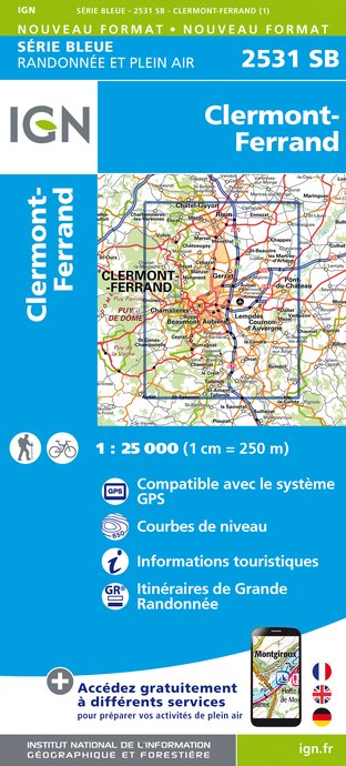
2531SB - CLERMONT-FERRAND
Editor : IGN
Collection : TOP 25 ET SÉRIE BLEUE
Scale : 1:25 000
13.90€

TOP75015 - CHAINE DES PUYS - MASSIF DU SANCY
Editor : IGN
Collection : TOP 75
Scale : 1:75 000
9.80€

148 CLERMONT FERRAND SALERS PNR DES VOLCANS D'AUVERGNE
Editor : IGN
Collection : TOP 100
Scale : 1:100 000
8.40€

D42-43 LOIRE HAUTE-LOIRE
Editor : IGN
Collection : CARTES DÉPARTEMENTALES IGN
Scale : 1:150 000
5.90€

D15-19 CANTAL CORREZE
Editor : IGN
Collection : CARTES DÉPARTEMENTALES IGN
Scale : 1:150 000
5.90€

D03-63 ALLIER PUY-DE-DÔME
Editor : IGN
Collection : CARTES DÉPARTEMENTALES IGN
Scale : 1:150 000
5.90€

EUROPE
Editor : IGN
Collection : DÉCOUVERTE DES PAYS DU MONDE IGN
Scale : 1:2 500 000
7.00€
What to visit in Clermont-ferrand
See more suggestionsExperience the annual festivals of Clermont-ferrand.
See more suggestions


Where to eat in Clermont-ferrand
See more suggestionsCome and taste typical dishes of Clermont-ferrand.
See more suggestions


Where to sleep in Clermont-ferrand
See more suggestionsChoose from a variety of lodgings in Clermont-ferrand.
See more suggestions


