Alert
Alerts
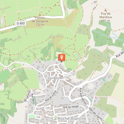
From Romagnat to Gergovie
Description
This natural belvedere offers a privileged view over the plains of the Limagne and Allier valleys, and the Auvergne volcanoes. This ancient oppidum was the scene of Julius Caesar's defeat of Vercingetorix in 52 BC.
Technical Information
Altimetric profile
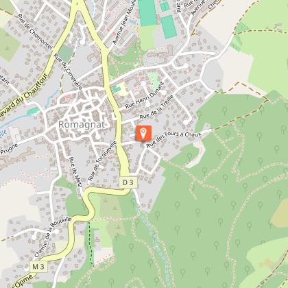
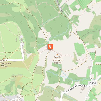
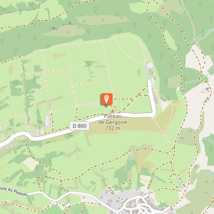
Starting point
Steps
Additional information
Sustainable tourism
Access by bus lines E6 and S14, "Romagnat Mairie" stop
Tips
- View of the Chaîne des Puys and Clermont-Ferrand.
- Broad views of the Forez mountains, the Comté, the Allier valley, the Cézallier and the Serre plateau.
- The Maison de Gergovie.
Updated by
Conseil départemental du Puy-de-Dôme - 02/06/2026
www.puydedome-tourisme.com/
Report a problem
Environments
In the country
Mountain view
Close to a public transportation
Bus stop < 500 m
Presence of livestock and guard dogs
Less than 10 minutes from a bus stop on foot
Distinctions
Listed PDIPR
Open period
From 01/01 to 31/12 daily.
Subject to favorable weather.
Topo guides and map references
Topo guides references :
2016 - Randos vues d'en haut - Discovering the Puy-de-Dôme - Conseil départemental du Puy-de-Dôme
Contact
Phone : 04 73 98 65 00
Email : info@clermontauvergnevolcans.com
Website : https://www.clermontauvergnevolcans.com
Facebook : https://www.facebook.com/clermontauvergnevolcans/
Location complements
Avenue de la République (near the wall opposite the Mairie entrance).
Soft mobility | Line 12, Mairie de Romagnat stop
Reception complements
For your own safety, always take a bottle of water, a hat, warm clothing and footwear suitable for walking.
Depending on weather conditions, certain itineraries are not recommended in bad weather (fog) or are not practicable, or even forbidden, during the winter season.
Some sites are fragile, so stay on the marked trails. Avoid picking wild flowers and disturbing wildlife. Pick up your garbage.
Animals are not allowed on some routes.
Guidebook with maps/step-by-step
1/ From the courtyard of the town hall, turn left into avenue de la République, then right into rue des Caves. Turn right into rue de la Treille, then left into allée André-Guinant. At the end of the alley, turn right around the building, then left again onto rue des Fours à chaux.
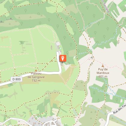
2/ Turn left up rue des Fours à chaux (metal sculptures by Yves Guérin) and continue on a path that climbs up into the undergrowth. After leaving the wood, continue straight ahead until you come to a fence at the entrance to a meadow on your right. Climb downhill on a path to the left until you reach a scree plateau.
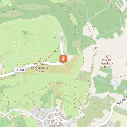
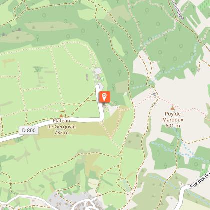
3/ Follow the edge of the plateau to the left. Go as far as the intersection at the bottom of the descent (off the circuit: take a straight AR for 80m: view of the Puy de Dôme, the Clermont-Ferrand conurbation and Limagne). Turn right onto the path crossing the plateau (information on the oppidum and pastoral huts). At the road (information on the right, on the south gate of the oppidum, opposite, on the chronology of archaeological excavations, on the left, memorial to the Gergovie group of the University of Strasbourg), take the access road to the P2 parking lot and continue on the path overhanging the road. Just before the bus park, turn left up to the Belvédère des Paysages (panoramic view). Descend to the parking lot, continue left, skirting the road and crossing it before a bend. Reach the rampart of the oppidum, then the Belvedere de la bataille de Gergovie, and descend along the edge of the plateau to an intersection below the Museum.
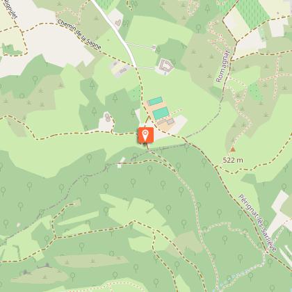
4/ Turn right onto the Puy Mardoux path, cross a wide track and continue down to the first houses in the village of Gergovie.
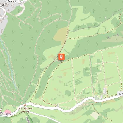
5/ Go up to the left, pass a cross and continue straight on (Rocs Rouges and Puy Mardoux site). Go down the path, keeping to the right at the next two forks, until you reach an intersection in a damp valley.
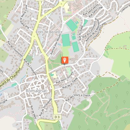
6/ Take a left-hand path to the first houses in Romagnat, ignoring the paths to the right and left. At the stone cross, turn right. At the bottom of Rue des Cerisiers, turn left to return to the starting point.
Proposed and managed by the Conseil départemental du Puy-de-Dôme - PDIPR.
Animals
Yes. All dogs must be kept on leashes because of the presence of herds.
Data author
