Tours
Activities
Places of interest
Where to eat
Where to sleep
Discover Beaumont, Puy-de-Dôme, Auvergne
Are you in charge of the destination?Nestled in the heart of Puy-de-Dôme in Auvergne, Beaumont offers a charming starting point for exploring the region. Enjoy a leisurely stroll through the historic center, with its ancient churches and cobbled streets. Don't miss Montjuzet Park in nearby Clermont-Ferrand, where you can take in stunning views of the Chaîne des Puys. Hiking enthusiasts will love the Regional Natural Park of the Auver...See more


What to do in Beaumont
See more suggestionsBook your activities in Beaumont and experience memorable moments.
See more suggestions


")
IGN cards

2531ETR - CHAÎNE DES PUYS RESISTANTE PNR DES VOLCANS D'AUVERGNE
Editor : IGN
Collection : TOP 25 RÉSISTANTE
Scale : 1:25 000
17.20€
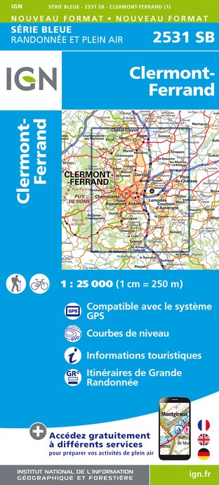
2531SB - CLERMONT-FERRAND
Editor : IGN
Collection : TOP 25 ET SÉRIE BLEUE
Scale : 1:25 000
13.90€

2531ET - CHAINE DES PUYS PNR DES VOLCANS D'AUVERGNE
Editor : IGN
Collection : TOP 25 ET SÉRIE BLEUE
Scale : 1:25 000
13.90€

TOP75015 - CHAINE DES PUYS - MASSIF DU SANCY
Editor : IGN
Collection : TOP 75
Scale : 1:75 000
9.80€

148 CLERMONT FERRAND SALERS PNR DES VOLCANS D'AUVERGNE
Editor : IGN
Collection : TOP 100
Scale : 1:100 000
8.40€

D42-43 LOIRE HAUTE-LOIRE
Editor : IGN
Collection : CARTES DÉPARTEMENTALES IGN
Scale : 1:150 000
5.90€

D15-19 CANTAL CORREZE
Editor : IGN
Collection : CARTES DÉPARTEMENTALES IGN
Scale : 1:150 000
5.90€

D03-63 ALLIER PUY-DE-DÔME
Editor : IGN
Collection : CARTES DÉPARTEMENTALES IGN
Scale : 1:150 000
5.90€

EUROPE
Editor : IGN
Collection : DÉCOUVERTE DES PAYS DU MONDE IGN
Scale : 1:2 500 000
7.00€
What to visit in Beaumont
See more suggestionsAttend events organized in Beaumont.
See more suggestions


Where to sleep in Beaumont
See more suggestionsStay near Beaumont with our lodging options.
See more suggestions


