Alert
Alerts
Redon-Artière
Description
We start by climbing into the forest overlooking the stream. Arriving at the Redon farm, the Puy de Dôme is right in front of you. On the way back, we descend into the wild Artière valley, past boulders including the Samson dolmen.
1 - After 300m, at the foot of a gigantic scree, take the path on the left. It climbs gradually above the valley, into the forest; through the trees you can see Ceyrat and Clermont Fd.
2 - Turn left and continue until you reach marker 3.
3 - Turn right. View of the Gergovie plateau and Montrognon; a little further on the right, you can see the hamlet of Berzet. As you leave the forest, which has been replaced by meadows, the view opens up and the climb is almost over. Go around an anti-vehicle barrier and straight across the Redon farm (watch out for dogs!). After the farm, don't take the path to the left, but continue along the wide track.
4 - Take the right-hand track, which changes direction from south-west to north-west, with a view of Puy de Dôme. Leaving a track coming from the left, go straight ahead until you reach the gate of the INRA research center; at this point, turn sharp right, heading northeast. The path begins to descend. Immediately after crossing it, take a narrower path to the right on the left bank of the river, altitude 815m, a sign reads "Mairie de Ceyrat 4.5km". Follow this path to marker 5.
5 - Take the steep, descending path on the right: "Ceyrat 3.6km", descending towards the Artière; new crossroads under the trees: turn right, continuing downhill. Footbridge over the Artière: from left bank to right bank. The river looks like a torrent, amid the rocks. You arrive at the foot of the Samson dolmen: a huge slab of rock that looks as if it has been carved by man. At a ford, we cross back over to the left bank and discover a gigantic octopus, the work of Breton sculptor Francis Berninca. Crossing a new bridge over the Artière, we walk back along the right bank to the huge scree slope of the outward journey; from here, the path remains the same until we reach the parking lot.
Technical Information
Altimetric profile
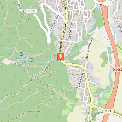
Starting point
Additional information
Sustainable tourism
This hike is served by the T2C bus line 4, stop "Ceyrat Robinson".
Updated by
Clermont Auvergne Volcans - 04/08/2025
www.clermontauvergnevolcans.com
Report a problem
Open period
All year round.
Contact
Email : ceyrando@gmail.com
Data author
