Alert
Alerts
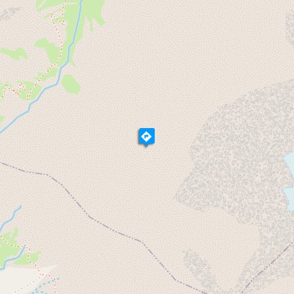
Tour of Oisans and Ecrins


Description
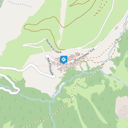
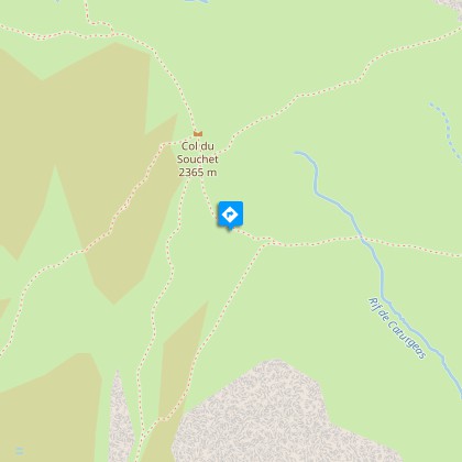
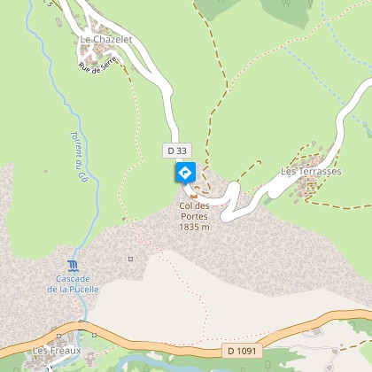
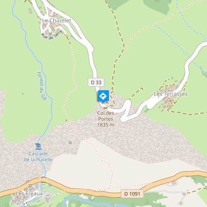
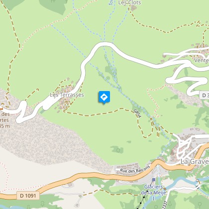
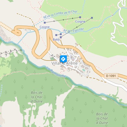
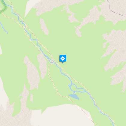
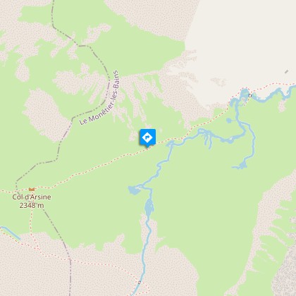
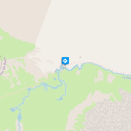
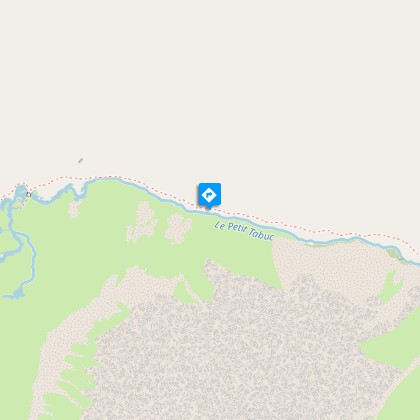
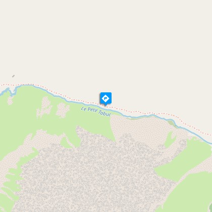
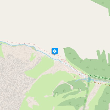
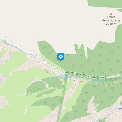
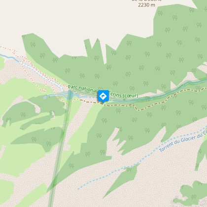
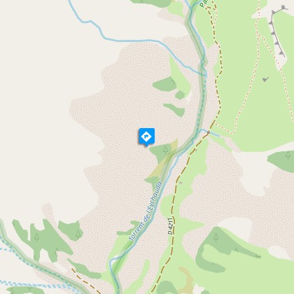
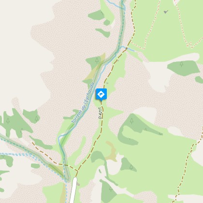
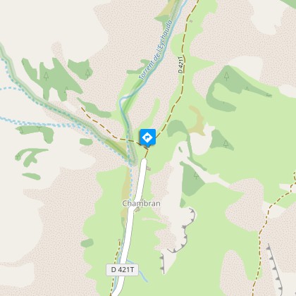
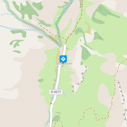
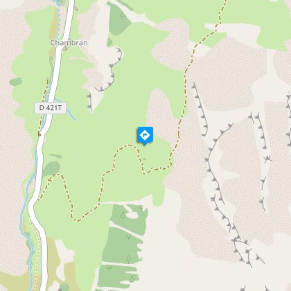
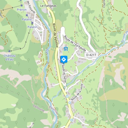
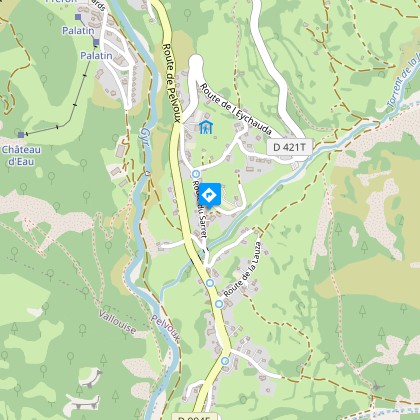
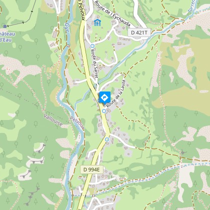
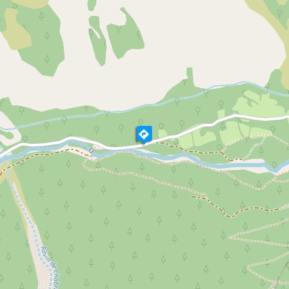
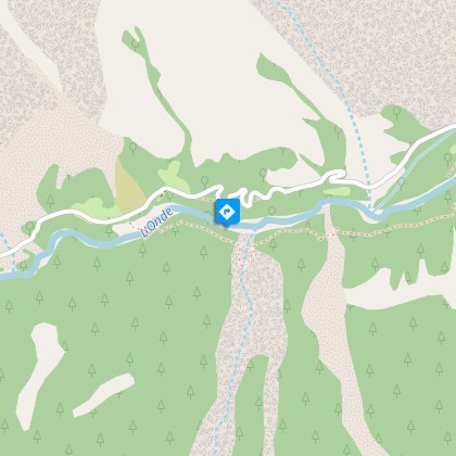
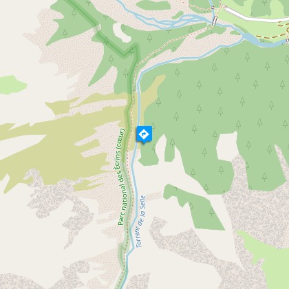
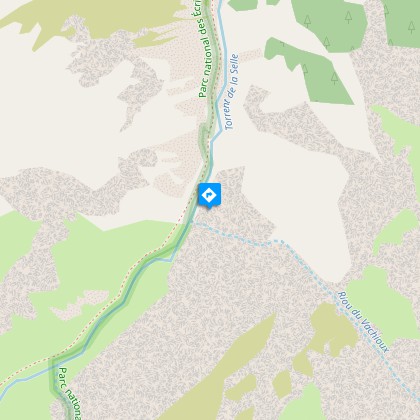
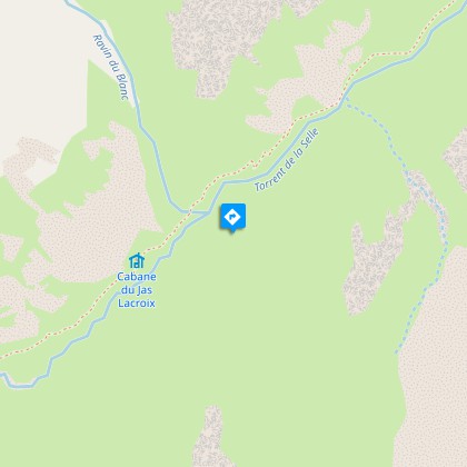
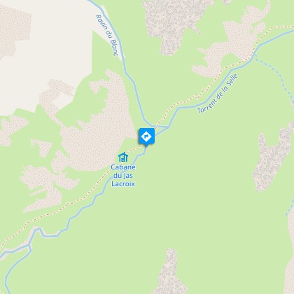
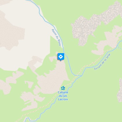
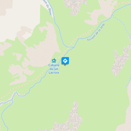
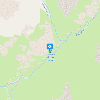
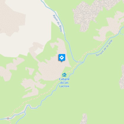
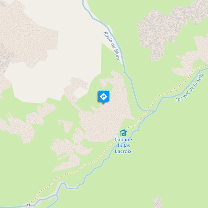
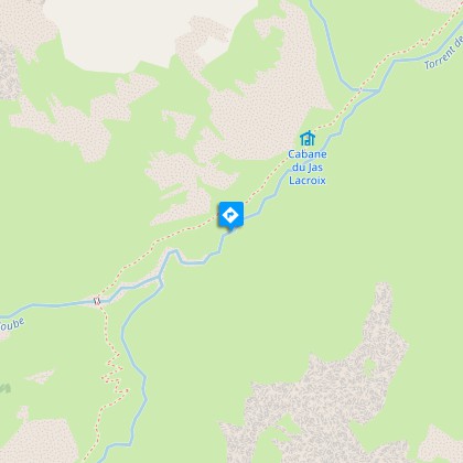
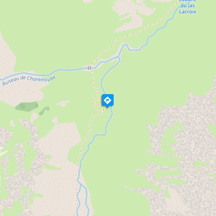
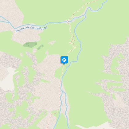
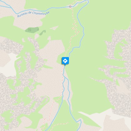
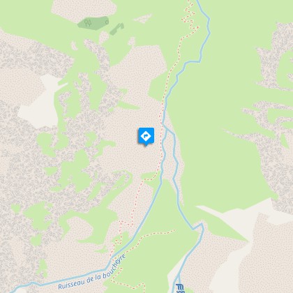
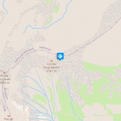
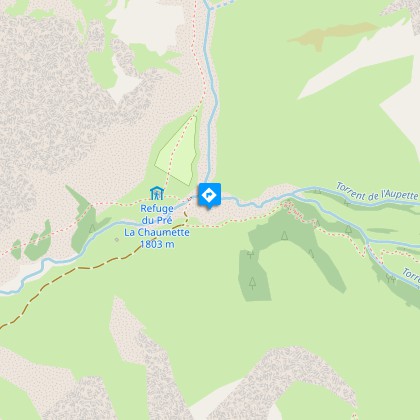
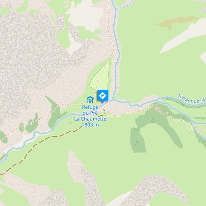
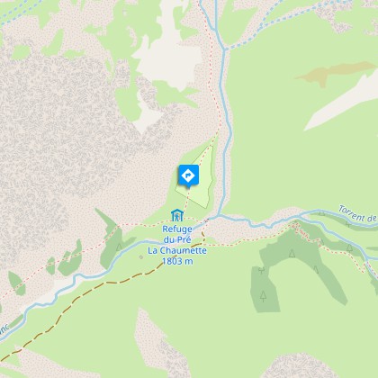
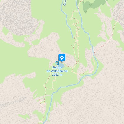
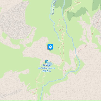
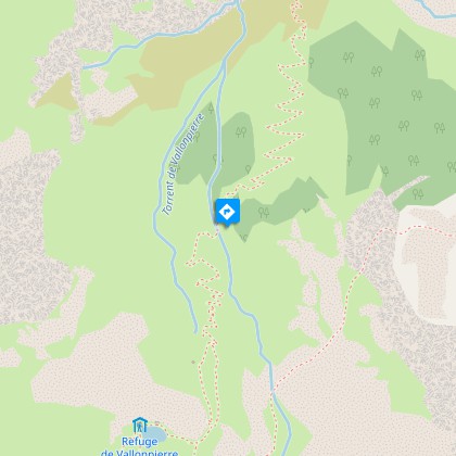
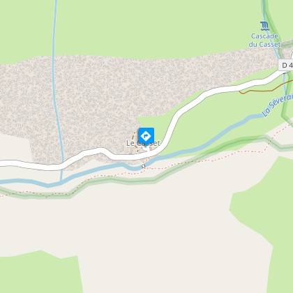
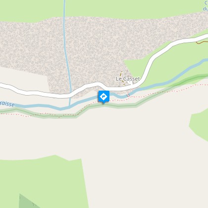
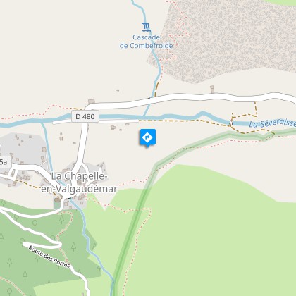
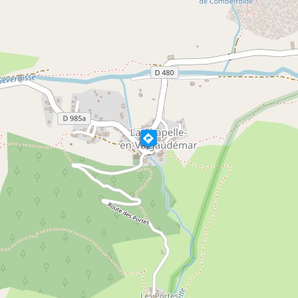
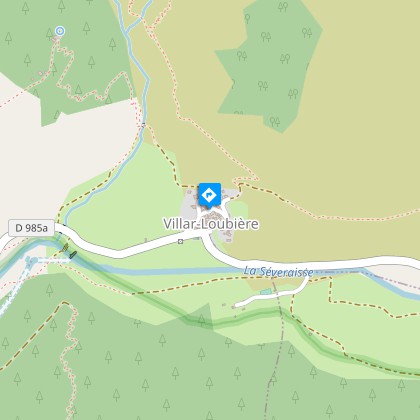
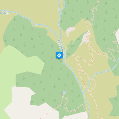
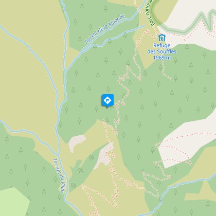
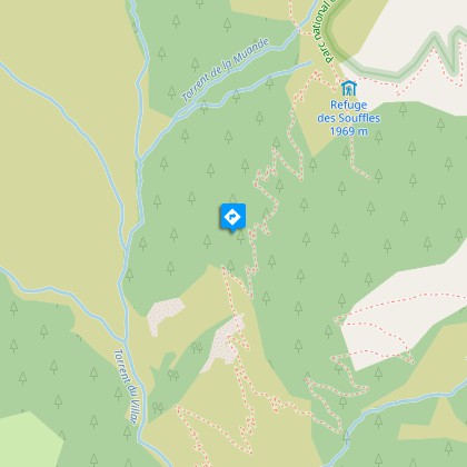
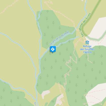
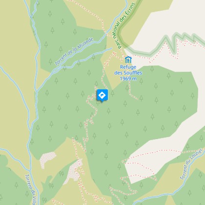
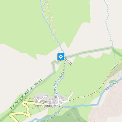
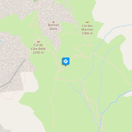
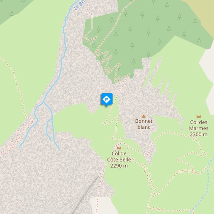
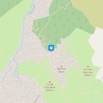
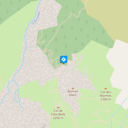
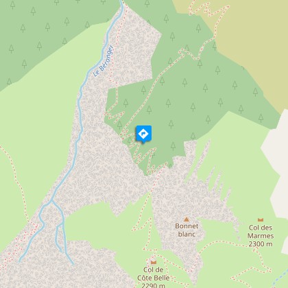
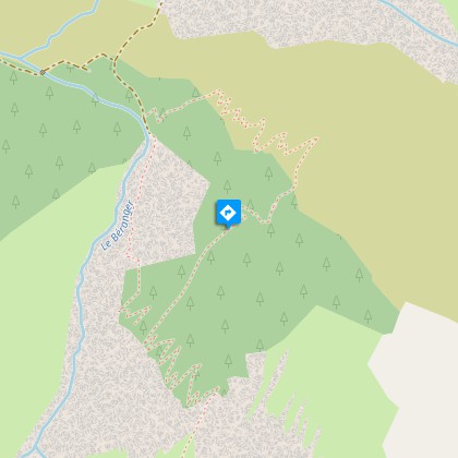
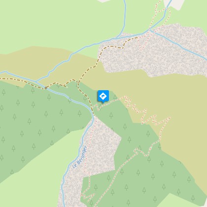
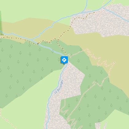
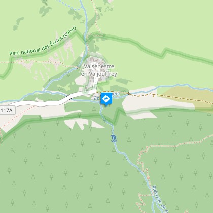
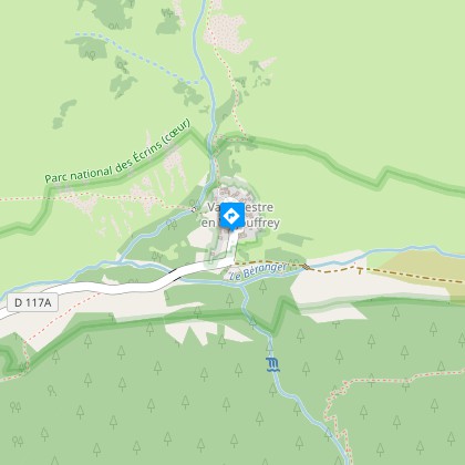
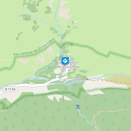
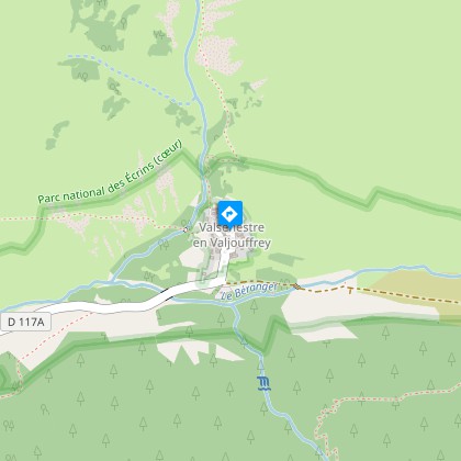
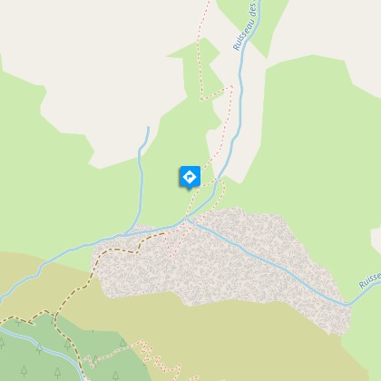
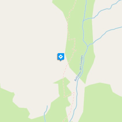
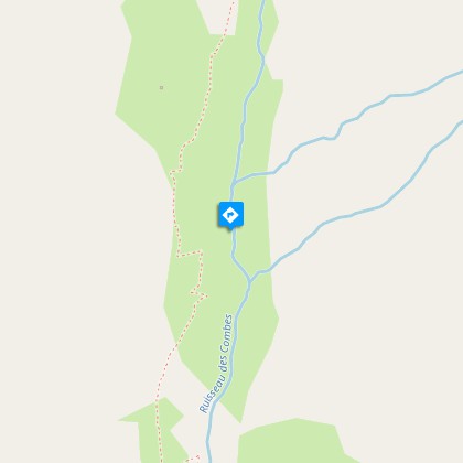
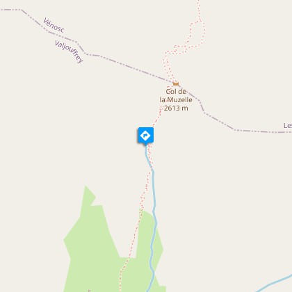
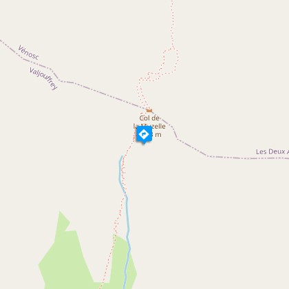
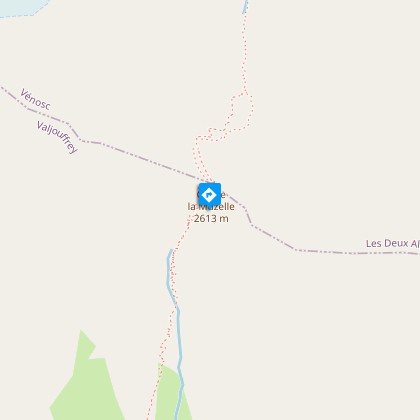
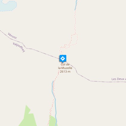
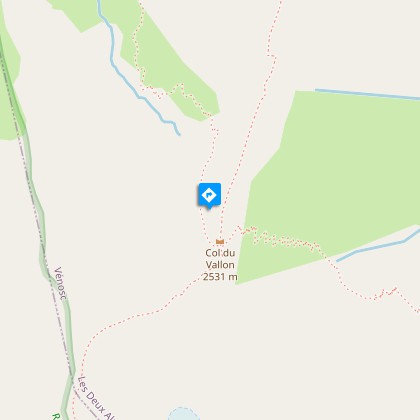
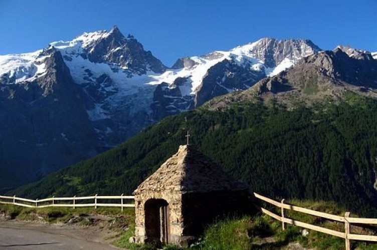
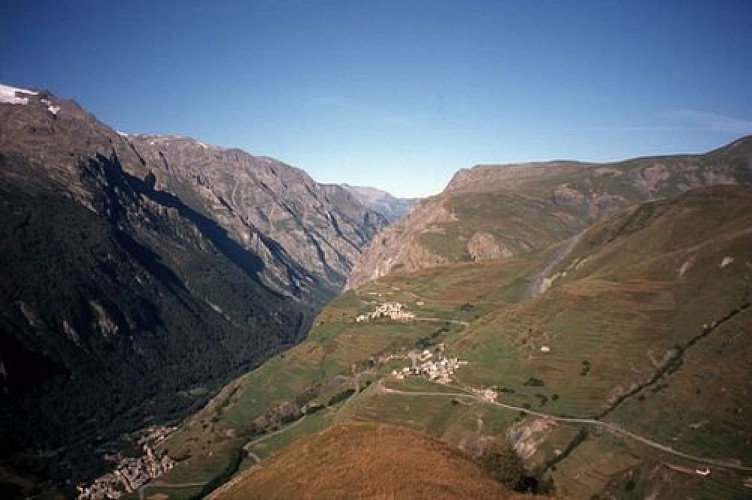
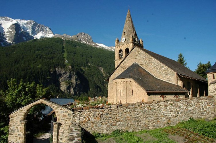
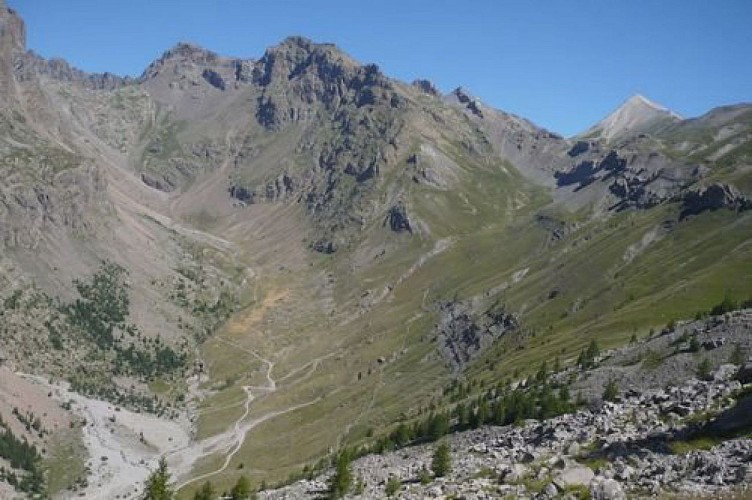
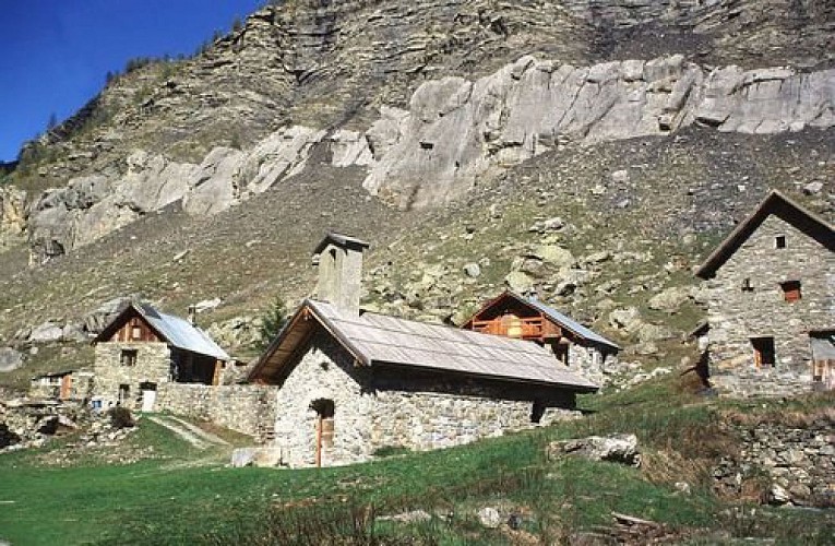
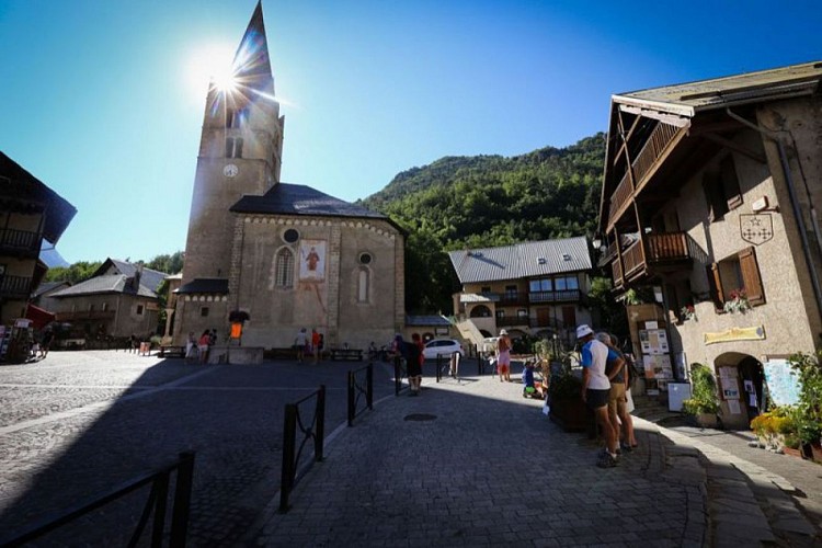
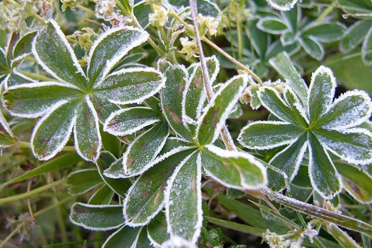
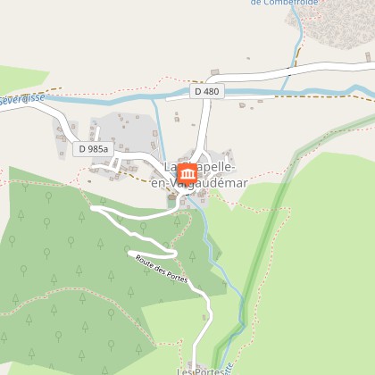
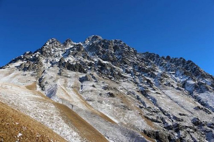
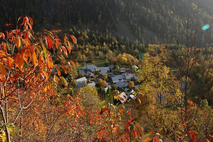
Two weeks of active hiking, taking us to the foot of the highest summits in the southern Alps.From Le Bourg d'Oisans, the Tour of Oisans and Ecrins footpath begins its grand tour with the help of handrails to reach the small villages perched on the mountainside. It descends towards the Sarenne mountain stream and then goes up to the mountain pass, with a panorama over the Monts de Lans. We then go down towards Clavans and the Ferrand valley, before a fine climb as far as Besse-en-Oisans, at the edge of the vast Emparis plateau. Above, Col de Souchet offers a five-star view over the Meije. A descent of almost 1000 metres leads to La Grave. You then walk along the River Romanche as far as its source on the mountain pastures of Villar d'Arène. When you arrive at Col d'Arsine, the spectacle is astonishing. The mountainous setting is an invitation to visit the Arsine glacier lake before beginning our long descent along the Petit Tabuc mountain stream as far as the Guisane valley and Monêtier-les-Bains. Our destination is Vallouise via Col de l'Eychauda and the peaceful chalets of Chambran. 8 km of road along the Onde mountain stream bring us to the Jas Lacroix alpine pastures. Crossing Col de l'Aup Martin, the highest point in all the tour, is always rich in adventure, and the descent towards the Pré de la Chaumette is equally exciting. To reach Lake Vallonpierre and Valgaudemar, you have to take care crossing no less than three mountain passes carved out in the schist. Along the Séveraisse, the footpath joins La Chapelle-en-Valgaudemar and then rises through Villar Loubière as far as the Souffles refuge and the impressive Col de la Vaurze. Equally impressive is the descent towards the unspoilt Valjouffrey. The rich green Col de Côte Belle contrasts with the schist landscapes we have seen until now. Valsenestre, in the Béranger valley, comes as a well-earned break before we set off for the last few twists and turns. We arrive at the vertical Col de la Muzelle, leading to the Vénéon. One last mountain pass takes us to the biggest lake in L’Oisans, the Lauvitel, and we are back in Le Bourg d'Oisans. We have come full circle!You can follow the GR® 54 footpath either from Le Bourg d'Oisans, L'Argentière, La Grave or from any other village along the way.
Technical Information
Altimetric profile
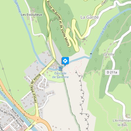
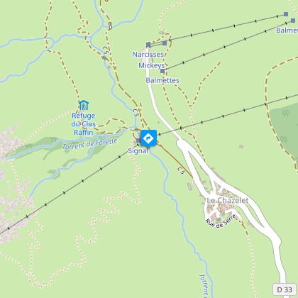
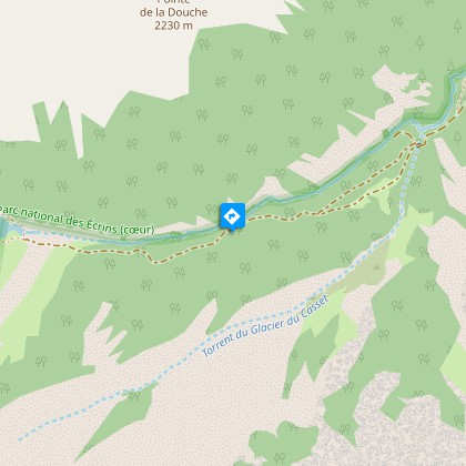
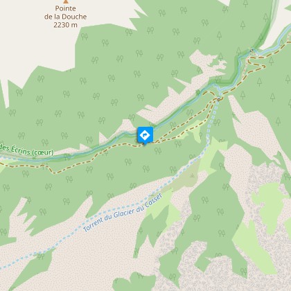
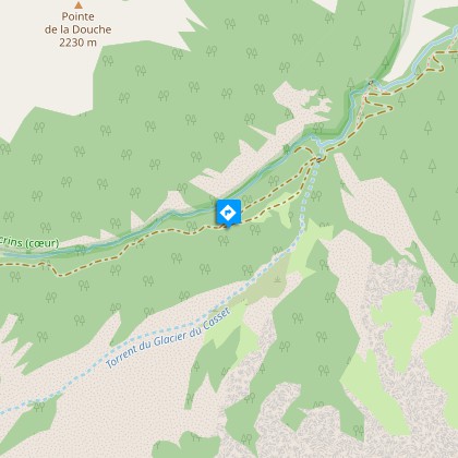
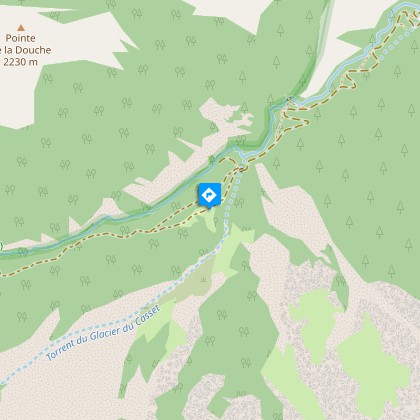
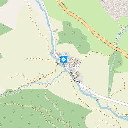
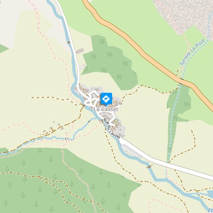
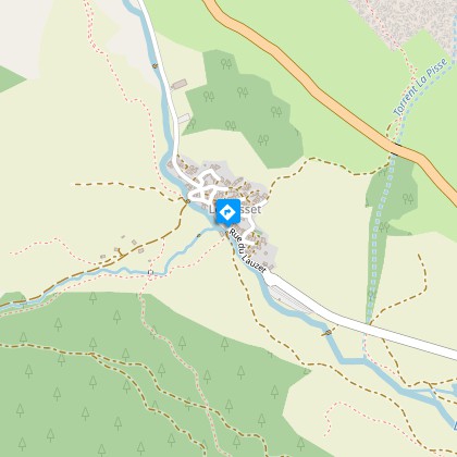
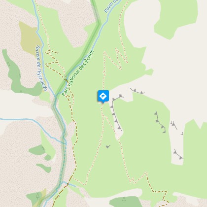
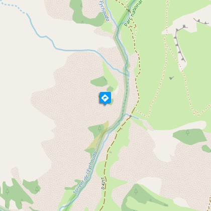
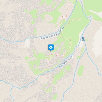
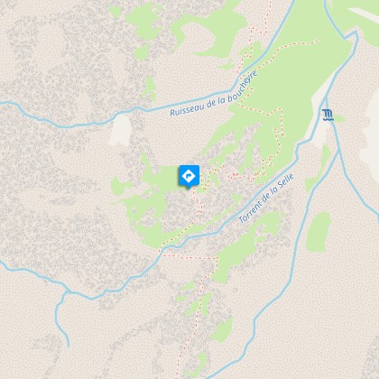
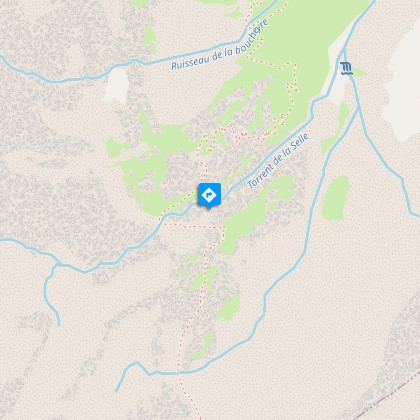
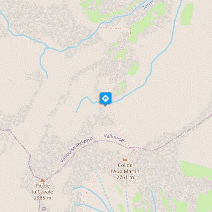
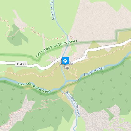
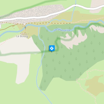
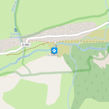
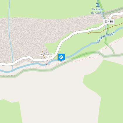
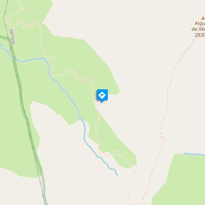
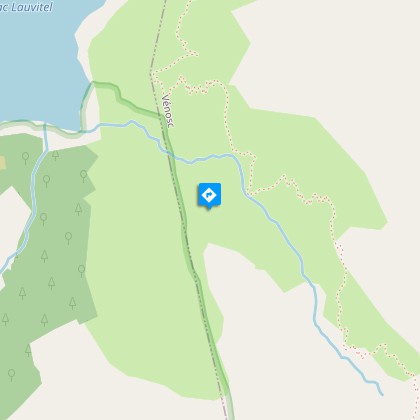
Starting point
Steps
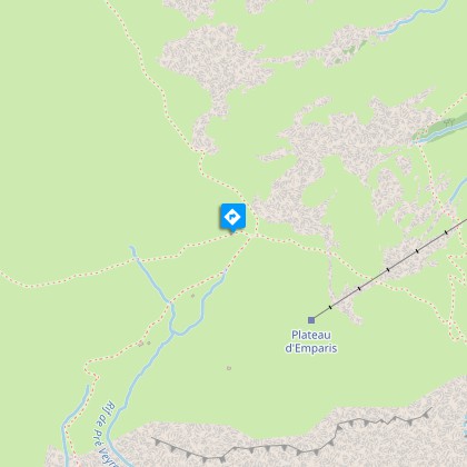
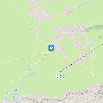
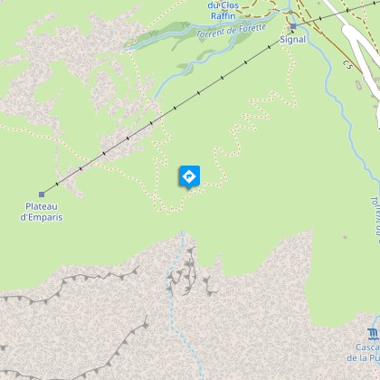
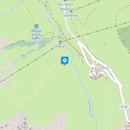
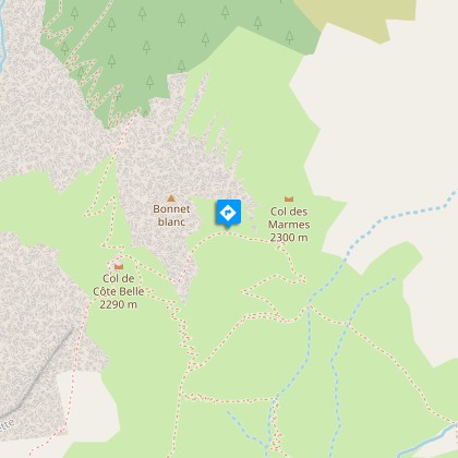
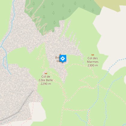
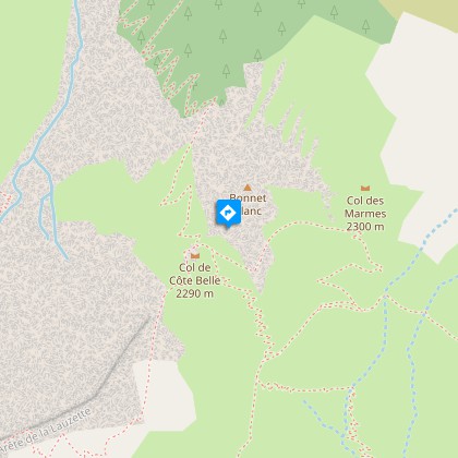
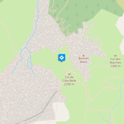
Points of interest


Additional information
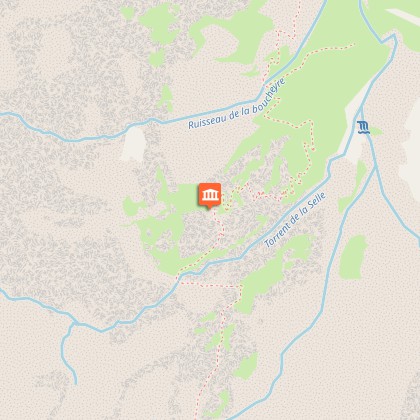
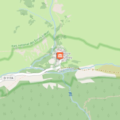
Departure
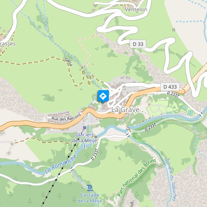
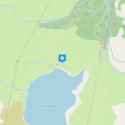
Le Bourg d’Oisans
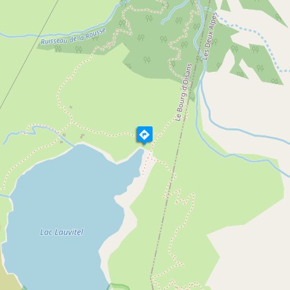
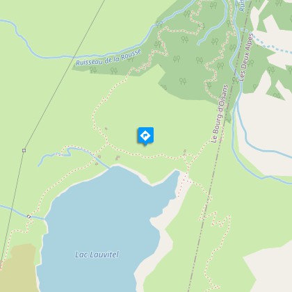
Arrival
Le Bourg d’Oisans
Ambiance
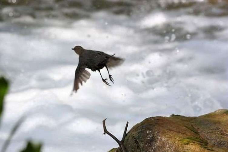
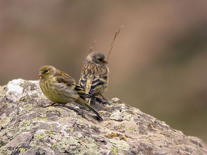
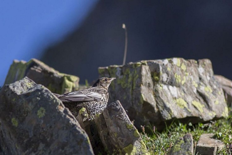
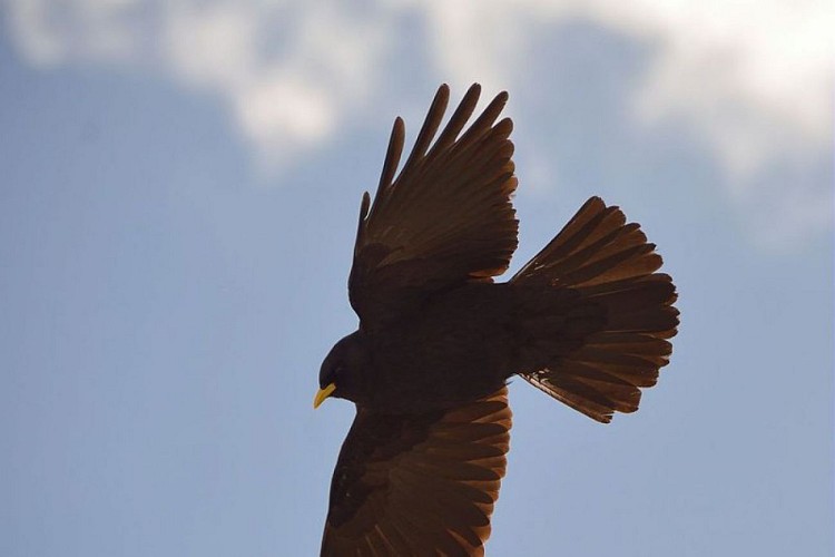
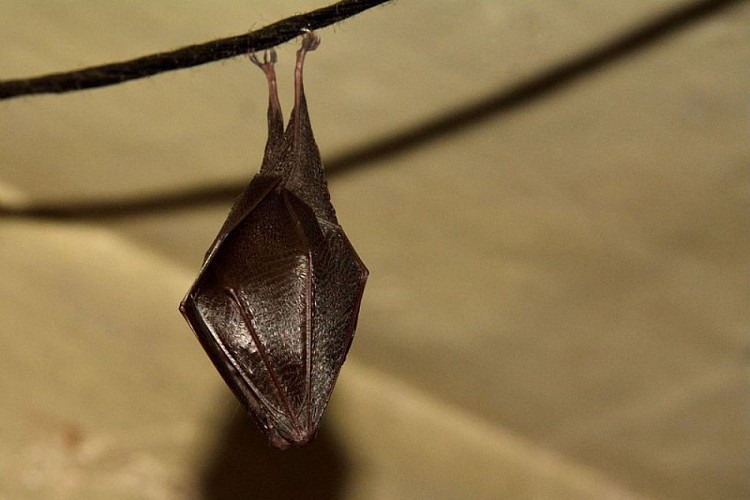
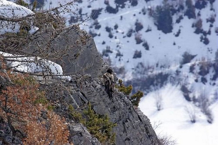
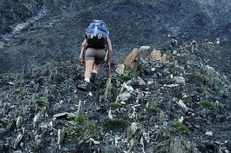
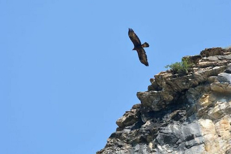
The Tour of Oisans and Ecrins footpath is one of the three great hiking trails in the French Alps (with Mont Blanc and the Vanoise), but it is without doubt the most unspoilt of all, and the hardest too: 184 kilometres, 14 mountain passes and over 12 800 metres of inclines.Leaving from L'Oisans, the GR 54 footpath takes you on a journey through mountain villages, deep valleys and high Alpine passes, watched by emblematic wildlife, discreet but present.
Access
The Bourg d'Oisans is 50 km from Grenoble by the motorway A48 (exit 8 "Station de l'Oisans), the N85 and the D 1091 from Vizille.
Advised parking
Behind the tourist office of Bourg d'Oisans. Free and safe.
Public transport
Grenoble SNCF station.Airports: Grenoble Isère www.grenoble-airport.comlyon Saint-Exupéry www.lyon.aeroport.fror Geneva www.gva.chdaily bus services between Grenoble-Le Bourg d’Oisans.VFD coaches +33(0)4 76 80 00 90www.transisiere.fr
Advice
The best time to do the tour is between late June and mid-September. Find out about weather conditions and snow levels on the mountain passes in early summer. Some passages, near high mountain areas, cross difficult terrain. It is possible to sleep in the open air all along the GR (see regulations in the National Park) and in campsites, hotels, gîtes or refuges. On some stages you will need to take your own food with you.
Herd protection dogs
In mountain pastures, protection dogs are there to protect the herds from predators (wolves, etc.).When I hike I adapt my behavior by going around the herd and pausing for the dog to identify me.Find out more about the actions to adopt with the article "Protection dogs: a context and actions to adopt".Tell us about your meeting by answering this survey.
Is in the midst of the park
The national park is an unrestricted natural area but subjected to regulations which must be known by all visitors.
