Alert
Alerts
Description
Map
Ratings and reviews
See around
Landscape of the cirque de Valsenestre
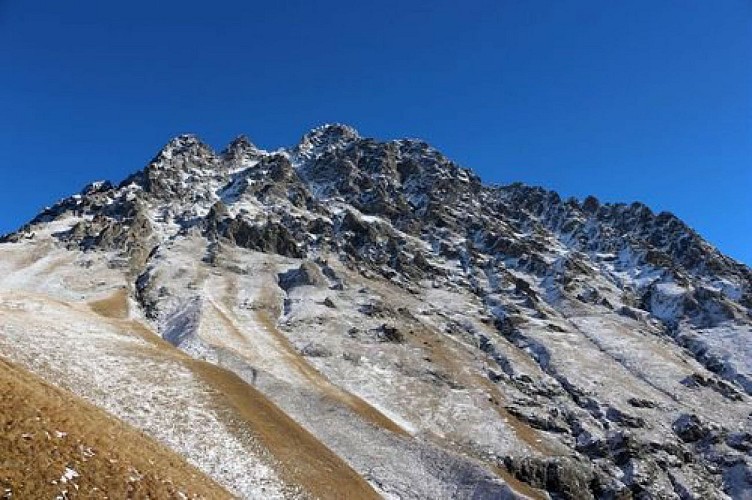

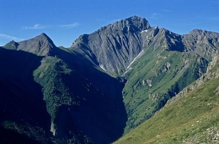
Credit
: Christophe Albert - PNE
Description
From the mountain pass, climb the little summit above to better see the landscape which shows the cirque de Valsenestre : on the left is the Signal du Lauvitel (2901m) and the Clapier du Perron (3169m), the mountain pass at Muzelle (2613m) where the GR54 is. At this level you can really see a geological fault separating the Grandes Rousses which are granite from the Muzelle block in gneiss. On the right, the principal summits are the Roche de la Muzelle (3465 m), and the pointe Swan (3294m). Le col de Côte-Belle separates the Pic de Valsenestre (2752m) on the left from the l’Aiguille des Marmes (3046 m) on the right.
Technical Information
Lat, Lng
44.8936.08063
Coordinates copied
Uncertain state
Point of Interest updated on 16/12/2022
This point of interest hasn't been updated recently, which could compromise the reliability of this information. We recommend that you inquire and take all necessary precautions. If you're the author, please verify your information.
Altimetric profile
Data author

Ratings and reviews
To see around