Tours
Activities
Places of interest
Where to eat
Where to sleep
Explore CAMPING LE PANORAMIQUE at Murat-le-quaire
Are you the owner?Staying at CAMPING LE PANORAMIQUE offers an immersive experience into the natural and cultural treasures of Murat-le-quaire, Puy-de-Dôme, Auvergne. The area is brimming with activities and sites to explore. Hike through the Parc Naturel Régional des Volcans d'Auvergne, discover the picturesque charm of Murat-le-quaire with its stone houses, or enjoy the breathtaking views from the Puy de Sancy. Do...See more
Walking around CAMPING LE PANORAMIQUE
See more suggestionsFamily walks around CAMPING LE PANORAMIQUE.
See more suggestions


")

What to do in CAMPING LE PANORAMIQUE
See more suggestionsEnjoy unforgettable moments in CAMPING LE PANORAMIQUE by booking activities for everyone.
See more suggestions


IGN cards
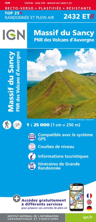
2432ETR - MASSIF DU SANCY RESISTANTE PNR DES VOLCANS D'AUVERGNE
Editor : IGN
Collection : TOP 25 RÉSISTANTE
Scale : 1:25 000
17.20€

2433SB - LA BOURBOULE BOURG-LASTIC
Editor : IGN
Collection : TOP 25 ET SÉRIE BLEUE
Scale : 1:25 000
13.90€
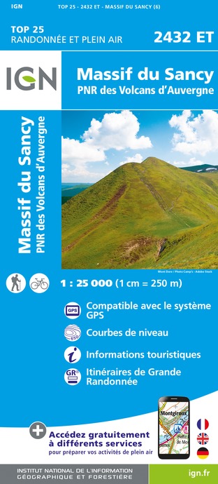
2432ET - MASSIF DU SANCY PNR DES VOLCANS D'AUVERGNE
Editor : IGN
Collection : TOP 25 ET SÉRIE BLEUE
Scale : 1:25 000
13.90€

TOP75015 - CHAINE DES PUYS - MASSIF DU SANCY
Editor : IGN
Collection : TOP 75
Scale : 1:75 000
9.80€

148 CLERMONT FERRAND SALERS PNR DES VOLCANS D'AUVERGNE
Editor : IGN
Collection : TOP 100
Scale : 1:100 000
8.40€

D03-63 ALLIER PUY-DE-DÔME
Editor : IGN
Collection : CARTES DÉPARTEMENTALES IGN
Scale : 1:150 000
5.90€

D15-19 CANTAL CORREZE
Editor : IGN
Collection : CARTES DÉPARTEMENTALES IGN
Scale : 1:150 000
5.90€

D23-87 CREUSE HAUTE-VIENNE
Editor : IGN
Collection : CARTES DÉPARTEMENTALES IGN
Scale : 1:150 000
5.90€

EUROPE
Editor : IGN
Collection : DÉCOUVERTE DES PAYS DU MONDE IGN
Scale : 1:2 500 000
7.00€
What to visit in CAMPING LE PANORAMIQUE
See more suggestionsVisit the iconic landmarks of CAMPING LE PANORAMIQUE.
See more suggestions


Where to eat in CAMPING LE PANORAMIQUE
See more suggestionsDiscover the culinary diversity of CAMPING LE PANORAMIQUE.
See more suggestions


Where to sleep in CAMPING LE PANORAMIQUE
See more suggestionsDiscover the best lodging options in CAMPING LE PANORAMIQUE.
See more suggestions


