Alert
Alerts
History along the water's edge

Description
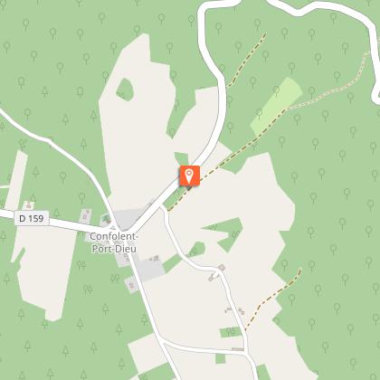
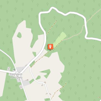
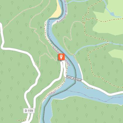
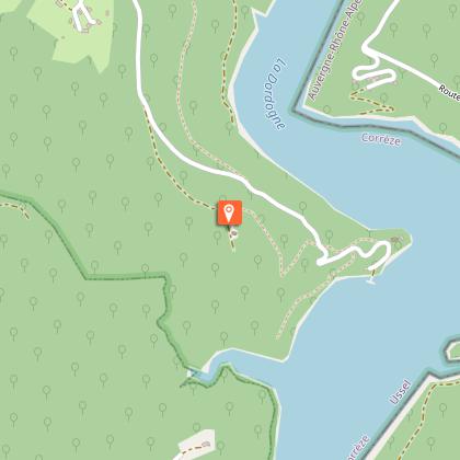
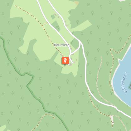
History turned upside down by a dam...Park in the village near the church. Go towards the town hall and then follow the D 159 towards Singles.As you leave the village, turn right towards Confolent below for 50 m, then the forest track on the left. At the bend in the road, turn left down the trail. Cross the road and continue on the trail. Go right at the next two crossroads; the trail overlooks the Chavanon gorge.Off the route: a 200 m return trip to the Arpiat bridge. Go up the road to the right for 600 m, and at the hairpin bend, take the forest track to the left. Follow it for 1.5 km.Be careful: the path is not very visible: leave the track for a small trail on the right that winds upwards. It joins a path that you take on the left. Follow it for some time and join the road. Turn left onto it. At the crossroads with the path that leads to the church of St-Martin, go back as far as the Chapelle de la Manants: go down; at the barricade, turn left onto a trail that leads down to the chapel. Push on to the reservoir. Go up the road (on the left, you can make a round trip to the remains of the tower and the fountain).Take the trail on the left that leads up to the church of St Martin. Continue past the church; the path passes in front of a spring and then follows the stream in the coombe: cross it and follow the markings carefully in this part because the trail is sometimes not very visible. Once you reach a clearing, cross the stream again; continue to the right: the trail continues to climb and joins a path that you take to the right to reach the village of Bourrière.As you leave the village, take the path on the left. When you get to the wood, the track becomes a path and crosses a stream. Go back up to the road.Cross it, and continue on the path opposite. Follow this road to the right to return to the starting point.
Technical Information
Altimetric profile
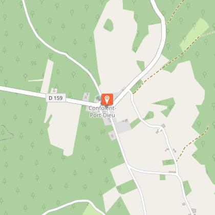
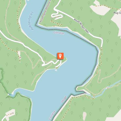
Starting point
Steps
Points of interest


Additional information
Advised parking
Bourg, Confolent-Port-Dieu
Advice
Please note, the second part of the route is quite challenging.
Access
Coming from Ussel, follow the RD 1089 towards Clermont-Fd. Turn right onto the D27 and D159 towards Confolent-Port-Dieu
Ambiance
Discover Confolent-Port-Dieu, built on a rocky outcrop at the confluence of the Dordogne and Chavanon rivers. From the source of the Bort-Les-Orgues dam to the last vestiges of Port-dieu, you will make your way through a preserved landscape where numerous brooks meander and deciduous and coniferous forests grow. A walk that is both physically challenging and cultural, you will walk through the Gorges of the Haute Dordogne as you discover the rich historical heritage of Confolent-Port-Dieu.
Arrival
Bourg, Confolent-Port-Dieu
Departure
Bourg, Confolent-Port-Dieu
Data author
