Alert
Alerts
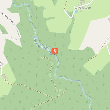
The Roman bridge

Description
Stories of bridges, and therefore of rivers, and therefore of links between people...Retrace your steps. Leave the Lagarde road on the right and turn left.Follow this road for 1.5 km, ignoring several paths on your left.When you see Les Bourrandes, take a path to the left. Turn left at the next crossroads; The path gradually becomes a trail (follow the markings carefully) and then forks to the right: it is not very clear to see in the woodland undergrowth. It joins a path, which you take to the right. Turn right onto the road.At the crossroads, turn left towards "Aire du Chavanon" for 200 m, then take the path on the right. Turn left at the Y-junction: continue on the main path; turn right at the crossroads when you reach the meadow; ignore a path on your right a little further on.Take the road to the left; go over the railway bridge. Continue. Turn left at the next crossroads and cross the railway line again.After the bridge, follow the track to the right. Turn left at the next crossroads. At the pond, take the track on the right. This becomes a path. Go straight down to the Roman bridge.Go up for 100 m and take a trail (difficult to spot) on the right that crosses a small stream. Continue through the woodland undergrowth. Turn left at the next crossroads. At the end, turn right and go back to the Barricade stream. Go up to a point where the tracks cross.Turn right: stay on this gravelled track leaving several paths on your right. Take the road on the right for 200 m. then follow the tarmac track on the left towards Lespinat. Go through the village; 400 m further on, take the path on the right. Follow the trails to the left and then the path to the right, and the route you took at the start.Follow the track to the right (straight ahead to return to the start), pass under the motorway bridge. Follow the track to the right after the bridge. Turn left at the Y-junction. Continue straight on the main road.At the end of the road, turn left onto a path; continue straight ahead: At the edge of the gorge, this path becomes a trail: go straight down. At the bottom, go straight on until you reach a wide track that you take on the left.Follow this old railway line for 3 km, passing under the motorway viaduct (off the circuit: 200 metres after the viaduct, following the sign "barrage de Lagarde, you can go down to the edge of the Chavanon).At the bridge, leave the track and follow the path on the left that goes up to Lagarde. In the village, follow the road to the right and then to the left. 100 m after the village, follow the road to the left to find the starting point again.
Technical Information
Altimetric profile
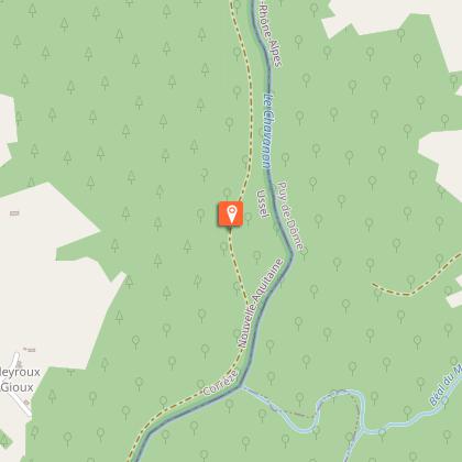
Starting point
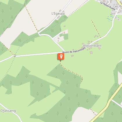
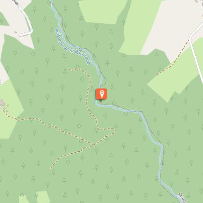
Steps

Additional information
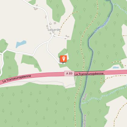
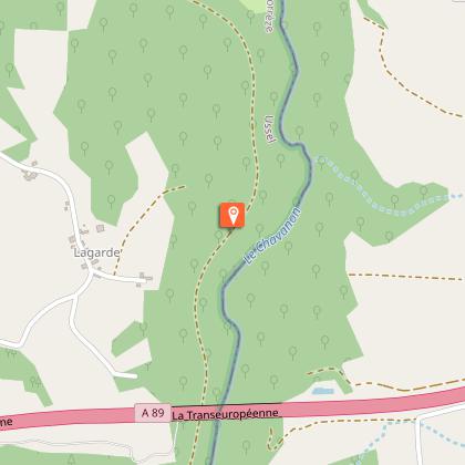
Advised parking
Belvedere of Chavanon, Merlines
Advice
Coming from Ussel, follow the RD 1089 towards Clermont-Ferrand; In Merlines, turn to the right and be careful; the circuit does not start from the village of Merlines but from the belvedere of Chavanon. A shortcut (15 km - three and a half hours) is the subject of a specific description sheet. Head towards "belvédère du Chavanon".
Access
Coming from Ussel, follow the RD 1089 towards Clermont-Ferrand; in Merlines, turn right and head towards "belvédère du Chavanon".
Ambiance
From the starting point, you can see the magnificent Chavanon motorway viaduct. Much more modest, the so-called "Roman" bridge allows you to cross the Barricade stream. Although the exact date of its construction is not known, a crossing structure already existed in 1818. Its recent restoration (2019) has enhanced this bridge. Shortly afterwards, a short return trip reveals the remains of a mill. On the second part of the loop, you will take a long walk along the old railway line which connected Bort les Orgues to Merlines while skirting the gorges of Chavanon.
Arrival
Belvedere of Chavanon, Merlines
Departure
Belvedere of Chavanon, Merlines
