Tours
Activities
Places of interest
Where to eat
Where to sleep
Discover Mirefleurs from Camping de l'Europe
Are you the owner?Uncover the hidden gems of Mirefleurs and the surrounding areas while staying at Camping de l'Europe. Conveniently located in Puy-de-Dôme, at the heart of Auvergne, this site offers a variety of activities for the whole family. Begin your journey with a stroll through the charming streets of Mirefleurs, where historical heritage is revealed at every turn. Don't miss the stunning Château de Montlos...See more
Walking around CAMPING DE L'EUROPE
See more suggestionsFamily walks around CAMPING DE L'EUROPE.
See more suggestions


What to do in CAMPING DE L'EUROPE
See more suggestionsExperience unique moments with the bookable activities in CAMPING DE L'EUROPE.
See more suggestions
")


IGN cards
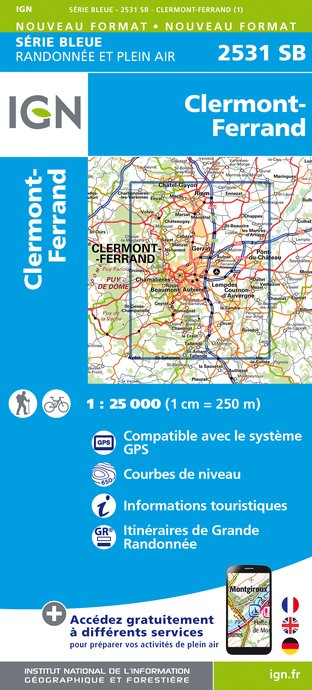
2531SB - CLERMONT-FERRAND
Editor : IGN
Collection : TOP 25 ET SÉRIE BLEUE
Scale : 1:25 000
13.90€

TOP75015 - CHAINE DES PUYS - MASSIF DU SANCY
Editor : IGN
Collection : TOP 75
Scale : 1:75 000
9.80€

148 CLERMONT FERRAND SALERS PNR DES VOLCANS D'AUVERGNE
Editor : IGN
Collection : TOP 100
Scale : 1:100 000
8.40€

D42-43 LOIRE HAUTE-LOIRE
Editor : IGN
Collection : CARTES DÉPARTEMENTALES IGN
Scale : 1:150 000
5.90€

D15-19 CANTAL CORREZE
Editor : IGN
Collection : CARTES DÉPARTEMENTALES IGN
Scale : 1:150 000
5.90€

D03-63 ALLIER PUY-DE-DÔME
Editor : IGN
Collection : CARTES DÉPARTEMENTALES IGN
Scale : 1:150 000
5.90€

EUROPE
Editor : IGN
Collection : DÉCOUVERTE DES PAYS DU MONDE IGN
Scale : 1:2 500 000
7.00€
What to visit in CAMPING DE L'EUROPE
See more suggestionsEnjoy the green spaces of CAMPING DE L'EUROPE.
See more suggestions


Where to eat in CAMPING DE L'EUROPE
See more suggestionsExplore the best dining spots in CAMPING DE L'EUROPE.
See more suggestions


Where to sleep in CAMPING DE L'EUROPE
See more suggestionsEnjoy our accommodation recommendations in CAMPING DE L'EUROPE.
See more suggestions


