Alert
Alerts
The Abbey of Bouschet
Description
One of the most beautiful itineraries in the area, which offers a panoramic view over the entire region. From the village of Yronde-et-Buron and its bright arkose houses (blond stone), we travel south... and to the magnificent and nearby Forest of the Comté.
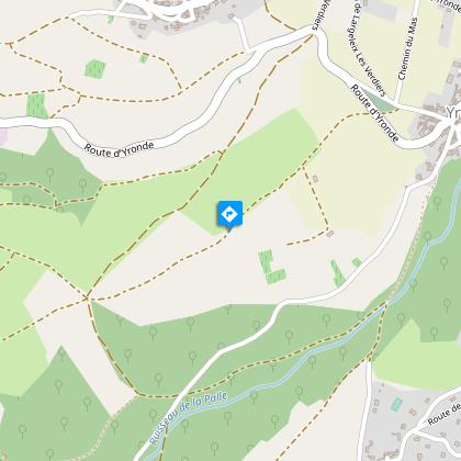
Starting point - Cross the departmental road, take the "Chemin de l'Abbaye". At the bottom of the valley, cross the bridge and turn left. Go past the ruins of the Abbey of Bouschet (commemorative plaque), cross the D760 and go up in front. Take the first path on the left, first in the undergrowth and then in the middle of the vines up to a T-junction.
1 - Take the track which rises to the right. Leave the first path on the left (view on the castle of Buron, the hills of Lembron, the Cézallier, the Sancy massif, the Puys chain). At the crossroads of five paths, continue on the main path to the top of the hill.
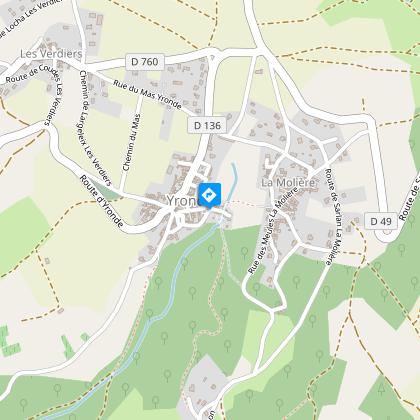
2 - Turn right. Take the first road on the left at the level of a large scree, then the first road on the right which joins a road on the left to Yronde-et-Buron. After the first houses, turn right and take the street "Sous les Treilles" until you reach a crossroad (crossroads with other PRs).
3 - Take the small road on the right which goes down between gardens, go up leaving a path on the right up to a road. Turn right for about 400 m to reach another road. Take it to the right. 150 m further on, take the path on the left in the undergrowth, until the next crossing.
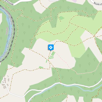
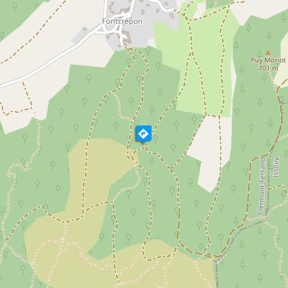
4 - Turn left up into the forest. At the T-junction, turn left. Leave a path successively to the left and then to the right. At the fork, after leaving the wood, turn right. At the next crossing, continue straight ahead (viewpoints: Livradois, Lembron, Cézallier, massif du Sancy and the Puys chain). Go down to the undergrowth, leave the first path on the left and go up to the right. The itinerary describes a wide loop on the right while going down quickly (views on the Val d'Allier, Issoire, Lembron and Cézallier). Continue, leaving a path on the right, until you reach a large T-junction.
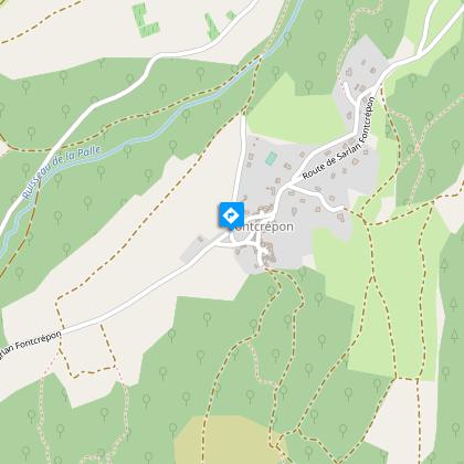
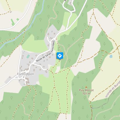
5 - Turn to the right and continue on a good path which goes down towards Fontcrépon. Before the first houses, take a path on the left, cross the village and get back to the starting point.
Technical Information
Altimetric profile
Starting point
Steps
Additional information
Tips
- Ruins of the Bouschet abbey (commemorative plaque).
- View of the Château de Buron, the Lembron hills, the Cézallier, the Sancy massif, the Chaîne des Puys, the Allier valley and Issoire.
Updated by
Conseil départemental du Puy-de-Dôme - 02/06/2026
www.puydedome-tourisme.com/
Report a problem
Environments
Presence of livestock and guard dogs
Distinctions
Listed PDIPR
Open period
From 01/01 to 31/12 daily.
Subject to favorable weather.
Location complements
At Coudes, take the D229 towards Parent. At Bogers, take the D136 towards Yronde-et-Buron. After leaving Yronde, turn right onto the D755 to the village of Fontcrépon.
Contact
Phone : 04 73 79 37 69
Email : aydat@clermontauvergnevolcans.com
Website : https://www.clermontauvergnevolcans.com
Reception complements
For your own safety, always take a bottle of water, a hat, warm clothing and footwear suitable for walking.
Depending on weather conditions, certain itineraries are not recommended in bad weather (fog) or are not practicable, or even forbidden, during the winter season.
Some sites are fragile, so stay on the marked trails. Avoid picking wild flowers and disturbing wildlife. Pick up your garbage.
Animals are not allowed on some routes.
Guidebook with maps/step-by-step
1/ Cross the main road and take the "Chemin de l'Abbaye". At the bottom of the valley, cross the bridge and turn left. Pass the ruins of the Bouschet Abbey (commemorative plaque), cross the D760 and go straight up. Take the first path on the left, first through undergrowth, then through vines, until you reach a T-junction.
2/ Take the track that rises to the right. Leave the first track on the left (view of the Château de Buron, the Lembron hills, the Cézallier, the Sancy massif and the Chaîne des Puys). At the crossroads of five paths, continue on the main path to the top of the hill.
3/ Turn right. Take the first track on the left at a large scree, then the first track on the right, which joins a road on the left as far as Yronde-et-Buron. After the first houses, turn right into the "Sous les Treilles" road as far as a crossroads (junction with other PR roads).
4/ Take the small road on the right which descends between gardens, then go up leaving a track on the right until you reach a road. Follow this road to the right for about 400 m to reach another road. Turn right. 150 m further on, take the left-hand path through undergrowth to the next crossroads.
5/ Turn left uphill through the forest. At the T-junction, turn left. Follow the path to the left and then to the right. At the fork, after leaving the wood, go right. At the next crossroads, go straight ahead (viewpoint: Livradois, Lembron, Cézallier, Sancy massif and Puys chain). Descend into the undergrowth, leaving the first path on the left and climbing to the right. The itinerary describes a wide loop to the right, descending rapidly (view of the Allier valley, Issoire, Lembron and Cézallier). Continue, leaving a track on the right, until you reach a large T-junction.
6/ Turn right and follow a good track down to Fontcrépon. Before the first houses, take a track on the left, cross the village and rejoin the starting point.
Proposed and managed by the Conseil départemental du Puy-de-Dôme - PDIPR.
Animals
Yes. Dogs must be kept on a leash due to the presence of herds.
Data author
