Tours
Activities
Places of interest
Where to eat
Where to sleep
Discover Auvergne's Charm at Camping Les Vernières La Bourboule
Are you the owner?Welcome to Camping Les Vernières in La Bourboule, your gateway to an unforgettable experience in the heart of Auvergne. Nestled in Puy-de-Dôme, La Bourboule is renowned for its therapeutic spas and historical charm. Nearby, the Sancy mountains offer breathtaking landscapes perfect for hiking and mountain biking. Stroll through the Chaudefour Valley, admire the waterfalls of Mont-Dore, or enjoy wat...See more
Walking around CAMPING LES VERNIERES LA BOURBOULE
See more suggestionsExplore the parks and paths of CAMPING LES VERNIERES LA BOURBOULE.
See more suggestions


What to do in CAMPING LES VERNIERES LA BOURBOULE
See more suggestionsBook your activities in CAMPING LES VERNIERES LA BOURBOULE and experience memorable moments.
See more suggestions


IGN cards
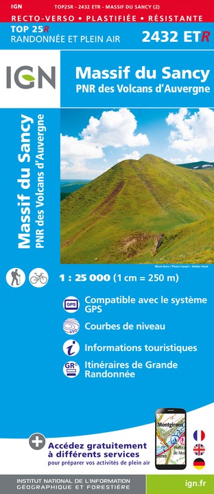
2432ETR - MASSIF DU SANCY RESISTANTE PNR DES VOLCANS D'AUVERGNE
Editor : IGN
Collection : TOP 25 RÉSISTANTE
Scale : 1:25 000
17.20€

2433SB - LA BOURBOULE BOURG-LASTIC
Editor : IGN
Collection : TOP 25 ET SÉRIE BLEUE
Scale : 1:25 000
13.90€
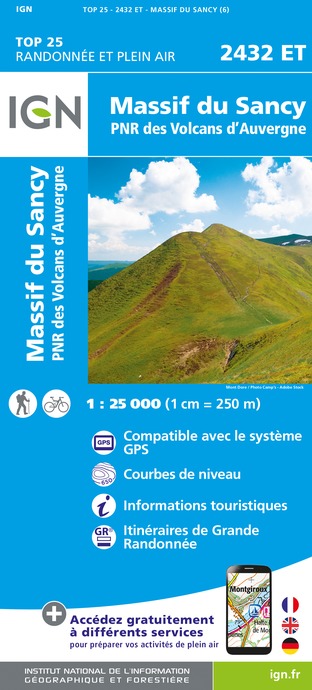
2432ET - MASSIF DU SANCY PNR DES VOLCANS D'AUVERGNE
Editor : IGN
Collection : TOP 25 ET SÉRIE BLEUE
Scale : 1:25 000
13.90€

TOP75015 - CHAINE DES PUYS - MASSIF DU SANCY
Editor : IGN
Collection : TOP 75
Scale : 1:75 000
9.80€

148 CLERMONT FERRAND SALERS PNR DES VOLCANS D'AUVERGNE
Editor : IGN
Collection : TOP 100
Scale : 1:100 000
8.40€

D03-63 ALLIER PUY-DE-DÔME
Editor : IGN
Collection : CARTES DÉPARTEMENTALES IGN
Scale : 1:150 000
5.90€

D15-19 CANTAL CORREZE
Editor : IGN
Collection : CARTES DÉPARTEMENTALES IGN
Scale : 1:150 000
5.90€

D23-87 CREUSE HAUTE-VIENNE
Editor : IGN
Collection : CARTES DÉPARTEMENTALES IGN
Scale : 1:150 000
5.90€

EUROPE
Editor : IGN
Collection : DÉCOUVERTE DES PAYS DU MONDE IGN
Scale : 1:2 500 000
7.00€
What to visit in CAMPING LES VERNIERES LA BOURBOULE
See more suggestionsStroll through the historic districts of CAMPING LES VERNIERES LA BOURBOULE.
See more suggestions


Where to eat in CAMPING LES VERNIERES LA BOURBOULE
See more suggestionsThe restaurants of CAMPING LES VERNIERES LA BOURBOULE await you.
See more suggestions


Where to sleep in CAMPING LES VERNIERES LA BOURBOULE
See more suggestionsDiscover popular accommodations in CAMPING LES VERNIERES LA BOURBOULE.
See more suggestions


