Tours
Activities
Places of interest
Where to eat
Where to sleep
Discover Aydat, Puy-de-Dôme, Auvergne
Are you in charge of the destination?Tucked in the heart of the volcanic region of Auvergne, Aydat offers an opportunity to immerse yourself in breathtaking natural surroundings. Known for its eponymous lake, the largest natural lake in Auvergne, the area provides ample access to aquatic activities such as kayaking, sailing, and swimming. Hiking enthusiasts will delight in the nearby Parc naturel régional des Volcans d'Auvergne, perf...See more


What to do in Aydat
See more suggestionsEnjoy the activities available in Aydat for moments of relaxation and fun.
See more suggestions


")


IGN cards
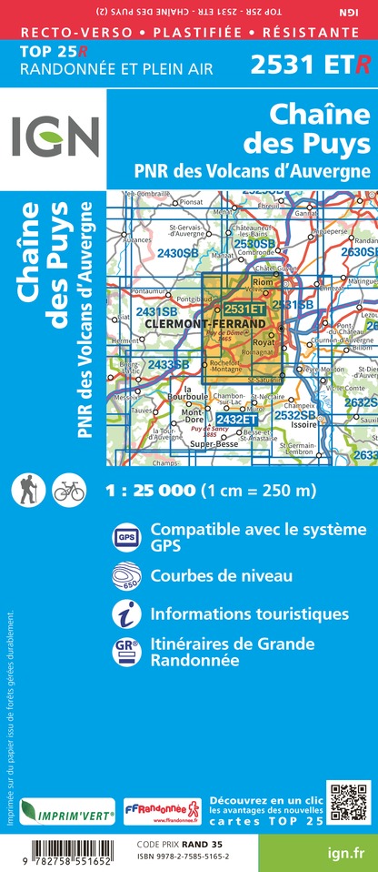
2531ETR - CHAÎNE DES PUYS RESISTANTE PNR DES VOLCANS D'AUVERGNE
Editor : IGN
Collection : TOP 25 RÉSISTANTE
Scale : 1:25 000
17.20€

2531ET - CHAINE DES PUYS PNR DES VOLCANS D'AUVERGNE
Editor : IGN
Collection : TOP 25 ET SÉRIE BLEUE
Scale : 1:25 000
13.90€

TOP75015 - CHAINE DES PUYS - MASSIF DU SANCY
Editor : IGN
Collection : TOP 75
Scale : 1:75 000
9.80€

148 CLERMONT FERRAND SALERS PNR DES VOLCANS D'AUVERGNE
Editor : IGN
Collection : TOP 100
Scale : 1:100 000
8.40€

D42-43 LOIRE HAUTE-LOIRE
Editor : IGN
Collection : CARTES DÉPARTEMENTALES IGN
Scale : 1:150 000
5.90€

D03-63 ALLIER PUY-DE-DÔME
Editor : IGN
Collection : CARTES DÉPARTEMENTALES IGN
Scale : 1:150 000
5.90€

D15-19 CANTAL CORREZE
Editor : IGN
Collection : CARTES DÉPARTEMENTALES IGN
Scale : 1:150 000
5.90€

EUROPE
Editor : IGN
Collection : DÉCOUVERTE DES PAYS DU MONDE IGN
Scale : 1:2 500 000
7.00€
What to visit in Aydat
See more suggestionsStroll through the historic districts of Aydat.
See more suggestions


Where to eat in Aydat
See more suggestionsRestaurants in Aydat will captivate you.
See more suggestions


Where to sleep in Aydat
See more suggestionsDiscover available accommodations around Aydat.
See more suggestions


