Tours
Activities
Places of interest
Where to eat
Where to sleep
Discover the Charm of Lorlanges, Haute-Loire, Auvergne
Are you in charge of the destination?Nestled in the heart of the Auvergne region, Lorlanges, Haute-Loire, is the perfect destination for nature lovers and history enthusiasts. Begin your journey with a trip to the stunning landscapes of the Parc Naturel Régional des Volcans d'Auvergne, located nearby. Enjoy hiking, cycling excursions, and family picnics. Don't miss the majestic castles of the region, like the Château de Domeyrat, whe...See more
Walking around Lorlanges
See more suggestionsDiscover the nature of Lorlanges on foot.
See more suggestions


What to do in Lorlanges
See more suggestionsExplore Lorlanges through its many bookable activities.
See more suggestions")


IGN cards
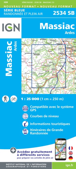
2534SB - MASSIAC ARDES
Editor : IGN
Collection : TOP 25 ET SÉRIE BLEUE
Scale : 1:25 000
13.90€
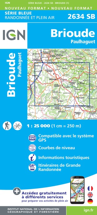
2634SB - BRIOUDE PAULHAGUET
Editor : IGN
Collection : TOP 25 ET SÉRIE BLEUE
Scale : 1:25 000
13.90€

TOP100D43 - HAUTE-LOIRE LE PUY-EN-VELAY BRIOUDE GORGES DE L'ALLIER
Editor : IGN
Collection : TOP 100
Scale : 1:100 000
8.40€

155 AURILLAC SAINT-FLOUR PNR DES VOLCANS D'AUVERGNE
Editor : IGN
Collection : TOP 100
Scale : 1:100 000
8.40€

148 CLERMONT FERRAND SALERS PNR DES VOLCANS D'AUVERGNE
Editor : IGN
Collection : TOP 100
Scale : 1:100 000
8.40€

D42-43 LOIRE HAUTE-LOIRE
Editor : IGN
Collection : CARTES DÉPARTEMENTALES IGN
Scale : 1:150 000
5.90€

D03-63 ALLIER PUY-DE-DÔME
Editor : IGN
Collection : CARTES DÉPARTEMENTALES IGN
Scale : 1:150 000
5.90€

D15-19 CANTAL CORREZE
Editor : IGN
Collection : CARTES DÉPARTEMENTALES IGN
Scale : 1:150 000
5.90€

EUROPE
Editor : IGN
Collection : DÉCOUVERTE DES PAYS DU MONDE IGN
Scale : 1:2 500 000
7.00€
What to visit in Lorlanges
See more suggestionsExplore the cultural heritage of Lorlanges.
See more suggestions


")


Where to eat in Lorlanges
See more suggestionsThe dining spots in Lorlanges have surprises in store.
See more suggestions


Where to sleep in Lorlanges
See more suggestionsDiscover the best lodging options in Lorlanges.
See more suggestions


