Alert
Alerts
The limes


IGN cards


Description
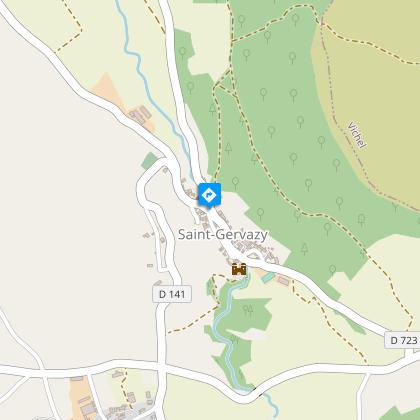
Saint-Gervazy, a village with a blond stone, is not lacking charm with its castle and church housing a black Virgin. The path climbs up on limestone forming a vast promontory with breathtaking views of the Livradois-Forez and the Cézallier.
Starting point - From the starting point, near the signposts, head towards the "13th century castle". Turn right after the riding school. Cross the D35 and continue straight ahead until you reach the first road on the left.
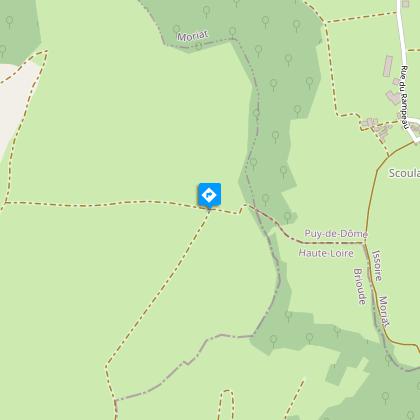
1 - Take it (steep climb). At the T-junction, turn left, and follow the curve up to the plateau. Continue on the right along the edge of the plateau (view of the Lembronese plain, the Cézallier). After the orientation table, stay on the edge of the plateau (fauna-flora information signs as the only reference points) until you reach the explanatory sign of the Grey Lake (swamp area). Cross the fence. Ignore the right path. Further on, take the first road on the left and continue until the next intersection.
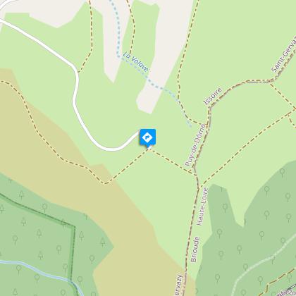
2 - Turn right (view of the Cézallier on the right and the Forez mountains on the left). Continue on this main path. Ignore a path to the right (wetland). At the T-junction, turn right until you reach a crossroads.
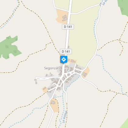
3 - Turn left. Take further to the right the closed angle path (view on the Léotoing castle and panorama) which leads to the village of Segonzat. Cross it until the cross at the exit.
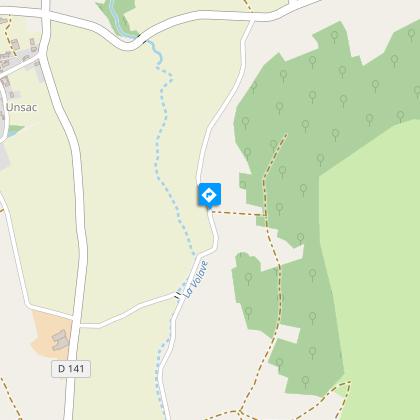
4 - Take the street on the left. Ignore two paths. At the crossing, go opposite and continue on this wide path. At the fork, go down to the right until you reach the hamlet of Scourdois. Turn right after the farm building. Turn left before the stream. At the fork, go up to the right, pass to the right of a dolmen. At the D35, turn right and, again on the right, take the path that leads to Unsac. On the square (cross, fountain and oven), go up the Grand' rue to the left. Pass to the left of the war memorial and go down to the crossroads with the D35. Cross it and take the right track which goes down to Saint-Gervazy (views over the castle). Turn left after the castle to get to the start.
Technical Information
Altimetric profile
Starting point
Steps
Additional information
Environments
In the country
Mountain view
Presence of livestock and guard dogs
Updated by
Conseil départemental du Puy-de-Dôme - 24/11/2025
www.auvergne-destination.com
Report a problem
Open period
From 01/01 to 31/12 daily.
Subject to favorable weather.
Contact
Phone : 04 73 89 15 90
Email : tourisme@capissoire.fr
Website : http://www.issoire-tourisme.com
Animals
Yes
Data author
