Alert
Alerts
The lime of Caure
Description
This route begins in a wood and then crosses a basalt table where you can see wetlands, dry grasslands, varied environments and, depending on the season, ephemeral lakes on Caure lime decorated with rushes and water irises blooming in June. Beautiful Views.
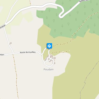
Starting point - From the starting sign, go down the rue des Bergers behind the town hall (the Couze d'Ardes valley). Turn left on Chemin de Poudain and at the grassy flat, go opposite until you reach the road.
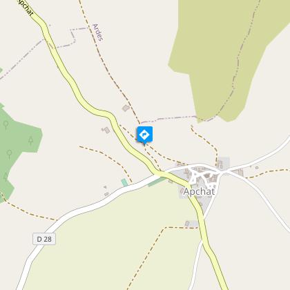
1 - Take it on the left (Ardes and the vallée de Rentières) and at the entrance to Poudain, turn right twice and then go down on the left. At the next crossroads, turn left (beware of another yellow PR, the Apchat circuit that goes down to Ardes). Go up on the plateau by the main path and at the crow's feet, turn left, towards the cross, until Apchat.
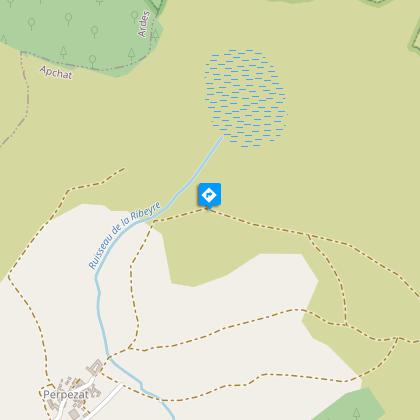
2 - Cross the Place du Puits to go to the church. Go around it to return to the main road (16th century fortified house) and follow the direction of Perpezat (view of the Monts du Livradois). Cross the hamlet, walk along the washhouses and under the stone arch. At the fork, turn left. At the next one (mountain bike variant sign) continue on the left the big ascent on the plateau until the crossroads. (Round trip out of the circuit, 100 m straight ahead to see the temporary lake).
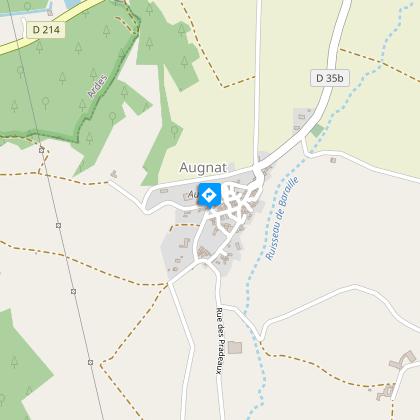
3 - When returning from the off-track, turn right (the signal of Luguet and Cézallier) and at the T-junction, turn left on the stony road. At the crossroads, go down the long and wide path on the left (the Alagnon valley) until you reach the T-junction. Turn right (the red lands and the slopes of Boudes) towards Augnat. At the entrance to the village, ignore the rue du lavoir. Take rue des Pradeaux and on the left, go down rue de l'Ancienne Forge to the Place de l'Église. Go up in front of the church and go around it on the left, rue Sainte-Marthe then on the left, join the place du Cézallier. Join the road and turn left towards the Place de la Mairie.
Technical Information
Altimetric profile
Starting point
Steps
Additional information
Environments
In the country
Presence of livestock and guard dogs
Updated by
Conseil départemental du Puy-de-Dôme - 27/03/2026
www.auvergne-destination.com
Report a problem
Open period
From 01/01 to 31/12 daily.
Subject to favorable weather.
Contact
Phone : 04 73 89 15 90
Email : tourisme@capissoire.fr
Website : http://www.issoire-tourisme.com
Animals
Yes
Data author
