Tours
Activities
Places of interest
Where to eat
Where to sleep
Discover Chassignolles, Haute-Loire, Auvergne: Sites and Stays
Are you in charge of the destination?Nestled in the heart of Haute-Loire in Auvergne, Chassignolles is a haven for nature and culture enthusiasts. During your visit, be sure to explore the rich local heritage, including charming Romanesque churches and medieval remains scattered throughout the area. For outdoor lovers, numerous hiking trails crisscross the surroundings, offering breathtaking sceneries, particularly the GR3 trail that...See more
Walking around Chassignolles
See more suggestionsWalks and discoveries in Chassignolles.
See more suggestions


What to do in Chassignolles
See more suggestionsExciting adventures await you in Chassignolles, book now.
See more suggestions


")


IGN cards
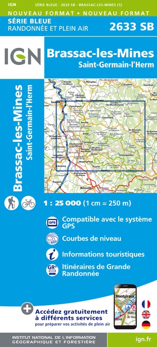
2633SB - BRASSAC-LES-MINES SAINT-GERMAIN-L'HERM
Editor : IGN
Collection : TOP 25 ET SÉRIE BLEUE
Scale : 1:25 000
13.90€
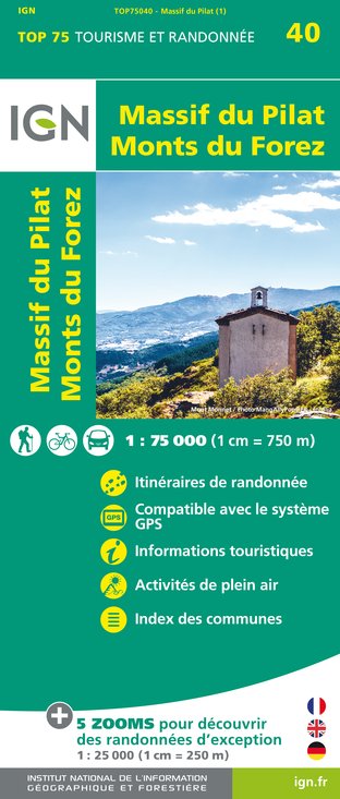
TOP75040 - MASSIF DU PILAT MONTS DU FOREZ
Editor : IGN
Collection : TOP 75
Scale : 1:75 000
9.80€

TOP100D43 - HAUTE-LOIRE LE PUY-EN-VELAY BRIOUDE GORGES DE L'ALLIER
Editor : IGN
Collection : TOP 100
Scale : 1:100 000
8.40€

155 AURILLAC SAINT-FLOUR PNR DES VOLCANS D'AUVERGNE
Editor : IGN
Collection : TOP 100
Scale : 1:100 000
8.40€

D03-63 ALLIER PUY-DE-DÔME
Editor : IGN
Collection : CARTES DÉPARTEMENTALES IGN
Scale : 1:150 000
5.90€

D42-43 LOIRE HAUTE-LOIRE
Editor : IGN
Collection : CARTES DÉPARTEMENTALES IGN
Scale : 1:150 000
5.90€

EUROPE
Editor : IGN
Collection : DÉCOUVERTE DES PAYS DU MONDE IGN
Scale : 1:2 500 000
7.00€
What to visit in Chassignolles
See more suggestionsAttend events organized in Chassignolles.
See more suggestions


Where to eat in Chassignolles
See more suggestionsRestaurants in Chassignolles are ready to welcome you.
See more suggestions


Where to sleep in Chassignolles
See more suggestionsDiscover popular accommodations in Chassignolles.
See more suggestions


