Tours
Activities
Places of interest
Where to eat
Where to sleep

Discover Montricoux: A Blend of Nature and History

Are you in charge of the destination?
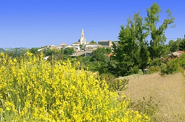
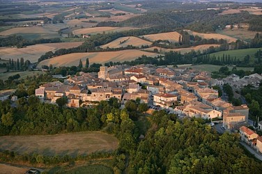
Located in the Tarn-et-Garonne department of Midi-Pyrénées, the town of Montricoux is brimming with activities and tourist sites to explore. Begin your visit with a stroll through the charming narrow streets of the village, admire the medieval architecture of the Tour de Montauban, and delve into history at the Marcel-Lenoir Museum. Nature enthusiasts will be delighted with the hiking trails that ...See more
Walking around Montricoux

See more suggestions
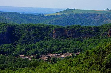
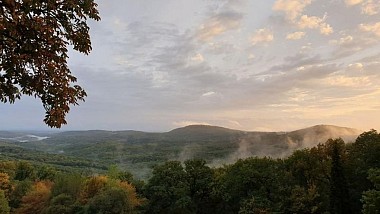
Enjoy outdoor walks in Montricoux.
See more suggestions
Sentier de Mespel
9.9 km

Sentier de Mespel

Close to the Grésigne forest, the Mespel trail follows the shapes of the arid hills and allows you to discover a preserved and wild environment. After leaving the Vère valley, the rock shelters of Larroque surprise the hiker and provide access to the limestone plateau of Mespel with its green oaks, phillyreas, and other pistachio trees. From the trail, there is a view of the medieval village of Puycelsi. Facing the Larroque town hall, climb the stairs, then turn left and immediately right onto the road. Walk for 250 meters. At the intersection, continue straight on the gravel path. At the fork, continue straight on the path that passes through the undergrowth. At the crossroads (archaeological site on the right), climb to the left and continue straight under the trees. Upon reaching the open plateau dotted with oak groves and dry grasslands, continue straight up. Take the path to the left (white-red markings of GR® 46) and head towards Mespel. After 500 meters, you will reach the Notre-Dame des Bois Chapel (20-minute round trip). In the hamlet, cross the road and continue straight along the path that runs alongside the houses. At the crossroads, leave GR® 46 on the right (white and red markings) and take the path to the left (yellow markings). At the fork, turn right onto the winding path, cross the road, and go straight down to reach a viewpoint. After the viewpoint, descend the path (dangerous descent in wet weather) and then turn right to return to Larroque

2 h
5.7 km
Easy
Show
Les hauts de la Maladène
19 km

Les hauts de la Maladène

In the Salvagnacois region, between vineyards and groves, paths run alongside farms made of stone and terracotta. Further up, on the heights of Sivens, they turn into forest trails and lead to magnificent panoramas overlooking the Tescou Valley. From the parking lot at Les Sourigous leisure base, cross the footbridge and continue straight on the grassy path for 150 meters. Turn right onto the road (follow the GR de Pays, marked with yellow and red signs). At the intersection, continue straight on the grassy path between the fields. Turn left onto the road (ignore the yellow and red markings). At La Tounario, turn right, then descend left onto the dirt path. At the intersection, turn right. Take the road to the right to reach Les Barrières. After the water tower, turn left and continue straight on the road. Take the gravel path on the left. At the crossroads, take the trail into the woods on the left. Descend along the fence. At the crossroads, continue straight, then turn left and cross the Tescounet stream. Turn left again. At the intersection, continue straight on the track "GR de Pays" (yellow and red markings). On the road, turn left for about 350 meters. Turn left again. After the bend, descend to the right towards "Les Camalets". Turn right and continue straight. Turn right onto the road for about 50 meters. Descend again to the right onto the path. Take the road to the left. At the crossroads, turn left. Turn right to return to the starting point

4 h
14 km
Easy
Show
Sentier du château de Lagarde
20 km

Sentier du château de Lagarde

Following rivers, fields, and meadows, and crossing streams, the route will lead hikers from the village of Castelnau-de-Montmiral to the Vère-Grésigne leisure center. At Pradel Parking, behind the community hall, follow the ramparts for 200m then descend left on a path. Cross the D964 (caution!) then turn left. Walk for 50m, then take the path on the right. Continue straight to a road intersection. Go left (view of Castelnau-de-Montmiral on the left). Take the forest path on the right that climbs through an oak undergrowth. At the junctions, first with paths, then with a road, continue straight. At the D5, turn right and reach an intersection. Go right towards Magarié, La Vernière, then immediately left on a path. Pass by agricultural buildings on the left. At a path intersection, turn right. At a fork, go right. In front of a house gate in Lagarde, descend right on the path marked by a white road sign with a red border (close the electric fence carefully) (viewpoint over the Vère valley). Walk along the edge of meadows. At the trail intersection, leave GR® 46 (red and white marks) which goes left and take the right path. Follow the fences, then descend right in a hairpin turn. Ignore the first path on the left. Hairpin on the second path to the left. The trail becomes a path through a mixed forest of deciduous and coniferous trees. At the road, turn left. At the intersection, turn right. Pass by Trifyl. Go past it and immediately turn left into the meadow. Enter the leisure center by a path that leads to the lake. Turn right, follow it along. Ignore a path to the left between the lakes. Continue straight along the second lake to reach a chicane. Exit, turn left on the road. Cross the D964 (caution!) and continue straight on a path. At the road, turn left then immediately right on a path. At the next road, turn left again and immediately right on a path. At Lapeyre, follow a path to the left that becomes a road; arrive at an intersection. Turn right (GR® 46). At the intersection with the D4, climb straight ahead on a grassy path, then turn right to return to Castelnau-de-Montmiral.

4 h
13 km
Easy
Show
Sentier des dunes de Maraval aux Touardes
21 km

Sentier des dunes de Maraval aux Touardes

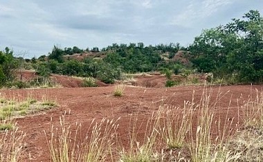
An itinerary combining geology, nature and heritage In front of the starting sign, near the car park, take the path that leads into the woods. You are now entering the clay dunes of the Rougier de Maraval. Please note: you are now entering a Sensitive Natural Area (ENS): stay strictly on the marked path; on either side you are on private property. Turn left towards La Vernière. Pass by the foot of the hamlet and join the D91 departmental road. At this point, there is a shorter 5.34 km option (1 hour 45 minutes) by taking the path on the right. Cross the departmental road and continue straight ahead until you reach the small road. Take it on the right, pass in front of the Mouline and continue for another 400 m. Turn onto the path on the right. Shortly before reaching the road, turn right, go up the path along the edge of the field and join a farm track. Turn left towards Tonnac. At the road, turn left, cross the D33 and follow the path up to the village church. Go around the church on the left, cross the village to the cemetery.  If you are starting from Tonnac: the loop begins here. After the cemetery, turn right and go down to the D33. Turn left onto it for 130m and turn right to go up towards the D91. Cross the main road and take the path through the fields. At the track, turn right. At the next intersection, ignore the path on the right (arrival of the alternative route) and take the path opposite which descends through the woods to the entrance of the Maraval estate. Take the road on the right and return to the starting point.

3 h
8.6 km
Easy
Show
Chemin de Gradille
21 km

Chemin de Gradille

The Gradille Path passes through landscapes of woods (downy oaks and maples) and vineyard slopes. It offers superb panoramic views of the bastide of Castelnau-de-Montmiral: this hike showcases the beauty of the Gaillac region in a single itinerary. Starting from the cross, take the road towards Saint-Jérôme, passing by the agricultural building. At the road junction, turn left and continue for 650 meters. Turn right onto a path. Walk along the edge of the fields, then descend into a wooded area. Emerge onto a road; take it to the right. Pass by Labot and continue straight, skirting vineyards. At Mas de Journès, descend to the left for about 100 meters then, before a bend, take the grassy path to the right. Cross the Tescou stream. Leave a path on the right and, about 15 meters further, take the earthen steps on the right. Climb along the left side of the field, then enter another wooded area. The path continues straight out of the woods and emerges onto a road. Turn sharply and take a path through fields and vineyards (stay on the path near Palis). At a road, descend to the right. At the next intersection, ascend to the right on a road for about 500 meters. Turn left onto a gravel path towards Pommier-Long and reach a path intersection. Leave Pommier-Long to the left and continue straight on a dirt path towards the woods of Gradille. Reach a crossroads. The Gradille Chapel is to the left. Continue straight under the pine trees. Walk through the undergrowth and descend along a furrow. Cross a small bridge over the Tescou, then cross a road and continue straight ahead. Turn right, crossing a ditch. Climb straight, skirting a field (beware of the beehives to the right of the path). At Marevaysse, circle around a house on the left, then go right and right again. At a road, under the trees, turn left until an intersection. Ascend with a sharp left turn. In front of a house, take a gravel path to the right. Continue straight on this path to return to the starting point

3 h
8.9 km
Very easy
Show
From the Cérou to the Aveyron
22 km

From the Cérou to the Aveyron

From the Plateaux du Combal and des Graves, the path opens up to the beautiful views of the Cérou and Aveyron valleys.The rather dry highlands contrast, especially in summer, with the freshness in the valleys provided by the two rivers.Heritage also makes an appearance along the path with the small Saint-Projet Church in Larroque (12th-15th centuries), which features a simple and rustic beauty. From in front of the Town Hall, take the small road to the right for 250 meters. Then cross the Cérou River via the metal footbridge and turn right. Continue along the river towards La Borie. Cross the railway tracks, turn right, and take the path that climbs straight ahead towards the hill. You can pause to enjoy the beautiful viewpoint over the Cérou Valley. Then resume on the path. Pass by the mobile home and, 250 meters later, turn left to take the small trail winding through the woods. Follow this trail to emerge above the "castle" of Ratayrens, an old fortified house with original restoration. Turn left and follow the zigzagging road through the hamlet. Then turn left again and follow the Aveyron River. Pass by the Saint-Projet Church in Larroque (be sure to take a look inside) until reaching Saulieu-Haut. Turn left into the hamlet of Saulieu-Haut and ascend to the ridge that overlooks the two valleys (great viewpoint). Turn right and descend the Chemin de Caudecoste to return to La Borie. Enjoy the view of the Milhars Castle. Head back towards Milhars along the road that follows the railway tracks. At Prunelle, cross the railway line to find the road and the metal footbridge taken on the way out. Continue until you reach your starting point, Place de la Mairie (Town Hall).

3 h
10 km
Easy
Show
Ombrages et paysages
23 km

Ombrages et paysages

Between woodlands and vineyard slopes, this long hike offers intriguing contrasts and beautiful views of the Tarn Valley. Part of the route traverses the Sivens Forest. With your back to the church, take the road to the left for 450 meters, passing the PR "Les Coteaux de Lisle," and continue on the road until you reach a fork. Turn right towards Le Clavet, then before the farm, take a left onto a grassy path along the edge of the woods and descend. Cross the departmental road D999 (Caution), and follow it a few meters to the left on the secure path under the plane trees until you reach the poultry farm. Turn right towards the stream, cross the footbridge, turn right towards the chalets, and in the woods, take the small left trail to ascend towards the Sivens Forest. Join the Sivens Discovery Trail. At the road, turn left, pass in front of the Maison Forestière (picnic area), and 100 meters later, take the path (barrier for vehicles). Follow the charcoal burner, then follow the Combe del Loup. At the fork, turn right. On the gravel path, turn left, then 100 meters later, turn right, descend into the valley, and climb back up to the road (viewpoint of Puycelsi). Continue left on the Oustrières road for 1 km, then turn right towards the chapel of the same name (picnic tables). Descend the path, then at the bottom, at the intersection, turn right, go 50 meters before turning left to climb through the forest back to the road. Turn left. At 100 meters, at the fork, turn right onto the Pradies road. Descend for 2 km. Before the Moulin de la Salle Basse, turn left; the road turns into a path for 1 km along the Tescou. Once back on the road, turn right at the former Moulin de Cassagnol. Cross the departmental road D999 again (Caution). Continue between the hedges, then along the field to climb up to Combalade. Continue towards Long Pech. At the shed, turn right to follow the vineyards, then immediately left onto the dead-end of Corbières. At 40 meters, take the grassy path that descends and climbs up to the D14. Cross it and continue straight to arrive at Lapeyrière (chapel to the right, 50 meters away). Turn left, then 150 meters later, turn right to descend on a path bordered by fields and ditches. Climb left by the road. Pass behind the house, then cross a grove and return to the starting road. Finally, turn right towards Saint-Étienne de Vionan Church.

6 h
21 km
Easy
Show

What to do in Montricoux

See more suggestions
Plan a perfect day in Montricoux with our bookable activities.
See more suggestions
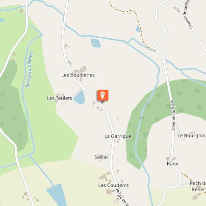
Mas de Perry cottage
13 km

Mas de Perry cottage

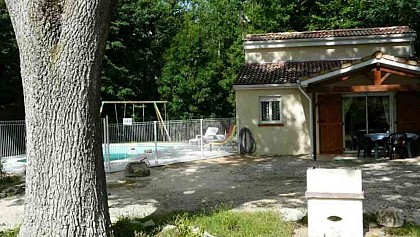
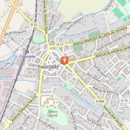
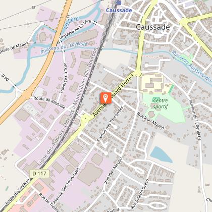
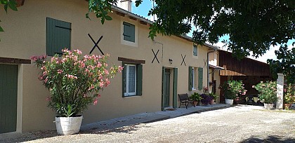
In a clearing, on an enclosed and wooded plot of 1,500 m2, discover this 45 m2 functional vacation cottage which is made for 4 people. It benefits from the 3 keys by Clévacances and prefectural classification. It is located on the edge of CD 17 connecting Caussade to Puylaroque in Tarn and Garonne and although in the countryside, is close to all local shops and large areas within a department 5 km. It includes a living room with kitchen area and seating area, a bedroom on the ground floor (1 140 bed) and a bedroom upstairs (2 beds in 80). Very well placed near Caussade, shops and shops and shops Of all access routes, it can also constitute a stop for all professionals who move in the region. The outside, an wooded and fenced land is available as well as a private swimming pool (dimensions 3.75 m x 7 m, depth 1m10) in safety standards. Close to Cahors and Montauban The Midi Quercy region in the Tarn et Garonne is still away from the great tourist frequentations: come and discover the Gorges de l'Aveyron, central point in the region and our City of Caussade, rich in landscapes of character . At the "will of your desires" you can admire several "major sites" of Midi Pyrénées: Albi, strings on Ciel, (81) Cahors, St Cirq Lapopie (46), Najac (12), St Antonin (82), or else Hiking on marked trails, exercising you in canoeing in the Gorges de l'Aveyron, testing the "ski cable" of Lac de Monteils, or simply relaxing in the private swimming pool when returning from excursion. Multiple original corners "at the end of the world", typical fairs and markets still unknown and so authentic and without forgetting the gastronomy and the wine of Quercy.

7 Route De Puylaroque 82300 Caussade
Book from 120 EURBook
Show

What to visit in Montricoux

See more suggestions
Shop in the boutiques of Montricoux.
See more suggestions
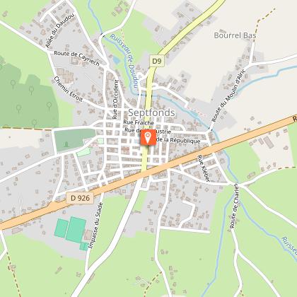
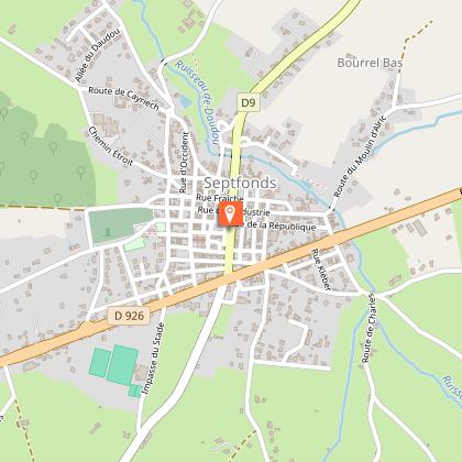
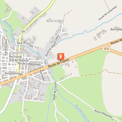
Septfonds megaliths
11 km

Septfonds megaliths

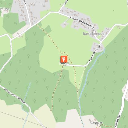
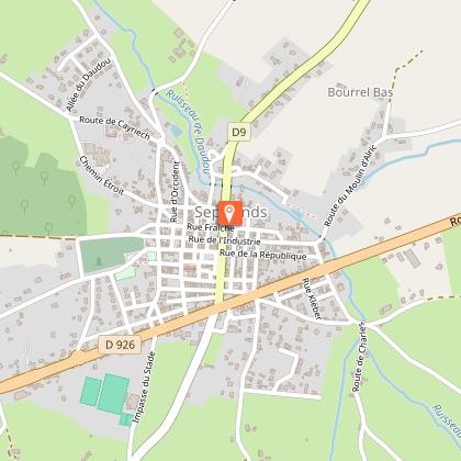
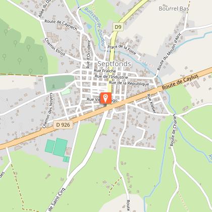
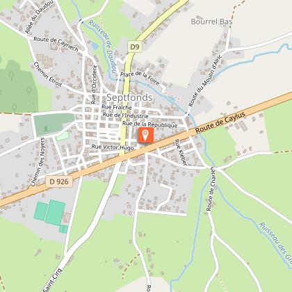
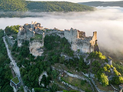
Une quinzaine de dolmens sont répertoriés à Septfonds. 4 sont encore visibles. 1) The Giant's Tomb: a simple dolmen still partially enclosed in a tumulus with a diameter of 18m. The dolmen was classified as a historical monument in 1889. The chamber is about 3.30m long and between 1m and 1.20m wide. Its height is 1.10m. The chamber is currently covered by two slabs. Originally, it was a single slab that rested only on part of the top of the orthostats. This slab was 5m long, 2.20m wide and 0.50m thick. Its weight was estimated at 12 tonnes. All the slabs are made of local limestone. Access: From Septfonds, take the D76 towards St-Cirq. After the beginning of the forest, take the path on the left towards Clavel. In Clavel, turn left and at the fork in the road turn right. After the Spanish cemetery, continue on the path and take the first path on the right, then the next one on the right. Then take the first path on the left (tennis court of the dolmen) and the first on the right. Then follow the path at the back of the tennis court (on the right). 2) The Finelle Dolmen (Chemin de Finelle): consists of two large orthostats and a bedside slab covered with a roof slab. The chamber is 2.60m long and 1.20m wide. Its height is 1.16m. The largest orthostate is 3.60m long. Access: The dolmen of Finelle is on the right of the path. 3) The Dolmen of Peyrelevade (Chemin des dolmens): partially buried underground. A large slab 3m wide and 3.70m long covers a chamber 2.90m long and 1.60m wide. The chamber is delimited by two orthostats and a bedside slab on the west side. As with the other dolmens in the region, it is oriented east-west (open to the east). Access: The dolmen of Peyrelevade is on the left of the dolmen path. 4) The Menhir of Bartalbenque (Chemin de Bartalbenque): visible in a private property. Access: The menhir is on the left of the Bartalbenque path.

82240 Septfonds
Show
La Mounière, House of Memoirs
12 km

La Mounière, House of Memoirs

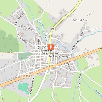
In the heart of the former bastide of Septfonds, dive into three local histories that have shaped great History: the hat-making industry, the life of Dieudonné Costes, a pioneer of aviation, and the memories of the Judes camp (1939–1945). At La Mounière, discover: - The straw hat and the birth of a thriving industry It was in Septfonds, at the end of the 19th century, that a prosperous industry developed: straw hat making. At its peak, 7 million hats were produced each year, spreading the village’s reputation far beyond the region. - Aviation through the life of Dieudonné Costes A native of the area, he achieved in 1930, together with Maurice Bellonte, the first nonstop flight from Paris to New York aboard The Question Mark. An extraordinary human and technical adventure that left a lasting mark on aviation history. - 1939–1945: the Judes camp and policies for the reception of foreigners deemed undesirable The camp memorial and other places of remembrance in the village extend the reflection and the visit. At La Mounière, the visit is an experience: – a scenographic exhibition space – places of remembrance, including the camp memorial and its permanent exhibition and the spanish cemetery – themed walking routes through the village Exhibitions, lectures, guided tours, concerts, workshops… the program sets the rhythm of the year and turns every visit into a lively and enriching experience. Three memories, one shared invitation: understanding the past to shed light on the present. So, are you ready to be surprised?

15 Rue Des Déportés 82240 Septfonds
Show

Where to eat in Montricoux

See more suggestions
Establishments in Montricoux offer dishes for all tastes.
See more suggestions

Where to sleep in Montricoux

See more suggestions
Discover popular accommodations in Montricoux.
See more suggestions
Camping Le Clos Lalande
608 m

Camping Le Clos Lalande

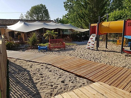
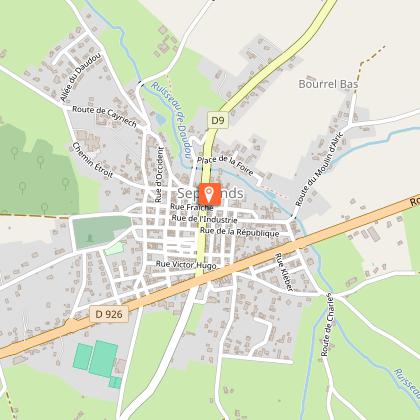
Chloé and Nicolas welcome you to their small campsite in Montricoux. The routine and daily constraints, come and recharge your batteries and share good times with family or friends. Priority is tranquility for a relaxing stay Want to rest, to leave aside the daily routine, to let go, to ask yourself calm in a natural environment. By choosing to spend a few days in our campsite, you favor calm and tranquility. We welcome you in good humor and benevolence so that you feel at home. The holidays are essential to recharge the batteries! That it’s good to get on a break and take the time ... Time to dream, laugh, feel good, time for yourself, for your family or friends. Chloé and Nicolas welcome you to their small campsite with 60 locations, on just over 3ha, in Montricoux. Far from the routine and daily constraints, come and recharge your batteries and share good times with family or friends. Priority is tranquility, a homecoming for a disconnected and relaxing stay. Our Camping Le Clos Lalande, located in the south of France in the Tarn et Garonne, at the gates of the Gorges de l'Aveyron, offers you a very pleasant, wooded and flowery setting, in a family and friendly atmosphere, ideal for families With young children. We promote exchange and sharing for everyone's pleasure. We offer different types of rentals for a comfortable holiday, in a quiet environment. Place your suitcases and relax in one of our accommodation: wooden lodge huts on stilts, mobile homes, chalets, tithomes or unusual camps. For camping fans, install your tent, caravan or motorhome canvas on our spacious locations. Come swim in our heated swimming pool. At the time of snack The bar/snack awaits you for a refreshment on the shaded terrace, while watching your children having fun in the playground. Take advantage of the pleasures of river fishing with direct access, but secure for children, at the Aveyron river. Many activities are also available on camping: pétanque, ping-pong, multisports, karts and pedal buggy.

359 Route de Bioule 82800 Montricoux
Show
Caution!
We have no information on the difficulty of this circuit. You may encounter some surprises along the way. Before you go, please feel free to inquire more and take all necessary precautions. Have a good trip! 🌳🥾