Alert
Alerts
From the Cérou to the Aveyron
Description
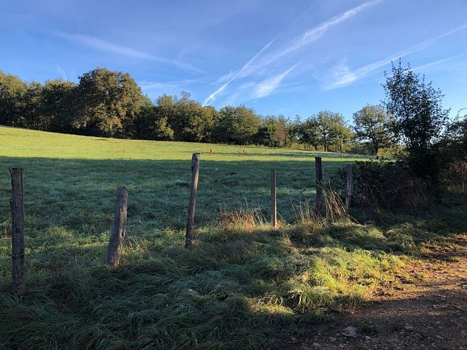
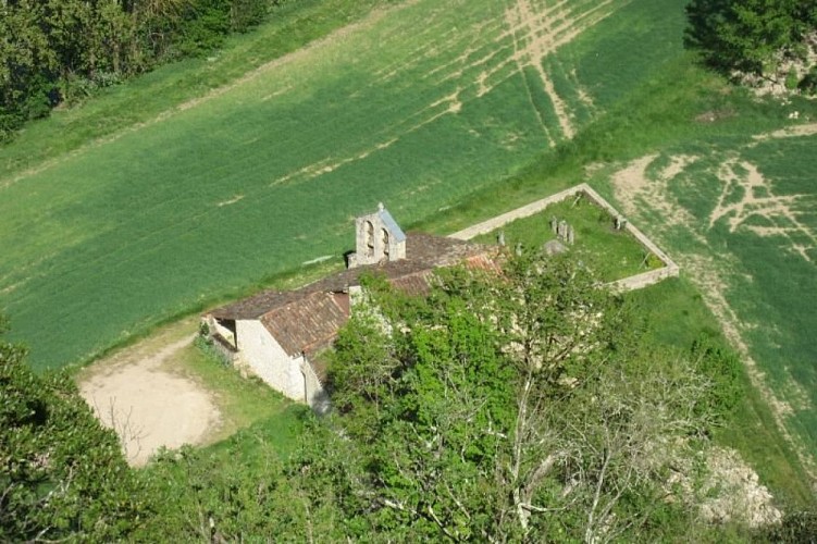
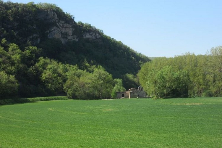
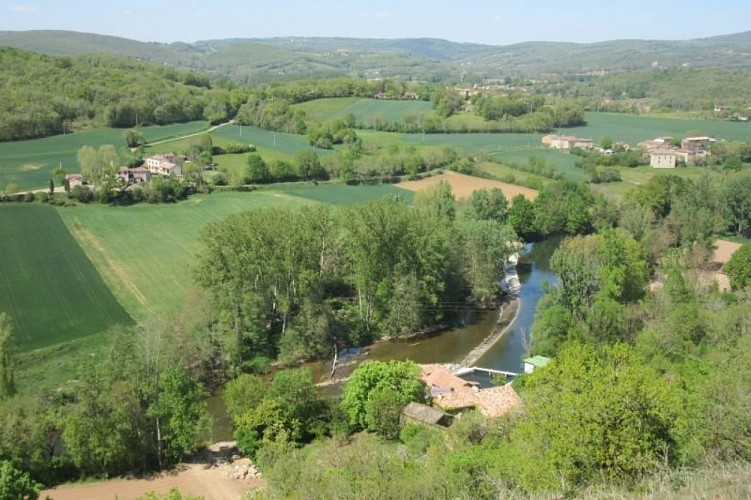
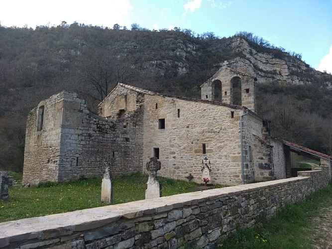
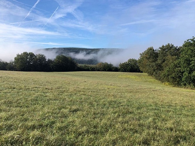
From the Plateaux du Combal and des Graves, the path opens up to the beautiful views of the Cérou and Aveyron valleys.The rather dry highlands contrast, especially in summer, with the freshness in the valleys provided by the two rivers.Heritage also makes an appearance along the path with the small Saint-Projet Church in Larroque (12th-15th centuries), which features a simple and rustic beauty.
From in front of the Town Hall, take the small road to the right for 250 meters. Then cross the Cérou River via the metal footbridge and turn right. Continue along the river towards La Borie.
Cross the railway tracks, turn right, and take the path that climbs straight ahead towards the hill.
You can pause to enjoy the beautiful viewpoint over the Cérou Valley. Then resume on the path. Pass by the mobile home and, 250 meters later, turn left to take the small trail winding through the woods.
Follow this trail to emerge above the "castle" of Ratayrens, an old fortified house with original restoration. Turn left and follow the zigzagging road through the hamlet. Then turn left again and follow the Aveyron River.
Pass by the Saint-Projet Church in Larroque (be sure to take a look inside) until reaching Saulieu-Haut.
Turn left into the hamlet of Saulieu-Haut and ascend to the ridge that overlooks the two valleys (great viewpoint). Turn right and descend the Chemin de Caudecoste to return to La Borie. Enjoy the view of the Milhars Castle.
Head back towards Milhars along the road that follows the railway tracks. At Prunelle, cross the railway line to find the road and the metal footbridge taken on the way out. Continue until you reach your starting point, Place de la Mairie (Town Hall).
Technical Information
Altimetric profile
Starting point
Additional information
Public transport
By bus: route 707 (Albi - Cordes - Vindrac) - stop in the main street of Milhars, near the town hall.One journey only during the week, early in the morning from Milhars to Albi and late in the afternoon from Albi to Milhars.By train: TER Toulouse-Aurillac line - Lexos SNCF station 3 km away or Cordes-Vindrac SNCF station - Approximately 5 journeys per day.
Labellisé FFRandonnée® Tarn
Cet itinéraire est labellisé FFRandonnée®. Il fait partie du réseau tarnais de chemins validé et reconnu par la Fédération Française de la Randonnée et les partenaires du Tarn comme de qualité supérieure.
Advised parking
Car park at the Salle des Fêtes in Milhars, a few metres from the starting point.
Access
15 km northwest of Cordes-sur-Ciel via the D600.15 km southeast of Saint-Antonin-Noble-Val via the D115 and D600.14 km east of Vaour via the D15 and D9.12 km west of Saint-Martin-Laguépie via the D9 and D600
Arrival
Same place as the start
Ambiance
Ideal for those who wish to experience a preserved environment while staying close to a village.Before or after the hike, visit the charming village of Milhars, which features interesting rural heritage (pigeon houses, oven, washhouse) and a system of streets organized in a "spiral" ascending towards the castle.Taking advantage of the humidity from the Cérou River, the willow grove near the community hall offers a unique stop. Every February, it hosts the Fête de l'Osier, where the art of basket weaving is celebrated.The welcoming small communal restaurant-grocery store, which opened in 2022 along the departmental road, allows visitors to enjoy a meal or prepare a picnic (check opening days and hours).
Departure
Town Hall Square, Milhars
Data author
