Alert
Alerts
Les hauts de la Maladène
Description
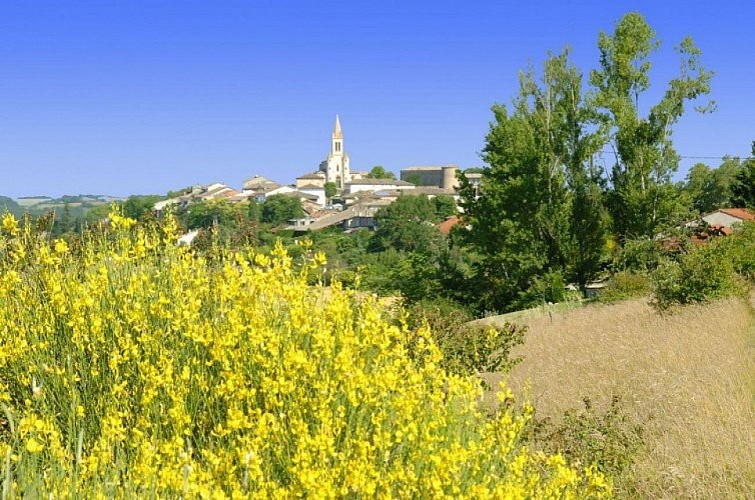
In the Salvagnacois region, between vineyards and groves, paths run alongside farms made of stone and terracotta. Further up, on the heights of Sivens, they turn into forest trails and lead to magnificent panoramas overlooking the Tescou Valley.
From the parking lot at Les Sourigous leisure base, cross the footbridge and continue straight on the grassy path for 150 meters.
Turn right onto the road (follow the GR de Pays, marked with yellow and red signs). At the intersection, continue straight on the grassy path between the fields.
Turn left onto the road (ignore the yellow and red markings). At La Tounario, turn right, then descend left onto the dirt path. At the intersection, turn right.
Take the road to the right to reach Les Barrières. After the water tower, turn left and continue straight on the road. Take the gravel path on the left.
At the crossroads, take the trail into the woods on the left. Descend along the fence.
At the crossroads, continue straight, then turn left and cross the Tescounet stream.
Turn left again. At the intersection, continue straight on the track "GR de Pays" (yellow and red markings). On the road, turn left for about 350 meters. Turn left again. After the bend, descend to the right towards "Les Camalets". Turn right and continue straight. Turn right onto the road for about 50 meters.
Descend again to the right onto the path. Take the road to the left. At the crossroads, turn left.
Turn right to return to the starting point
Technical Information
Altimetric profile
Starting point
Additional information
Public transport
By bus: line 721 (Albi - Montauban) - St Pierre stop 500m from the starting point.More information on liO-occitanie
Is in the midst of the park
The national park is an unrestricted natural area but subjected to regulations which must be known by all visitors.
Labellisé FFRandonnée® Tarn
Cet itinéraire est labellisé FFRandonnée®. Il fait partie du réseau tarnais de chemins validé et reconnu par la Fédération Française de la Randonnée et les partenaires du Tarn comme de qualité supérieure.
Advised parking
Car park at the Sourigous leisure centre, on the D922, at the foot of Salvagnac.
Access
20 km west of Gaillac via the D999. 12 km north of Rabastens via the D2. Do not go all the way to Salvagnac, but stay on the D999 towards the Les Sourigous leisure base.
Arrival
Same place as the start
Ambiance
Salvagnac, an ancient fortified village, offers several discoveries: the castle towers (14th-15th centuries), the Notre-Dame church with its treasury of sacred art including a processional cross from 1514, and frescoes by Nicolaï Greschny (mid-20th century).In this region of cultivated lands, preference is given to traditional cereals, especially wheat. Grown on the hillsides of the Tarn, it provides millers with pure flour used in making "Lo Cantél"; a recipe based on artisanal practices resulting in a soft bread with a crispy crust and a creamy, melting interior.
Departure
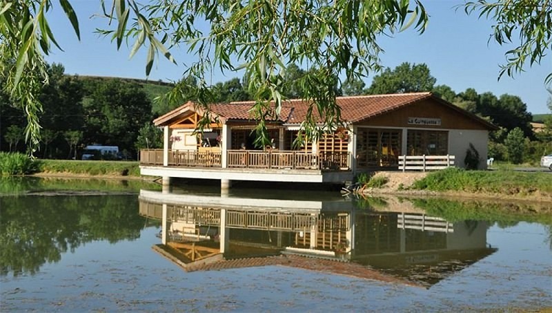
Base de loisirs les Sourigous, at the foot of Salvagnac
Data author
