Alert
Alerts
Le sentier de la Baronne
Description
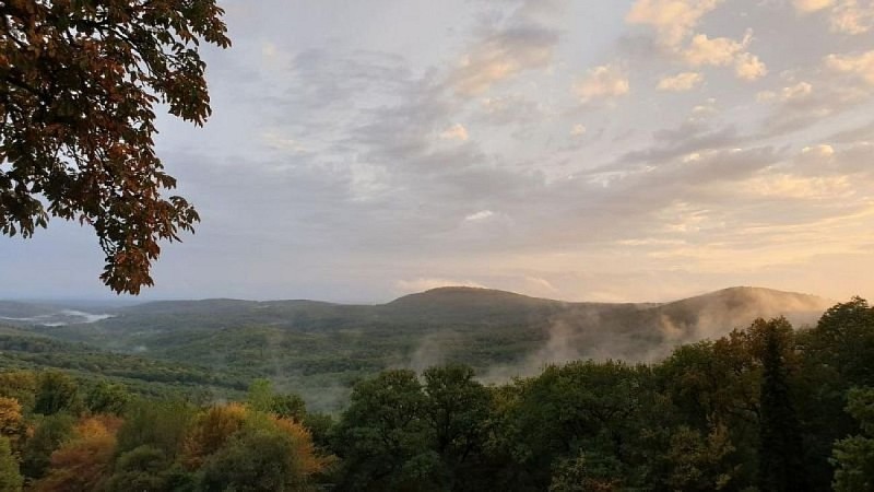
In the shade of the century-old oak trees, the Grésigne state forest will add a special charm to your hike. Enjoy the beautiful combinations of colors and its coolness in case of hot weather.
Facing the sign at the Ourtigas parking lot, take the gravel forest trail to the right. At the first crossroads, ignore the D 170 on the right and go straight towards Saint-Beauzile and Cordes. Follow the trail for 1.2 km until you reach a sharp left turn. You can reach the Sainte-Cécile du Cayrou church by taking the road to the right (see dashed line on the map; 3.5 km round trip).
Climb left on the forest road of La Baronne for 4.5 km. It passes near Peyro Signado and Lac Rond.
At the intersection of the trails, continue to the left. Pass the barrier and descend on the forest road of Mailhac for 3.5 km to reach a crossroads.
Take the forest road of l'Ourtigas to the right for 800 m until an intersection.
Turn left towards the oppidum of Saint-Clément and pass near the oppidum through the undergrowth.
At the fork, descend straight for 470 m, then take the gravel forest trail to the left. It passes by the source of Petit-Vichy (located on the left, near the small parking area) and ends on the road coming from the forest house. Follow it to the left to return to the starting point.
Technical Information
Altimetric profile
Starting point
Additional information
Advice
You are strongly advised not to go into the Grésigne forest during the hunting season: Hunting authorised every day until 11/09. Then on Wednesdays, Saturdays and Sundays from 10/09 to 29/02.
Labellisé FFRandonnée® Tarn
Cet itinéraire est labellisé FFRandonnée®. Il fait partie du réseau tarnais de chemins validé et reconnu par la Fédération Française de la Randonnée et les partenaires du Tarn comme de qualité supérieure.
Advised parking
Parking de l'Ourtigas/ Rô Oriental
Access
8 km from Castelnau de Montmiral, from the Vère Grésigne base, take the small D87 road between the Verdier road (D1) and the Puycelsi road (D964) until you reach the Grande Baraque forest house (Maison Forestière de la Grande Baraque). Then, turn right onto the Barraqué Basse road until you reach the Rô Oriental parking.
Arrival
Same place as the start
Ambiance
The Grésigne state forest is the largest in Tarn and one of the biggest oak forests in Europe. It ranks third among the richest forests in Europe for insects, with 2,400 distinct families, following the Fontainebleau massif and the Białowieża reserve in Poland. This entomological richness also led to the forest being classified as a Natura 2000 site in 2007. Special management measures are applied in the forest to preserve this uniqueness, such as conserving old trees and increasing the amount of dead wood left on the ground.
Departure
Parking of Ourtigas/ Rô Oriental, Castelnau de Montmiral
Data author
