Alert
Alerts
Sentier de Mespel
Description
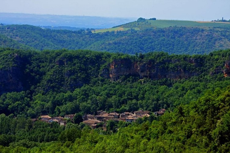
Close to the Grésigne forest, the Mespel trail follows the shapes of the arid hills and allows you to discover a preserved and wild environment. After leaving the Vère valley, the rock shelters of Larroque surprise the hiker and provide access to the limestone plateau of Mespel with its green oaks, phillyreas, and other pistachio trees. From the trail, there is a view of the medieval village of Puycelsi.
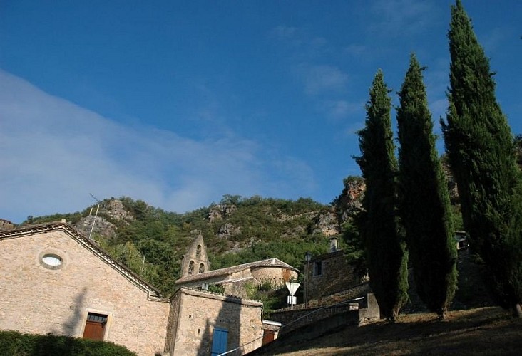
Facing the Larroque town hall, climb the stairs, then turn left and immediately right onto the road. Walk for 250 meters.
At the intersection, continue straight on the gravel path. At the fork, continue straight on the path that passes through the undergrowth.
At the crossroads (archaeological site on the right), climb to the left and continue straight under the trees. Upon reaching the open plateau dotted with oak groves and dry grasslands, continue straight up.
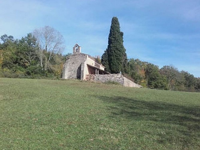
Take the path to the left (white-red markings of GR® 46) and head towards Mespel. After 500 meters, you will reach the Notre-Dame des Bois Chapel (20-minute round trip). In the hamlet, cross the road and continue straight along the path that runs alongside the houses.
At the crossroads, leave GR® 46 on the right (white and red markings) and take the path to the left (yellow markings).
At the fork, turn right onto the winding path, cross the road, and go straight down to reach a viewpoint.
After the viewpoint, descend the path (dangerous descent in wet weather) and then turn right to return to Larroque
Technical Information
Altimetric profile
Starting point
Additional information
Is in the midst of the park
The national park is an unrestricted natural area but subjected to regulations which must be known by all visitors.
Labellisé FFRandonnée® Tarn
Cet itinéraire est labellisé FFRandonnée®. Il fait partie du réseau tarnais de chemins validé et reconnu par la Fédération Française de la Randonnée et les partenaires du Tarn comme de qualité supérieure.
Advised parking
Car park at the entrance to the village (on the Puycelsi side) or along the D964, near the town hall.
Access
50 km west of Albi via Gaillac, take the direction of Castelnau de Montmiral (D964) and then continue towards Puycelsi on this road.15 km northwest of Penne via the D115 and D964 (road that skirts the Grésigne forest).4 km west of Puycelsi via the D964
Arrival
Same place as the start
Ambiance
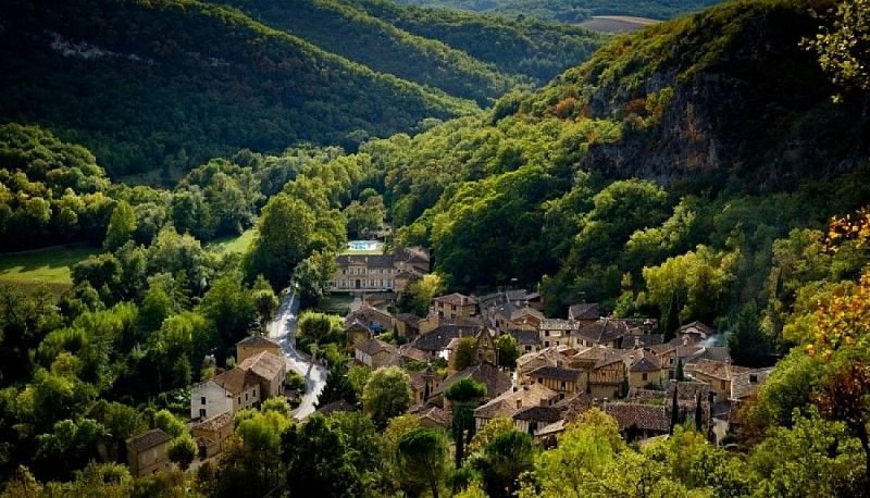
In a green setting, on the riverbank, at the foot of its pink limestone cliff, dotted with natural caves, Larroque offers a shaded and picturesque stop. The hiker follows the path that the ancient Puycelsians (inhabitants of Puycelsi) used to visit the Roucanels (inhabitants of Larroque).There are viewpoints over the Grésigne state forest and the 13th-century Notre-Dame des Bois chapel (a 20-minute round trip from Mespel). Legend has it that twice the materials intended for its construction in the hamlet were found at the current construction site.
Departure
Town Hall of Larroque
Data author
