Alert
Alerts
Ombrages et paysages
Description
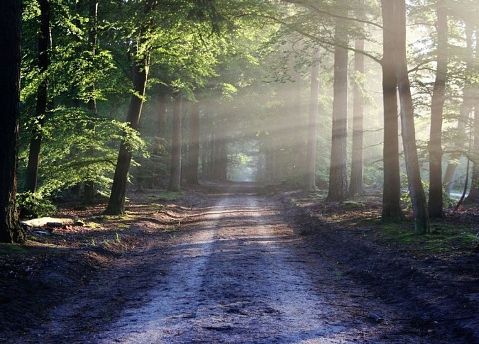
Between woodlands and vineyard slopes, this long hike offers intriguing contrasts and beautiful views of the Tarn Valley. Part of the route traverses the Sivens Forest.
With your back to the church, take the road to the left for 450 meters, passing the PR "Les Coteaux de Lisle," and continue on the road until you reach a fork. Turn right towards Le Clavet, then before the farm, take a left onto a grassy path along the edge of the woods and descend.
Cross the departmental road D999 (Caution), and follow it a few meters to the left on the secure path under the plane trees until you reach the poultry farm. Turn right towards the stream, cross the footbridge, turn right towards the chalets, and in the woods, take the small left trail to ascend towards the Sivens Forest.
Join the Sivens Discovery Trail. At the road, turn left, pass in front of the Maison Forestière (picnic area), and 100 meters later, take the path (barrier for vehicles). Follow the charcoal burner, then follow the Combe del Loup. At the fork, turn right. On the gravel path, turn left, then 100 meters later, turn right, descend into the valley, and climb back up to the road (viewpoint of Puycelsi).
Continue left on the Oustrières road for 1 km, then turn right towards the chapel of the same name (picnic tables). Descend the path, then at the bottom, at the intersection, turn right, go 50 meters before turning left to climb through the forest back to the road.
Turn left. At 100 meters, at the fork, turn right onto the Pradies road. Descend for 2 km. Before the Moulin de la Salle Basse, turn left; the road turns into a path for 1 km along the Tescou. Once back on the road, turn right at the former Moulin de Cassagnol.
Cross the departmental road D999 again (Caution). Continue between the hedges, then along the field to climb up to Combalade. Continue towards Long Pech. At the shed, turn right to follow the vineyards, then immediately left onto the dead-end of Corbières. At 40 meters, take the grassy path that descends and climbs up to the D14. Cross it and continue straight to arrive at Lapeyrière (chapel to the right, 50 meters away).
Turn left, then 150 meters later, turn right to descend on a path bordered by fields and ditches. Climb left by the road. Pass behind the house, then cross a grove and return to the starting road. Finally, turn right towards Saint-Étienne de Vionan Church.
Technical Information
Altimetric profile
Starting point
Additional information
Advice
⚠️ VIGILANCE MARS 2026 : entre le point 1 et 2 au lieu dit "Le Clavet", le talus est descendu, passage dans le champs possible, attention au fossé.
Labellisé FFRandonnée® Tarn
Cet itinéraire est labellisé FFRandonnée®. Il fait partie du réseau tarnais de chemins validé et reconnu par la Fédération Française de la Randonnée et les partenaires du Tarn comme de qualité supérieure.
Advised parking
Car park before the church of Saint-Etienne de Vionan: park between the cross and the signpost indicating the start of the walk
Access
9.5 km from the center of Lisle-sur-Tarn via the D14 towards Salvagnac, then turn right towards Saint-Étienne de Vionan.
Arrival
Same place as the start
Ambiance
This 600-hectare departmental forest once belonged to the Compagnie des Houillères et Chemins de Fer de Carmaux. The wood was used to support the galleries of the Carmaux mines, a major mining site in the Tarn.Look up and admire the oak, chestnut, beech, and hornbeam trees that still make up the forest today. Some conifers were introduced to enhance the diversity of species.Due to its rich biodiversity, the Sivens massif is classified as a Sensitive Natural Area. Hunting is only permitted for the management of deer and wild boar populations. The ONF (National Forestry Office), which manages this forest, advises staying on the trails and not entering the forest stands.Your starting point is in front of Saint-Étienne de Vionan Church. Mentioned in 1646, the church was destroyed during the Revolution and rebuilt in the 19th century.Make a stop at the Maison Départementale de Sivens (between points 3 and 4): the area is peaceful and well-equipped, with picnic tables, temporary exhibitions, and playgrounds for children. You'll also find the starting points for three small hiking trails, interpretation tablets, and an orienteering course.
Departure
Saint-Étienne de Vionan Church
Data author
