Tours
Activities
Places of interest
Where to eat
Where to sleep
Chateau de la grange fort: explore Les pradeaux and Puy-de-Dôme
Are you the owner?Welcome to the majestic region of Les Pradeaux, nestled in the heart of Puy-de-Dôme, Auvergne! Whether you're seeking peaceful nature or rich cultural discoveries, Chateau de la Grange Fort is your perfect starting point.
Dive into the Comté State Forest, a natural sanctuary offering hiking trails for all levels. History enthusiasts will love the Panoramique des Dômes, which takes you by cog rai...See more
Dive into the Comté State Forest, a natural sanctuary offering hiking trails for all levels. History enthusiasts will love the Panoramique des Dômes, which takes you by cog rai...See more
Walking around CHATEAU DE LA GRANGE FORT
See more suggestionsEnjoy pleasant walks in CHATEAU DE LA GRANGE FORT.
See more suggestions


What to do in CHATEAU DE LA GRANGE FORT
See more suggestionsExperience unique moments with the bookable activities in CHATEAU DE LA GRANGE FORT.
See more suggestions")


IGN cards
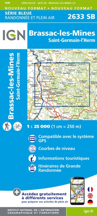
2633SB - BRASSAC-LES-MINES SAINT-GERMAIN-L'HERM
Editor : IGN
Collection : TOP 25 ET SÉRIE BLEUE
Scale : 1:25 000
13.90€

TOP100D43 - HAUTE-LOIRE LE PUY-EN-VELAY BRIOUDE GORGES DE L'ALLIER
Editor : IGN
Collection : TOP 100
Scale : 1:100 000
8.40€

148 CLERMONT FERRAND SALERS PNR DES VOLCANS D'AUVERGNE
Editor : IGN
Collection : TOP 100
Scale : 1:100 000
8.40€

D42-43 LOIRE HAUTE-LOIRE
Editor : IGN
Collection : CARTES DÉPARTEMENTALES IGN
Scale : 1:150 000
5.90€

D03-63 ALLIER PUY-DE-DÔME
Editor : IGN
Collection : CARTES DÉPARTEMENTALES IGN
Scale : 1:150 000
5.90€

D15-19 CANTAL CORREZE
Editor : IGN
Collection : CARTES DÉPARTEMENTALES IGN
Scale : 1:150 000
5.90€

EUROPE
Editor : IGN
Collection : DÉCOUVERTE DES PAYS DU MONDE IGN
Scale : 1:2 500 000
7.00€
What to visit in CHATEAU DE LA GRANGE FORT
See more suggestionsDiscover the nightlife of CHATEAU DE LA GRANGE FORT.
See more suggestions


Where to eat in CHATEAU DE LA GRANGE FORT
See more suggestionsThe dining spots in CHATEAU DE LA GRANGE FORT have surprises in store.
See more suggestions


Where to sleep in CHATEAU DE LA GRANGE FORT
See more suggestionsStay at one of the many hotels in CHATEAU DE LA GRANGE FORT.
See more suggestions


