Tours
Activities
Places of interest
Where to eat
Where to sleep
Discover Saint-saturnin at the Naturist Camping in Auvergne
Are you the owner?Welcome to the page dedicated to your stay at the naturist camping site in Saint-saturnin, in the magnificent region of Puy-de-Dôme, Auvergne. Nestled in the heart of lush and preserved nature, this paradise offers a myriad of activities and sights to explore.
Discover the charming village of Saint-saturnin, classified among the Most Beautiful Villages of France. Stroll through its picturesque st...See more
Discover the charming village of Saint-saturnin, classified among the Most Beautiful Villages of France. Stroll through its picturesque st...See more
Walking around CAMPING NATURISTE
See more suggestionsExplore the natural surroundings of CAMPING NATURISTE.
See more suggestions


What to do in CAMPING NATURISTE
See more suggestionsActivities for all tastes await you in CAMPING NATURISTE, book them today.
See more suggestions


")


IGN cards
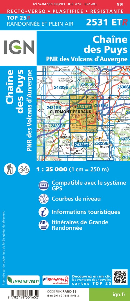
2531ETR - CHAÎNE DES PUYS RESISTANTE PNR DES VOLCANS D'AUVERGNE
Editor : IGN
Collection : TOP 25 RÉSISTANTE
Scale : 1:25 000
17.20€

2531ET - CHAINE DES PUYS PNR DES VOLCANS D'AUVERGNE
Editor : IGN
Collection : TOP 25 ET SÉRIE BLEUE
Scale : 1:25 000
13.90€
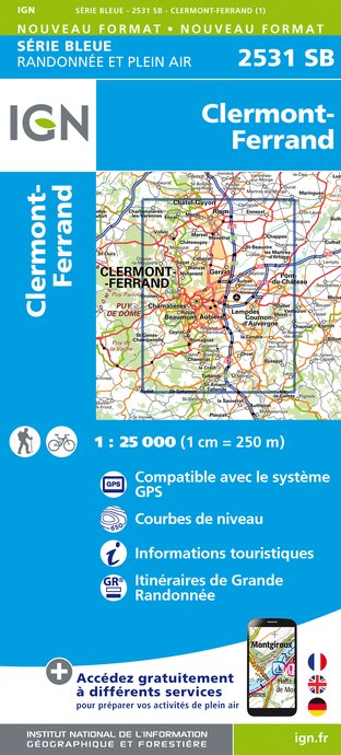
2531SB - CLERMONT-FERRAND
Editor : IGN
Collection : TOP 25 ET SÉRIE BLEUE
Scale : 1:25 000
13.90€

2532SB - ISSOIRE VEYRE-MONTON
Editor : IGN
Collection : TOP 25 ET SÉRIE BLEUE
Scale : 1:25 000
13.90€

TOP75015 - CHAINE DES PUYS - MASSIF DU SANCY
Editor : IGN
Collection : TOP 75
Scale : 1:75 000
9.80€

148 CLERMONT FERRAND SALERS PNR DES VOLCANS D'AUVERGNE
Editor : IGN
Collection : TOP 100
Scale : 1:100 000
8.40€

D15-19 CANTAL CORREZE
Editor : IGN
Collection : CARTES DÉPARTEMENTALES IGN
Scale : 1:150 000
5.90€

D42-43 LOIRE HAUTE-LOIRE
Editor : IGN
Collection : CARTES DÉPARTEMENTALES IGN
Scale : 1:150 000
5.90€

D03-63 ALLIER PUY-DE-DÔME
Editor : IGN
Collection : CARTES DÉPARTEMENTALES IGN
Scale : 1:150 000
5.90€

EUROPE
Editor : IGN
Collection : DÉCOUVERTE DES PAYS DU MONDE IGN
Scale : 1:2 500 000
7.00€
What to visit in CAMPING NATURISTE
See more suggestionsExperience the annual festivals of CAMPING NATURISTE.
See more suggestions


Where to eat in CAMPING NATURISTE
See more suggestionsThe dining spots in CAMPING NATURISTE have surprises in store.
See more suggestions


Where to sleep in CAMPING NATURISTE
See more suggestionsExplore accommodation options in CAMPING NATURISTE.
See more suggestions


