Tours
Activities
Places of interest
Where to eat
Where to sleep
Discover Beauregard-l'eveque, Puy-de-Dôme, Auvergne
Are you in charge of the destination?Welcome to Beauregard-l'eveque, nestled in the heart of Puy-de-Dôme in Auvergne. This charming village offers a plethora of activities and sites to explore. Start your visit with a stroll through its picturesque streets, where traditional Auvergne architecture will captivate you. Nature enthusiasts will find numerous hiking trails surrounding Beauregard-l'eveque, providing breathtaking views of th...See more
Walking around Beauregard-l'eveque
See more suggestionsHikes for all levels in Beauregard-l'eveque.
See more suggestions


What to do in Beauregard-l'eveque
See more suggestionsOrganize your days in Beauregard-l'eveque with bookable activities for the whole family.
See more suggestions


")


IGN cards
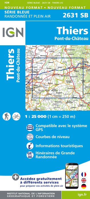
2631SB - THIERS PONT-DU-CHÂTEAU
Editor : IGN
Collection : TOP 25 ET SÉRIE BLEUE
Scale : 1:25 000
13.90€

148 CLERMONT FERRAND SALERS PNR DES VOLCANS D'AUVERGNE
Editor : IGN
Collection : TOP 100
Scale : 1:100 000
8.40€

D42-43 LOIRE HAUTE-LOIRE
Editor : IGN
Collection : CARTES DÉPARTEMENTALES IGN
Scale : 1:150 000
5.90€

D03-63 ALLIER PUY-DE-DÔME
Editor : IGN
Collection : CARTES DÉPARTEMENTALES IGN
Scale : 1:150 000
5.90€

D15-19 CANTAL CORREZE
Editor : IGN
Collection : CARTES DÉPARTEMENTALES IGN
Scale : 1:150 000
5.90€

EUROPE
Editor : IGN
Collection : DÉCOUVERTE DES PAYS DU MONDE IGN
Scale : 1:2 500 000
7.00€
What to visit in Beauregard-l'eveque
See more suggestionsTake a boat tour around Beauregard-l'eveque.
See more suggestions


Where to eat in Beauregard-l'eveque
See more suggestionsThe restaurants of Beauregard-l'eveque await you.
See more suggestions


Where to sleep in Beauregard-l'eveque
See more suggestionsEnjoy your stay with accommodations in Beauregard-l'eveque.
See more suggestions


