Tours
Activities
Places of interest
Where to eat
Where to sleep
Discover Saint-julien-de-coppel, Puy-de-Dôme, Auvergne
Are you in charge of the destination?Located in the heart of Puy-de-Dôme in Auvergne, Saint-julien-de-coppel serves as the perfect gateway to a region brimming with cultural and natural treasures. Outdoor enthusiasts will love the numerous hiking trails departing from the village, especially those traversing the Auvergne Volcanoes Regional Nature Park. History buffs can delve into local heritage landmarks like the Romanesque church o...See more
Walking around Saint-julien-de-coppel
See more suggestionsAccessible hikes near Saint-julien-de-coppel.
See more suggestions


What to do in Saint-julien-de-coppel
See more suggestionsThe best experiences in Saint-julien-de-coppel are just a click away, book now.
See more suggestions")


IGN cards
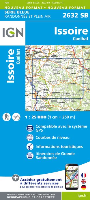
2632SB - ISSOIRE CUNLHAT
Editor : IGN
Collection : TOP 25 ET SÉRIE BLEUE
Scale : 1:25 000
13.90€

148 CLERMONT FERRAND SALERS PNR DES VOLCANS D'AUVERGNE
Editor : IGN
Collection : TOP 100
Scale : 1:100 000
8.40€

D42-43 LOIRE HAUTE-LOIRE
Editor : IGN
Collection : CARTES DÉPARTEMENTALES IGN
Scale : 1:150 000
5.90€

D03-63 ALLIER PUY-DE-DÔME
Editor : IGN
Collection : CARTES DÉPARTEMENTALES IGN
Scale : 1:150 000
5.90€

D15-19 CANTAL CORREZE
Editor : IGN
Collection : CARTES DÉPARTEMENTALES IGN
Scale : 1:150 000
5.90€

EUROPE
Editor : IGN
Collection : DÉCOUVERTE DES PAYS DU MONDE IGN
Scale : 1:2 500 000
7.00€
What to visit in Saint-julien-de-coppel
See more suggestionsTaste the culinary specialties of Saint-julien-de-coppel.
See more suggestions


Where to eat in Saint-julien-de-coppel
See more suggestionsDiscover the local flavors of Saint-julien-de-coppel.
See more suggestions


Where to sleep in Saint-julien-de-coppel
See more suggestionsDiscover the best lodging options in Saint-julien-de-coppel.
See more suggestions


