Tours
Activities
Places of interest
Where to eat
Where to sleep
AU VAL DORE: Discover the wonders of La bourboule
Are you the owner?Welcome to La bourboule, a jewel in the Puy-de-Dôme, Auvergne! Our locale is a prime destination for lovers of nature, thermal baths, and history. Explore the majestic mountains of the Massif Central, perfect for family hikes. The La Bourboule thermal baths invite you to total relaxation with their beneficial waters. For thrill-seekers, Parc Fenestre is a green haven with attractions for all ages....See more


")


What to do in AU VAL DORE
See more suggestionsEnjoy unforgettable moments in AU VAL DORE by booking activities for everyone.
See more suggestions


IGN cards
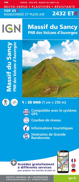
2432ETR - MASSIF DU SANCY RESISTANTE PNR DES VOLCANS D'AUVERGNE
Editor : IGN
Collection : TOP 25 RÉSISTANTE
Scale : 1:25 000
17.20€

2433SB - LA BOURBOULE BOURG-LASTIC
Editor : IGN
Collection : TOP 25 ET SÉRIE BLEUE
Scale : 1:25 000
13.90€
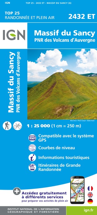
2432ET - MASSIF DU SANCY PNR DES VOLCANS D'AUVERGNE
Editor : IGN
Collection : TOP 25 ET SÉRIE BLEUE
Scale : 1:25 000
13.90€

TOP75015 - CHAINE DES PUYS - MASSIF DU SANCY
Editor : IGN
Collection : TOP 75
Scale : 1:75 000
9.80€

148 CLERMONT FERRAND SALERS PNR DES VOLCANS D'AUVERGNE
Editor : IGN
Collection : TOP 100
Scale : 1:100 000
8.40€

D03-63 ALLIER PUY-DE-DÔME
Editor : IGN
Collection : CARTES DÉPARTEMENTALES IGN
Scale : 1:150 000
5.90€

D15-19 CANTAL CORREZE
Editor : IGN
Collection : CARTES DÉPARTEMENTALES IGN
Scale : 1:150 000
5.90€

D23-87 CREUSE HAUTE-VIENNE
Editor : IGN
Collection : CARTES DÉPARTEMENTALES IGN
Scale : 1:150 000
5.90€

EUROPE
Editor : IGN
Collection : DÉCOUVERTE DES PAYS DU MONDE IGN
Scale : 1:2 500 000
7.00€
What to visit in AU VAL DORE
See more suggestionsShop in the boutiques of AU VAL DORE.
See more suggestions


Where to eat in AU VAL DORE
See more suggestionsRestaurants in AU VAL DORE offer a variety of cuisines.
See more suggestions


Where to sleep in AU VAL DORE
See more suggestionsStay at one of the many hotels in AU VAL DORE.
See more suggestions


