Alert
Alerts
Discovery Route in 21 Stages of La Châtre

Description
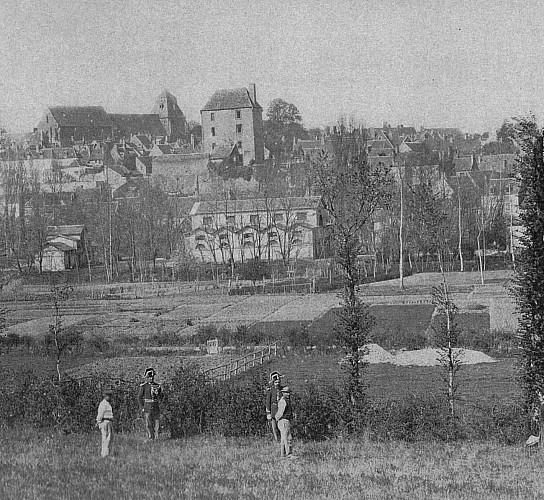
A former Gallic or Roman camp (castra), and then probably the site of a feudal castle; the origins of the town are still much debated.
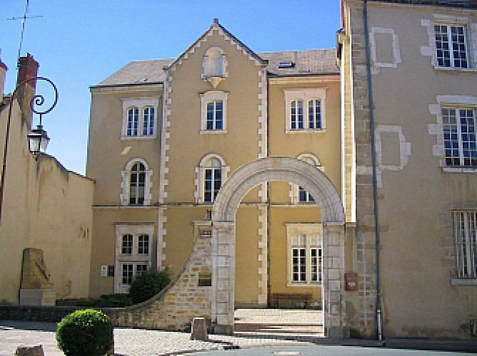
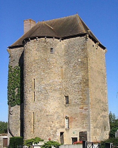
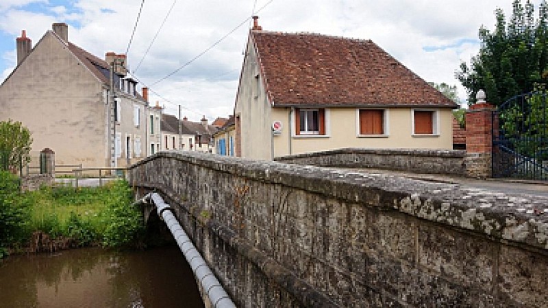
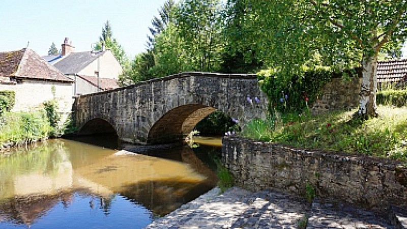
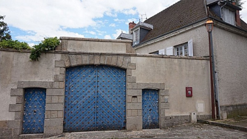
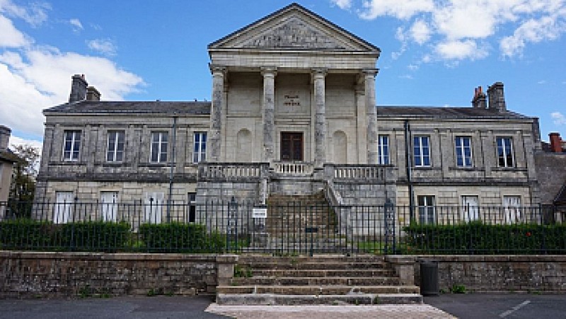
By the 11th century the Lord of La Châtre is finally identified: Ebbes VI, youngest son of Raoul de Déols, Lord of Châteauroux. Cistercian monks settle along the river Indre and initiate economic development with the construction of mills. 13th to 15th century: the town becomes the property of the Chauvigny family who, in c.1424, have a seignorial castle built within the stout walls of the town. Only the keep remains today.
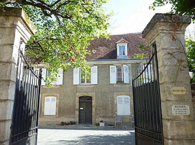
The Charter of 1463 gives more freedom to the burghers. In the 15th century, at the end of the Hundred Years War, the town develops significantly.
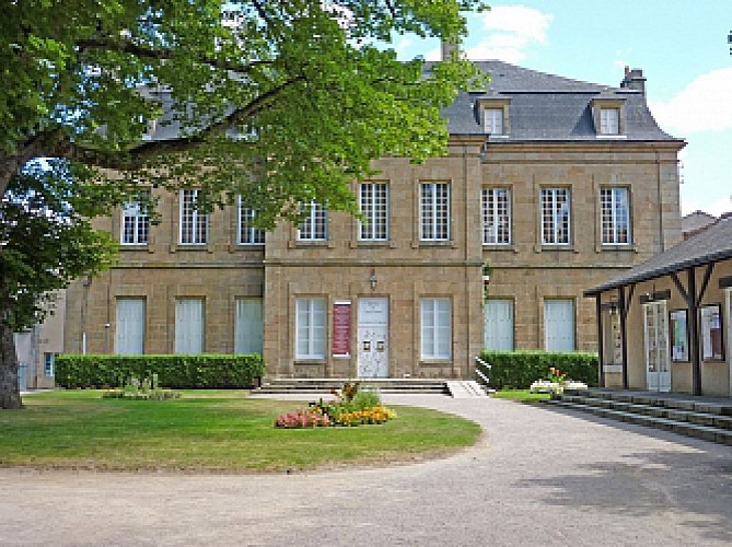
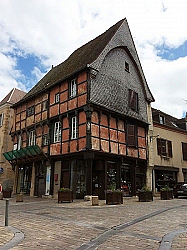
Situated between the estates of the King of France and former English provinces, it becomes a centre trade, facilitated by the presence of the court at Bourges. Beautiful mansions are built.
Early 18th century: at the boundary of low and hugh salt tax zones, La Châtre becomes a garrison town and magistrates build private residences.
1788: the Council decides to tear down the remaining gates of the town, whose walls were already three quarters demolished.
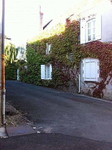
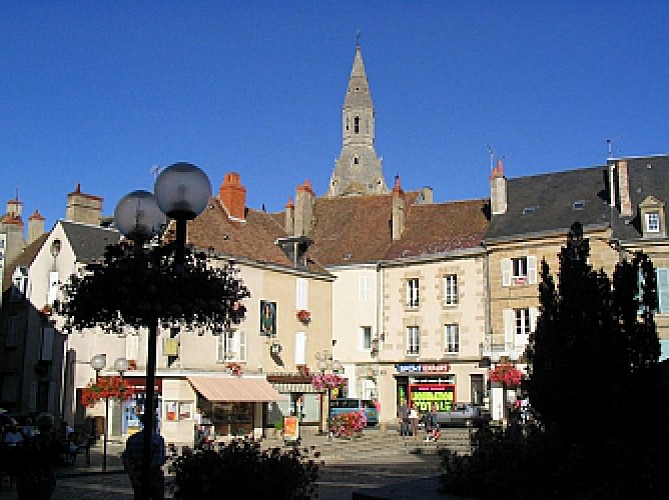
19th century: prominent leather industry. Located in a cattle-breeding region watered by the river Indre, the town, by the Middle Ages, already possessed numerous tanneries, and a district is still so named today. Marked by the presence of George Sand the novelist, who used to come to La Châtre to meet her friends, even if she confessed to deploring the conformance of the town. In the sixties, La Châtre is transformed, as complete suburbs are established around the od town. Today, La Châtre is a dynamic sous-préfecture with more than 4700 inhabitants.
Technical Information
Altimetric profile
Starting point
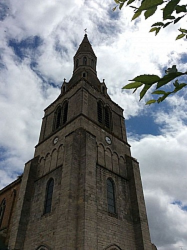
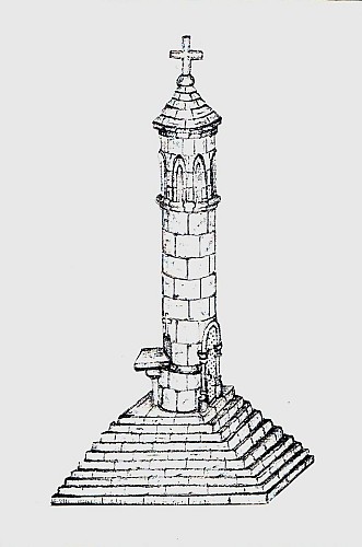
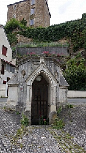
Points of interest
Data author
