Tours
Activities
Places of interest
Where to eat
Where to sleep
Discover the charms of Fontan, Alpes-Maritimes, Provence-Alpes-Côte d'Azur
Are you in charge of the destination?Nestled in the heart of the Alpes-Maritimes, Fontan in Provence-Alpes-Côte d'Azur is a hidden gem waiting to be discovered. Don’t miss the fantastic hiking trails winding through the surrounding mountains during your visit. The Mercantour National Park, with its rich wildlife and flora, is a must-see for nature lovers. History enthusiasts will appreciate the medieval remains and charming churches ...See more


What to do in Fontan
See more suggestionsExciting adventures await you in Fontan, book now.
See more suggestions


IGN cards

3741ET - VALLÉE DE LA BÉVÉRA VALLÉE DES PAILLONS PARC NATIONAL DU MERCANTOUR
Editor : IGN
Collection : TOP 25 ET SÉRIE BLEUE
Scale : 1:25 000
13.90€
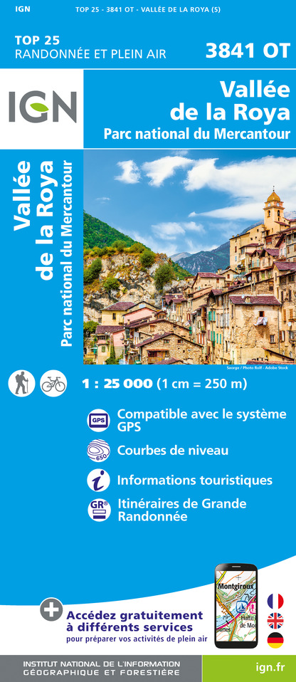
3841OT - VALLÉE DE LA ROYA PARC NATIONAL DU MERCANTOUR
Editor : IGN
Collection : TOP 25 ET SÉRIE BLEUE
Scale : 1:25 000
13.90€

TOP75010 - MERCANTOUR
Editor : IGN
Collection : TOP 75
Scale : 1:75 000
9.80€

TOP100D06 - ALPES-MARITIMES NICE CÔTE D'AZUR PARC NATIONAL DU MERCANTOUR PNR DES PRÉALPES D'AZUR
Editor : IGN
Collection : TOP 100
Scale : 1:100 000
8.40€

D06 ALPES-MARITIMES
Editor : IGN
Collection : CARTES DÉPARTEMENTALES IGN
Scale : 1:150 000
5.90€

NR16 PROVENCE-ALPES-CÔTE D'AZUR
Editor : IGN
Collection : CARTES RÉGIONALES IGN
Scale : 1:250 000
6.80€

EUROPE
Editor : IGN
Collection : DÉCOUVERTE DES PAYS DU MONDE IGN
Scale : 1:2 500 000
7.00€


Where to eat in Fontan
See more suggestionsRestaurants in Fontan are ready to welcome you.
See more suggestions


")
")


