Tours
Activities
Places of interest
Where to eat
Where to sleep
Discover Domaine de Clarat in Lafarre, Ardèche
Are you the owner?Welcome to Domaine de Clarat, your ideal gateway to exploring Lafarre in Ardèche, Rhône-Alpes. This charming region offers a wealth of outdoor activities and stunning sites to discover.
Take time to visit Mont Gerbier de Jonc, a mountain that is the source of the Loire, one of France’s longest rivers. Nature enthusiasts will love hiking through the breathtaking landscapes of the Ardèche Gorges. ...See more
Take time to visit Mont Gerbier de Jonc, a mountain that is the source of the Loire, one of France’s longest rivers. Nature enthusiasts will love hiking through the breathtaking landscapes of the Ardèche Gorges. ...See more
Walking around DOMAINE DE CLARAT
See more suggestionsWalks and discoveries in DOMAINE DE CLARAT.
See more suggestions


What to do in DOMAINE DE CLARAT
See more suggestionsExplore DOMAINE DE CLARAT through its many bookable activities.
See more suggestions


IGN cards
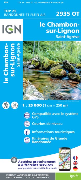
2935OT - LE CHAMBON-SUR-LIGNON SAINT-AGREVE
Editor : IGN
Collection : TOP 25 ET SÉRIE BLEUE
Scale : 1:25 000
13.90€

TOP100D07 - ARDÈCHE PRIVAS AUBENAS VALLON-PONT-D'ARC PNR DES MONTS D'ARDÈCHE
Editor : IGN
Collection : TOP 100
Scale : 1:100 000
8.40€

TOP100D43 - HAUTE-LOIRE LE PUY-EN-VELAY BRIOUDE GORGES DE L'ALLIER
Editor : IGN
Collection : TOP 100
Scale : 1:100 000
8.40€

D07-26 ARDÈCHE DRÔME
Editor : IGN
Collection : CARTES DÉPARTEMENTALES IGN
Scale : 1:150 000
5.90€

D42-43 LOIRE HAUTE-LOIRE
Editor : IGN
Collection : CARTES DÉPARTEMENTALES IGN
Scale : 1:150 000
5.90€

NR16 PROVENCE-ALPES-CÔTE D'AZUR
Editor : IGN
Collection : CARTES RÉGIONALES IGN
Scale : 1:250 000
6.80€

EUROPE
Editor : IGN
Collection : DÉCOUVERTE DES PAYS DU MONDE IGN
Scale : 1:2 500 000
7.00€
What to visit in DOMAINE DE CLARAT
See more suggestionsEngage in outdoor activities in DOMAINE DE CLARAT.
See more suggestions


Where to eat in DOMAINE DE CLARAT
See more suggestionsEstablishments in DOMAINE DE CLARAT offer dishes for all tastes.
See more suggestions


Where to sleep in DOMAINE DE CLARAT
See more suggestionsStay at one of the many hotels in DOMAINE DE CLARAT.
See more suggestions


