Alert
Alerts
Le Col du Marchand
Description
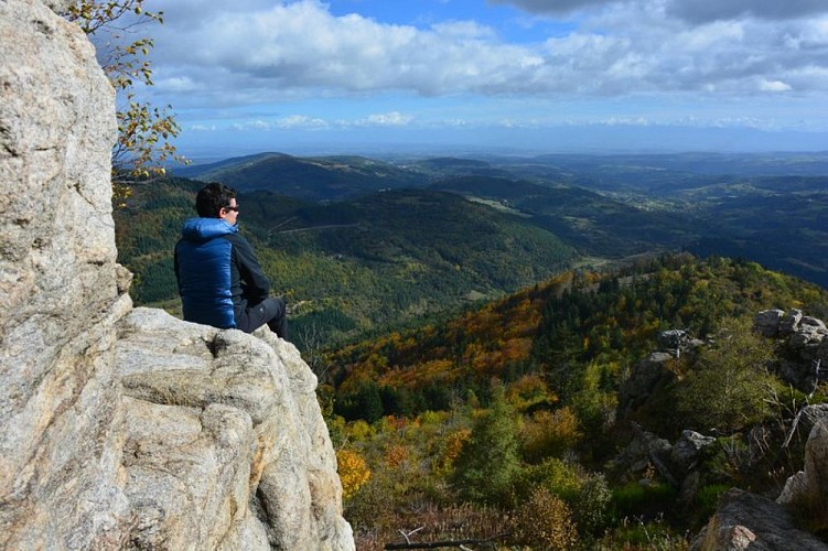
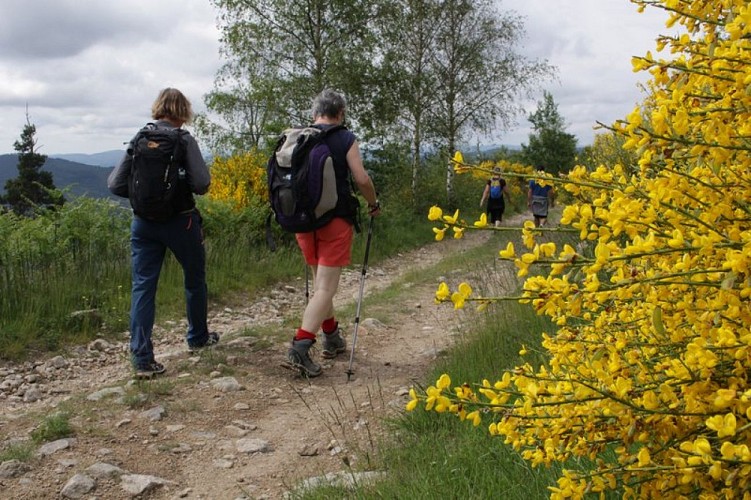
A pleasant ramble, remarkable for its beautiful views.
Climb the small road for 50m going towards the Col du Marchand. 1 - Pailharès - 693m Follow Le Clos de Pierre Martin 2.1 km Col du Marchand 4.3 km Follow the concrete lane becoming tarmac further on. Go past the house and into the forest of chestnut trees on a dirt track. After the river, head uphill coming out of the woods on a pretty stone-paved path leading you to a road. Turn left and go as far as the following house (Fontay) and take the grass path adjacent to it. The path leads to a road where you turn right. 2 - Le Clos de Pierre Martin - 739 m Follow Col du Marchand 2.2 km Lalouvesc 6.4 km Follow the path edged with old poplar trees. Go through a chestnut grove until you get to a junction above some houses les Granges. 3 - Les Granges - Follow Col du Marchand 1.7 km Lalouvesc 5.9 km Continue ahead on the main path. Pass a dell until you come to a fork 220m further on. Turn right downhill, jump over a small stream and bear left heading uphill on a windy path through thicket. This comes out onto a track that takes you up to the main road. Turn left and head for Col du Marchand. 4 - Col du Marchand - 903 m Follow Le Serre des Vernes 1.9 km Pailharès 5.7 km A steep dirt track on the left will take you to a wider path further up. Turn left immediately where the path takes you to higher ground in the forest. When you reach a lane turn left. The lane then goes down towards Les Vernes.5 - Le Serre des Vernes - 1080 m Follow Pailharès 3.8 km Go along past la maison des Vernes, then a wide dell to a fork. Turn left downhill leaving the main path behind you a little further on, for a grassy path to your left. Cross the stream and continue ahead on a stone-paved path to the hamlet Baud. Go through, then down on a small lane in the shade. Further down take a path below the road that brings you back onto the same road further on. Go past the building Nectardechois and onto another road and finally continue ahead back to the village.
Technical Information
Altimetric profile
Starting point
Additional information
Advised parking
Village stopover area
Access
Follow the D273 from Saint Félicien to Pailharès
Arrival
Pailharès - village stopover area
Departure
Pailharès - village stopover area
