Alert
Alerts
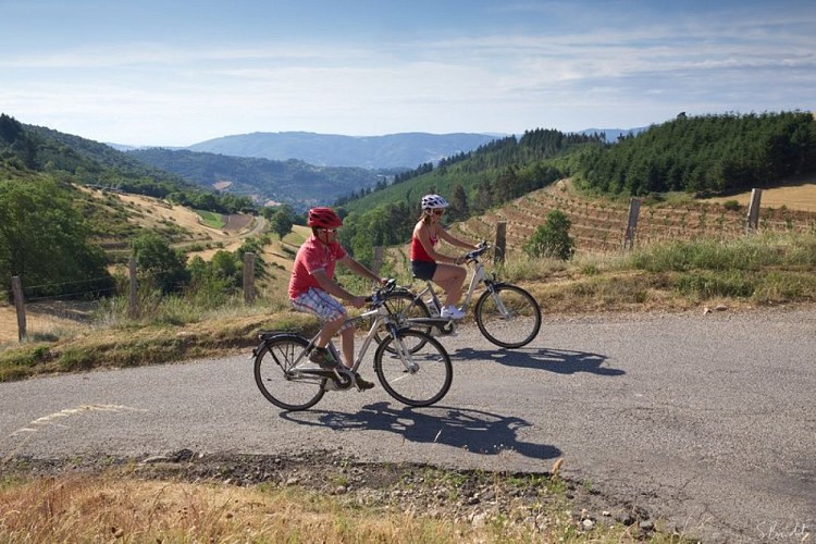
Mountain pass route
Description
With its numerous mountain passes this trail is far from being a poor second to the well-known Ardèchoise cycling event. Perfect for a long break on an e-bike. Make sure you have enough battery.
Follow the small road signed up col du Marchand just right of the one going to col du Buisson and continue to col du Marchand. 1. 5,4 km Arriving at col du Marchand follow signs to Satillieu and continue to the village. 2. 14 km In the village turn right onto the D115 signed up Préaux. 3. 19 km Continue straight on on the D115 leaving the signs to Préaux on your left behind you. 4. 21 km Head towards Vaudevant keeping on the D115 to the village. 5. 26 km In the village turn right onto the small road, go past the church and as you leave the village, up towards col du Gibet past the cemetery. No directions given there. 6. 27,7 km At the T junction “Col du Gibet” turn right and join the main road, following it on the left side, down to Saint Félicien.7. 27,9 km At the main road, turn left and go down to Saint-Félicien. 8. 31,6 km Follow directions to Nozières and Pailharès. 9. 36 km Go 4km, turn left onto a small road signed up Royer, le Flachet, Priolat, Les prés, Taverne, La Côte Gomaure, L’Homme, Le Bosc and Le Moulinet. 10. 39 km Carry straight on ignoring the signs on each side. Go past Le Moulinet then straight on to the col de Fontfreyde. At the following crossroads, turn right and straight on towards Fontfreyde and Villeneuve. 11. 41,6 km At the junction after Fontfreyde turn right. At the pass go straight on to Nozières. 12. 46,5 km In Nozières turn right at the church corner, onto the main road signed up Lalouvesc and continue to Col du Buisson. 13. 52,5 km Once at the pass turn onto the small road C6 leading to Molières and go as far as the village. 14. 56,2 km As you enter the village turn right signed up Le Doux. 15. 57,6 km Go past Tête and carry straight on, then right at the following crossroads onto the CD336 towards Lafarre and go as far as the village. 16. 62,5 km From the village, go straight up the main road, through the village continue straight on. 17. 66,7 km At the crossroads where the D236 and D336 join up turn left signed up Lalouvesc. 18. 68,7 km Go over the Col du Faux then turn right towards Saint-Félicien then downhill to the Col du Marchand. 1. 70,7 km At the Col du Marchand turn right towards Pailharès and return on the same road where you started from.
Technical Information
Altimetric profile
Starting point
Additional information
Advice
Montée raide entre 10 et 11
Advised parking
Fountain square
Access
De Saint Félicien, prendre la D273 jusqu'à Pailharès.
Arrival
Pailharès – Fountain square
Departure
Pailharès – Fountain square
