Alert
Alerts
Col du Buisson
Description
A beautiful panoramic trail towards the river Daronne with short uphill and downhill slopes enabling a gentle warming-up phase. From the river a long uphill incline through woodland takes you to the Col de Fontfreyde then along the ridges to Col de Buisson with beautiful scenery all the way. The final technical and exciting descent through a rugged and wild valley will be the highlight of the trail.
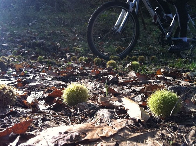
1 - Pailharès Follow the concrete then tarmac lane. Go past the house then into a forest of chestnut trees on a dirt track. After the river, head uphill coming out of the woods on a pretty stone-paved path that leads to a road. Turn left and go as far as the following house (Fontay) and take the grass path adjacent to it. The path leads to a road where you turn right. 2 - Le Clos de Pierre Martin Turn right onto the path plunging down towards the river Daronne valley. After the hamlet with its stone houses turn right onto a grass track. Cross the main road and onto the small lane below. 3 - La Croze de Marron Go left onto the path down into the dale below the road. Follow the road heading into the hamlet then just before the bridge turn left onto the path leading to the stone-built houses. Go across the lovely wooden bridge and along the river over the other side on the forest track. You come out on a country lane that you follow down to a house. Facing you the lane will take you to the main road where you turn right towards Saint Félicien. 4 - Pont de Maillotière On the right take the small road heading to Nozières and go over the bridge. Turn left at la Billardière. Turn left towards le Verger. Further up bear right onto the steep path between fields and go over the hilltop to the other side. Take the path facing you below the barn then up the quite steep slope into the chestnut trees. 5 - Le Grand Pré Turn right onto the forest track. When you reach a barn you will come out onto a small road. Turn left and go along the road for a few metres. Take the path going uphill past the farm then down between fields to the old fortified farmhouse le Pleynet. Go down the road leading to the farm then turn first left. The road becomes a path when you get to Ségnoché. It goes along hedgerows before emerging into woodland and onto a forest track. Turn right and carry on along the smooth track. Cross through fields onto another pretty steep forest track finishing off the uphill climb. When you come out onto the forest route continue until you reach the aerial mast at Col de Fontfreyde. 6 - Col de Fontfreyde Turn left onto the road towards Nozières. 7 - Croix de Junique Take the path on the right between fields going down into woodland then onto an overhead path going past a farm in stonework. After the farm, the path goes back up into a wood of chestnut trees coming out onto a small lane. Turn left here and go along for a few metres before turning right onto a country lane. 8 - Serre de Pailher Turn right into the dense forest of various species of pine trees then come out of the woods into animal pastures and onto the main road. Turn immediately right onto the path leading up into woodland then onto a plateau. When you reach the plateau bear right at the farm la Chaux. Go along the plateau taking you to a rough path on the right. 9- Le Fouillas Go along the main road until you get to Col du Buisson. 10 - Col du Buisson Turn onto the narrow grass track starting below the platform between the two roads leading to the village of Pailharès. The track crosses a small road and goes down a pretty steep incline to a rather rugged dale. On the small road continue to go down on the right then onto the road below facing you. From here you can see the village of Pailharès in front of you. Turn right onto the bushy path and go back towards the village along the hillside.
Technical Information
Altimetric profile
Starting point
Additional information
Advice
Parcours N°11 Noir
Advised parking
Village stopover area
Access
Follow the D273 from Saint Félicien to Pailharès.
Arrival
Pailharès - Village stopover area
Departure
Pailharès - Village stopover area
