Alert
Alerts
Col du Marchand
Description
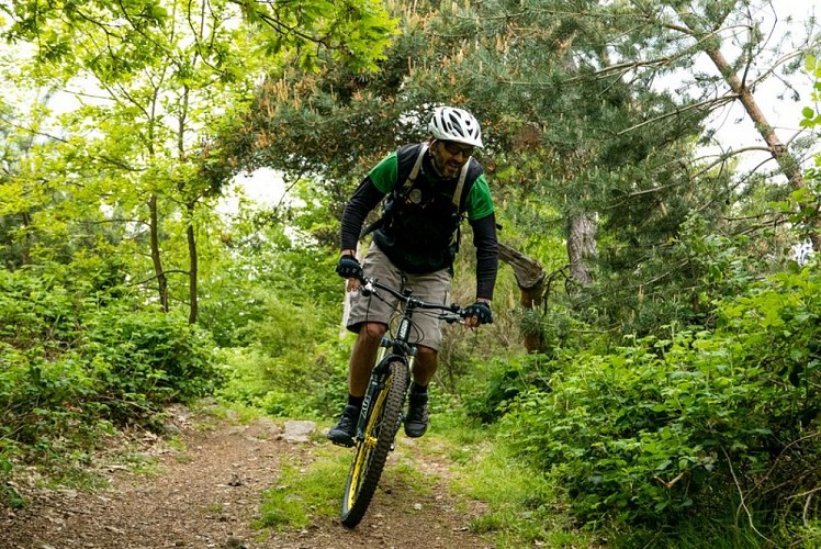
A short, nonetheless, challenging trail with a tough uphill climb towards le Sardier; well-worth the effort when you discover the beautiful view. The highlight though, is without a doubt, the exciting and sometimes technical descent that follows.
1 – Pailharès Head for Col du Marchand and from here turn first left towards the factory Nectardechois. Once past the factory go onto the path in the woods running parallel below the road then coming out again a little further on. When you reach les Bauds carry on along the track replacing the road. The slope becomes steep and quite technical for a good kilometre. You come out on a forest route. From this point the rest of the climb becomes more gentle and goes past a hunters’ cabin. 2 - Le Serre des Vernes Follow the main track. After a slight downhill section turn right and go down a rough path to Col du Marchand. 3 - Col du Marchand Carry on along the main road downhill (careful !). After the house turn right onto a downhill path then onto another path zigzagging through thicket. Cross a small stream then go uphill a little before reaching and continuing along the main track. 4 - Les Granges Go past the topside of les Granges, cross through a chestnut tree grove until you reach a small exposed road. 5 - Le Clos de Pierre Martin Leave the road behind you to turn left downhill towards les maisons de Fontay. Go through the hamlet then carry on ahead down the road. At the end of the tarmac road turn right onto a lovely stone-paved and grass path. The path enters into a wood of chestnut trees, crosses a stream then goes uphill through woodland. Finally, a small road will take you back to the village.
Technical Information
Altimetric profile
Starting point
Additional information
Advice
Parcours N°10 rouge
Advised parking
Village stopover area
Access
Follow the D273 from Saint Félicien to Pailharès.
Arrival
Pailharès - Village stopover area
Departure
Pailharès - Village stopover area
