Tours
Activities
Places of interest
Where to eat
Where to sleep

Discover the surroundings of CAMPANILE Ferney-voltaire

Are you the owner?
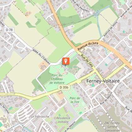
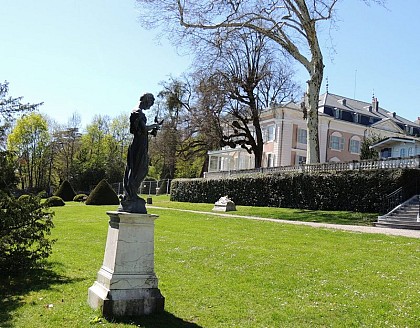
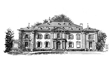
Ferney-Voltaire, a gem in the Ain department of the Rhône-Alpes region, is a sought-after destination for its rich historical and cultural heritage. Start your exploration with Voltaire's House, a living museum of the 18th century, immersing you in the spirit of the renowned Enlightenment philosopher. Nearby, the Château de Voltaire, surrounded by beautiful gardens, is a must-see site.
For nature...
See more

Walking around CAMPANILE

See more suggestions
Explore the hiking trails around CAMPANILE.
See more suggestions
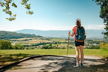
The Way of Saint James in Savoie Mont Blanc - 6-day hike
6.9 km

The Way of Saint James in Savoie Mont Blanc - 6-day hike

From Geneva, the via Gebennensis takes you through the rolling countryside of Savoy, along the Rhône and vineyards, with views of the Alps. This itinerary, steeped in history, promises you the chance to recharge your batteries and unwind. Stage 1: Geneva (St Peter's Cathedral) - Beaumont Distance: 16 km Duration: 4 hours It's time for the big start! From Geneva, this first stage takes in the old town, then Carouge and the Geneva countryside, before reaching the border. Pilgrims enter France via the Auvergne-Rhône-Alpes region, which the route crosses from east to west to reach Le Puy-en-Velay and the historic start of the Via Podiensis. Stage 2: Beaumont - Chaumont Distance: 25.2 km Duration: 7 hours This second, rather long stage takes hikers from Beaumont to Chaumont, crossing the countryside of the Genevois Haut-Savoyard region. The trail between Salève and Vuache offers lovely views of the Geneva basin and the Alps. Stage 3: Chaumont - Hauteurs de Seyssel Distance: 16 km Time: 4 hrs. Today's stage is divided into two beautiful sections. The first takes in the valley of the Usses river, which pilgrims cross at Frangy, before tackling the second, much more challenging part of the route. The hilly landscape of this hike leads to the heights of Seyssel, where the gîtes are located. Stage 4: Heights of Seyssel - Chanaz Distance: 22.4 km Time: 6 h An easy downhill stage from the heights of Seyssel to the pretty village of Chanaz, which welcomes 200,000 visitors every summer. While the first part of the stage leads to the confluence of the Fier and Rhône rivers, the second part takes in the Rhône basin, where man's mark on the landscape is very present in the form of housing, agriculture and industry. Stage 5: Chanaz - Yenne Distance: 16.7 km Duration: 4h30 Today's stage takes place entirely in the Savoie department between Chanaz and Yenne. Most of the GR© runs alongside the Rhône, which hikers leave at the start to gain height, and return to at the finish in the medieval village of Yenne. The Savoy vineyards mark the landscapes through which the hikers pass, as do the surrounding hills, in particular the Dent du Chat, visible to the southeast on the stage's panoramic sites. Stage 6: Yenne - Saint-Genix-sur-Guiers Distance: 24 km Time: 6 hours This is an athletic stage - there's no such thing as flat! From Yenne and the banks of the Rhône, hikers reach Saint-Genix-sur-Guiers, having to cross Mont Tourbier, culminating at an altitude of 880 meters. The entire first part of the stage is devoted to climbing a wooded path on the mountainside, before descending to the banks of the Guiers. In terms of heritage, the Note-Dame de la Montagne chapel, a nod to Lyon's Fourvière basilica, is well worth a stop. At the finish line, a Saint-Genix praline brioche rewards the day's efforts!

125 km
74160 Neydens
Show
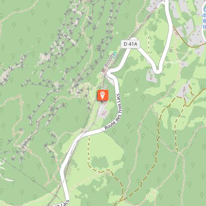
Hiking: Crozet to Crêt de la Neige via La Calame
7.7 km

Hiking: Crozet to Crêt de la Neige via La Calame

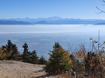
Take on the challenge of an unforgettable hike to the summit of the Jura! A challenging route that will take you to the highest point of the mountain range, with breathtaking views of Mont Blanc as your reward. Set off on a high-altitude adventure to discover the highest point of the Jura Mountains. This varied route takes you through cool woodlands, along open ridges, and through changing landscapes rich in contrasts. Throughout the walk, superb views unfold over the Lake Geneva basin and, when the sky is clear, over the majestic Mont Blanc. The route combines shaded passages and magnificent panoramas, offering a rhythmic and rejuvenating hike. During the opening period, the Fierney cable car allows you to gain altitude easily, without losing any of the diversity of the environments encountered. A perfect mountain getaway to explore the very essence of the Haute Chaîne du Jura. The route runs through the heart of the Haut-Jura Regional Nature Park and partly through the Haute Chaîne du Jura National Nature Reserve: a protected and preserved area to be explored with respect. Please note – Protected area Part of the route crosses the Haute Chaîne du Jura National Nature Reserve, which is subject to specific regulations. Dogs are not allowed, even on a leash. Please respect these rules to preserve the richness of this exceptional environment. The Fierney cable car is operating and can be taken during the scheduled periods, saving you a good hour and a half of climbing.

9 h
19 km
Hard
1518 Rte de la Télécabine 01170 Crozet
Show

What to do in CAMPANILE

See more suggestions
Find bookable activities in CAMPANILE for an unforgettable experience.
See more suggestions

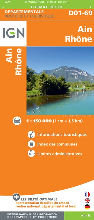
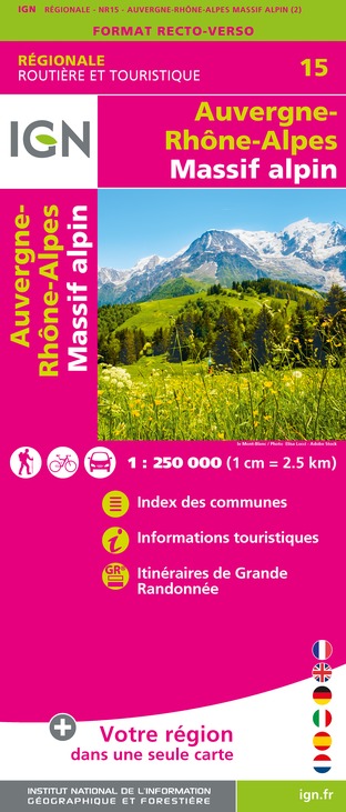
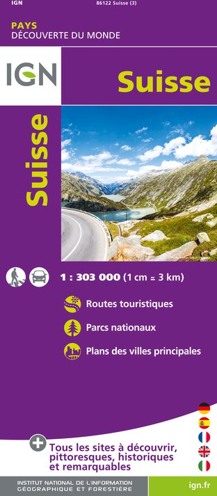
IGN cards

What to visit in CAMPANILE

See more suggestions
Enjoy the green spaces of CAMPANILE.
See more suggestions
Where to eat in CAMPANILE

See more suggestions
The flavors of CAMPANILE await you.
See more suggestions

Where to sleep in CAMPANILE

See more suggestions
Choose a comfortable accommodation in CAMPANILE.
See more suggestions
Caution!
We have no information on the difficulty of this circuit. You may encounter some surprises along the way. Before you go, please feel free to inquire more and take all necessary precautions. Have a good trip! 🌳🥾