Alert
Alerts
5 days - Normandy's most iconic sites, by electric bike


Description
Discover Normandy's not to be missed places, by electric bike, on a 5-day itinerary. Go with the flow at your own pace and desires.
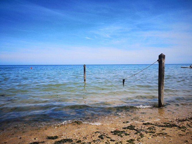
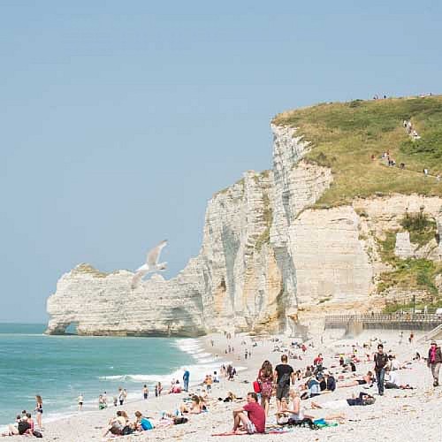
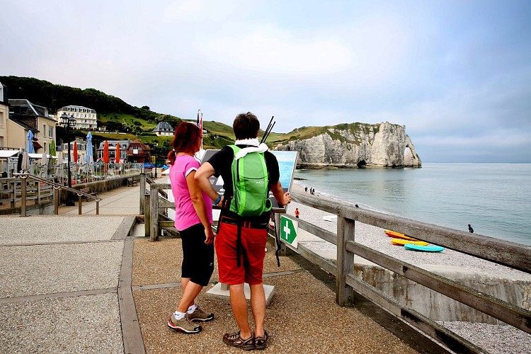
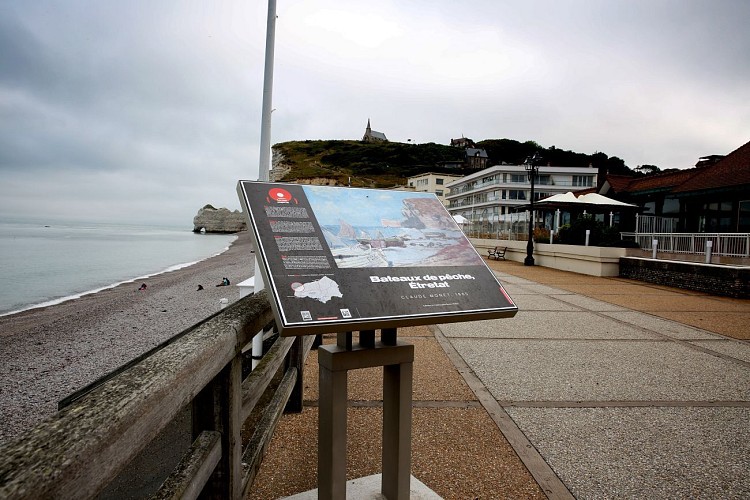
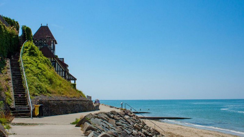
From the 'Côte Fleurie' to the WWII landing beaches, and in-land immersed into Calvados' terroir, you will visit Normandy's key spots such as Deauville and Honfleur, and continue to the magnificent cliffs of Étretat, in Seine Maritime.
The highlights :
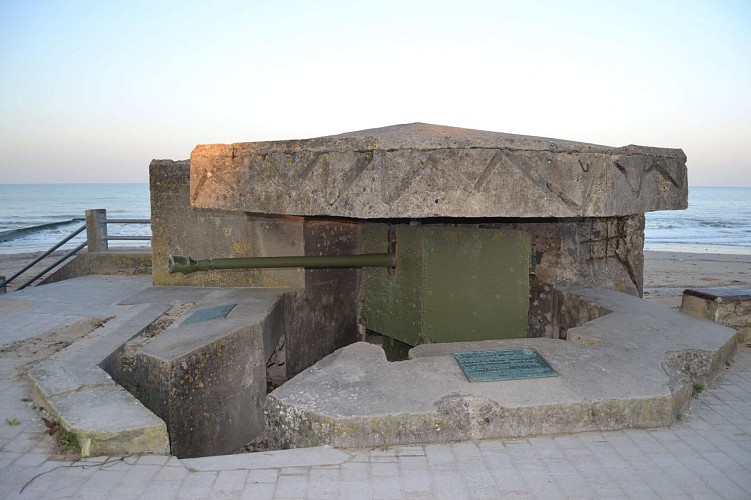
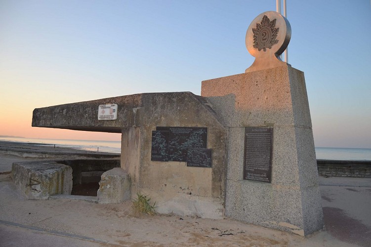
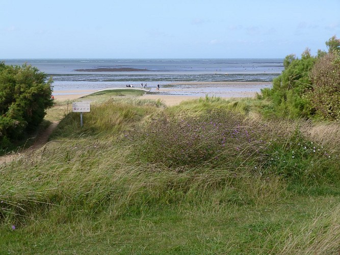
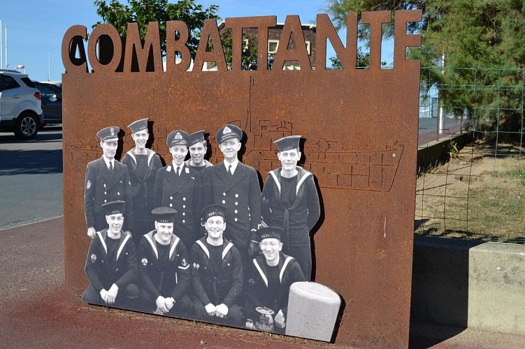
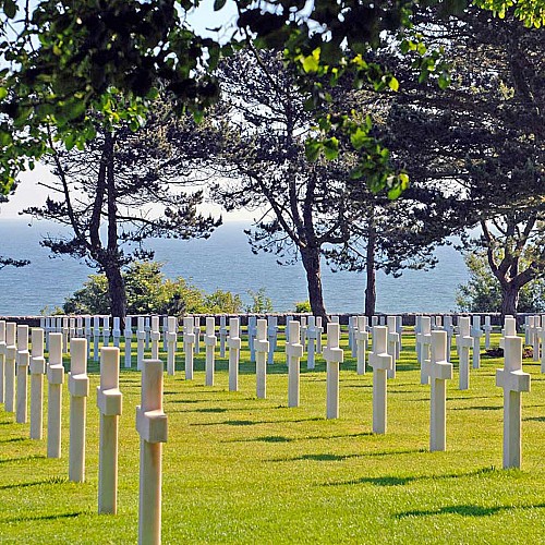
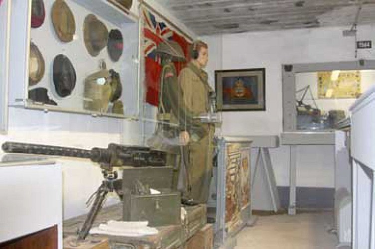
★ Travel through an emotional page of history as you cycle along the Allied landing beaches.
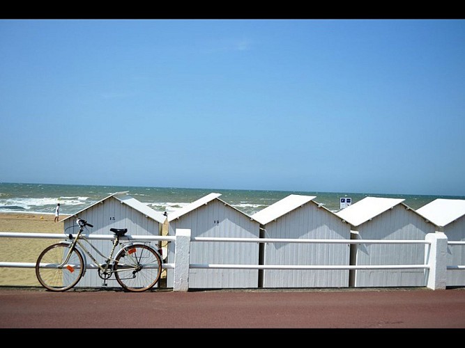
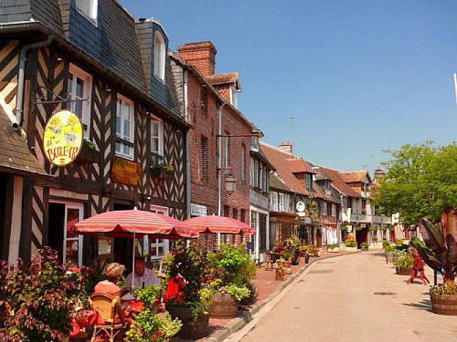
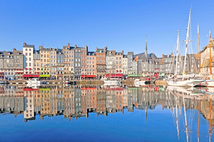
★ Capture the magic of the most beautiful Norman villages: Beuvron-en-Auge, Deauville, Honfleur, and enjoy their unique and colorful architecture.
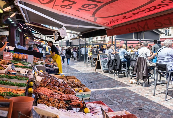
★ Taste Normandy's terroir, its cheeses, cider, Calvados, scallops or salted butter caramels.
★ Drive through the heart of breathtaking nature up to the stunning cliffs of Etretat.
This five-day tour allows you to cover a large part of Normandy without tiring yourself thanks to the electric assistance and not to miss anything!
Let's go on an active getaway rich in discoveries. A selection of charismatic accommodations is recommended for you along the way, the choice is yours!
This tour can be done in 5 or 6 days. 5 days with an average of 4h-4h30 of cycling per day so more intense and 6 days taking the time to visit and explore the hot spots.
Note that the mentioned accommodations are here only as a guideline and recommendation, with different budget options. We have identified unusual and practical places for cycling. Several options depending on the distances you want to cover each day.
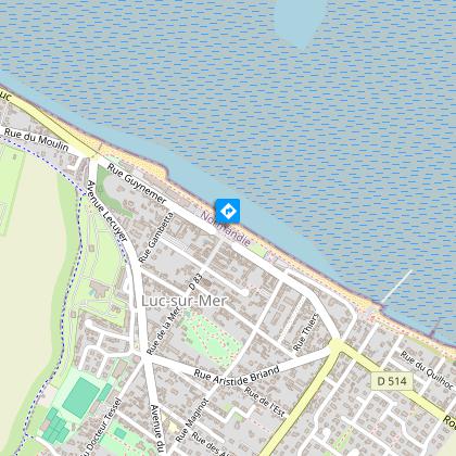
Ouistreham
✓ Bateaux Watson & l'Etoile
Saint-Côme de Fesnet
✓ Villa Gold Beach
Vaux-sur-Aure
✓ Domaine de Hutrel - Chambres d'Hôtes
Arromanche
✓ Les villas d'Arromanche ***
Bayeux
✓ La ferme des Chataigniers - Chambres d'Hôtes
Thue et Mue
✓ La Roulotte des Matis
St Pierre Azif
✓ Les Noctam'bulles, Eco-domaine de Bouquetot (Cabanes dans les arbres)
Villerville
✓ Le Paquebot ****
Etretat
✓ La Cabane de Cécile - La Hutte
✓ Le Jardin d'Alice
Technical Information
Altimetric profile
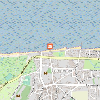
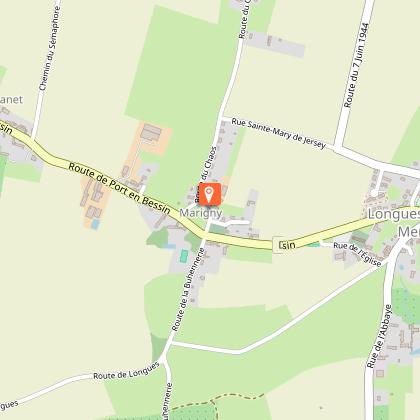
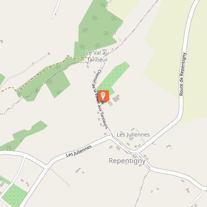
Starting point
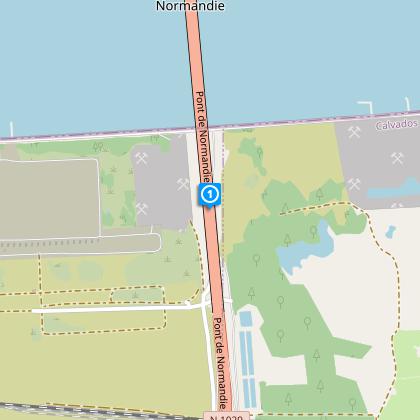
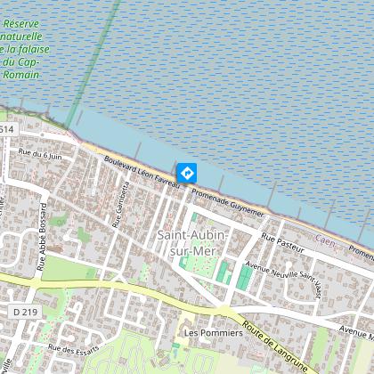
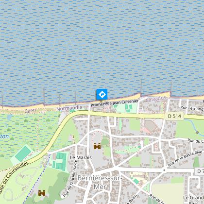
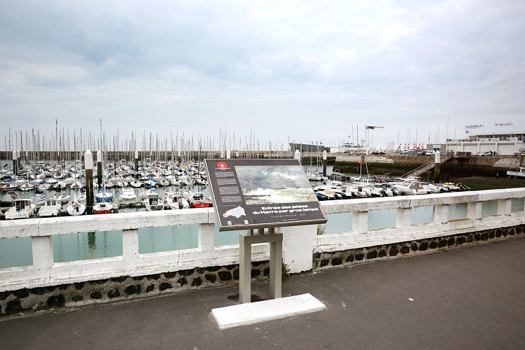
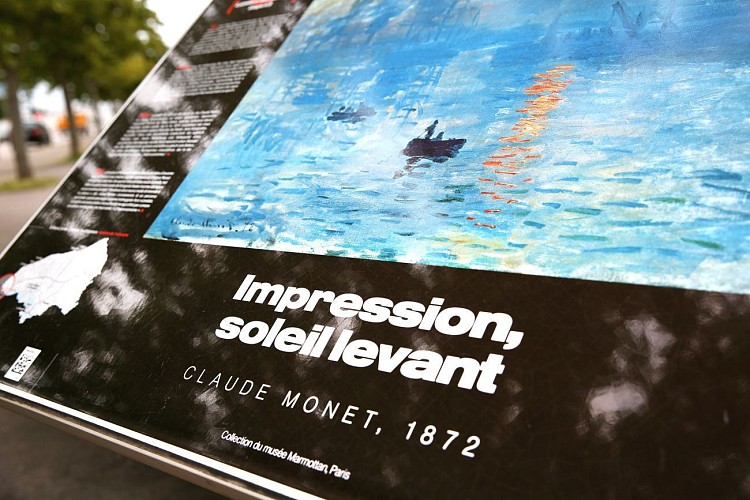
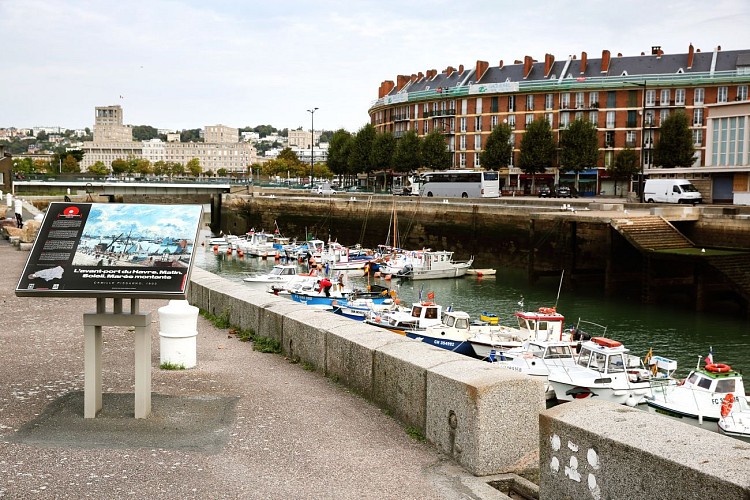
Points of interest


Data author
