Tours
Activities
Places of interest
Where to eat
Where to sleep
Explore Mauzun, Puy-de-Dôme, Auvergne
Are you in charge of the destination?Nestled within the Puy-de-Dôme department, Mauzun is a charming village that attracts nature and history enthusiasts. Start your visit by exploring the impressive ruins of the Château de Mauzun, a medieval gem offering stunning views over the Auvergne landscapes. The hiking trails around the village lead you through lush countryside, offering exceptional panoramas of the region's volcanoes.
Don't...See more
Don't...See more
Walking around Mauzun
See more suggestionsStroll through the walking routes of Mauzun.
See more suggestions


What to do in Mauzun
See more suggestionsExperience unique moments with the bookable activities in Mauzun.
See more suggestions
")


IGN cards
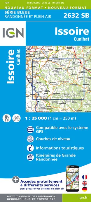
2632SB - ISSOIRE CUNLHAT
Editor : IGN
Collection : TOP 25 ET SÉRIE BLEUE
Scale : 1:25 000
13.90€

D42-43 LOIRE HAUTE-LOIRE
Editor : IGN
Collection : CARTES DÉPARTEMENTALES IGN
Scale : 1:150 000
5.90€

D15-19 CANTAL CORREZE
Editor : IGN
Collection : CARTES DÉPARTEMENTALES IGN
Scale : 1:150 000
5.90€

D03-63 ALLIER PUY-DE-DÔME
Editor : IGN
Collection : CARTES DÉPARTEMENTALES IGN
Scale : 1:150 000
5.90€

EUROPE
Editor : IGN
Collection : DÉCOUVERTE DES PAYS DU MONDE IGN
Scale : 1:2 500 000
7.00€
What to visit in Mauzun
See more suggestionsTaste the culinary specialties of Mauzun.
See more suggestions


Where to eat in Mauzun
See more suggestionsExplore the culinary traditions of Mauzun.
See more suggestions


Where to sleep in Mauzun
See more suggestionsExplore hostels and hotels in Mauzun.
See more suggestions


