Tours
Activities
Places of interest
Where to eat
Where to sleep
Explore Charancieu, Isère, Rhône-Alpes
Are you in charge of the destination?Nestled in the beautiful Rhône-Alpes region, Charancieu in Isère is a perfect destination for those who love exploration and outdoor activities. Visitors can delight in scenic hiking trails that wind through and around the town, offering breathtaking views and a gateway to the natural beauty that abounds in the area.
A visit to the nearby Chartreuse Regional Nature Park is a must, where biodive...See more
A visit to the nearby Chartreuse Regional Nature Park is a must, where biodive...See more
Walking around Charancieu
See more suggestionsWalks and discoveries in Charancieu.
See more suggestions


What to do in Charancieu
See more suggestionsMake your stay in Charancieu special by booking activities.
See more suggestions


IGN cards
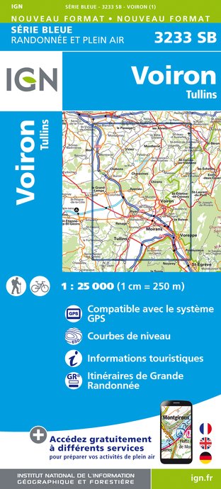
3233SB - VOIRON TULLINS
Editor : IGN
Collection : TOP 25 ET SÉRIE BLEUE
Scale : 1:25 000
13.90€
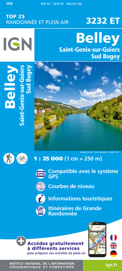
3232ET - BELLEY SAINT-GENIX-SUR-GUIERS SUD BUGEY
Editor : IGN
Collection : TOP 25 ET SÉRIE BLEUE
Scale : 1:25 000
13.90€

3232SB - LA TOUR-DU-PIN MORESTEL
Editor : IGN
Collection : TOP 25 ET SÉRIE BLEUE
Scale : 1:25 000
13.90€

TOP75002 - CHARTREUSE BELLEDONNE
Editor : IGN
Collection : TOP 75
Scale : 1:75 000
9.80€

TOP100D73 - SAVOIE CHAMBÉRY ALBERTVILLE PARC NATIONAL DE LA VANOISE PNR DU MASSIF DES BAUGES
Editor : IGN
Collection : TOP 100
Scale : 1:100 000
8.40€

202 JURA ALPES DU NORD
Editor : IGN
Collection : TOP 200
Scale : 1:200 000
6.80€

D38 ISÈRE
Editor : IGN
Collection : CARTES DÉPARTEMENTALES IGN
Scale : 1:150 000
5.90€

D01-69 AIN RHÔNE
Editor : IGN
Collection : CARTES DÉPARTEMENTALES IGN
Scale : 1:150 000
5.90€

NR14 AUVERGNE-RHÔNE-ALPES RECTO/VERSO MASSIF CENTRAL
Editor : IGN
Collection : CARTES RÉGIONALES IGN
Scale : 1:250 000
6.80€

NR15 AUVERGNE-RHÔNE-ALPES RECTO/VERSO MASSIF ALPIN
Editor : IGN
Collection : CARTES RÉGIONALES IGN
Scale : 1:250 000
6.80€

EUROPE
Editor : IGN
Collection : DÉCOUVERTE DES PAYS DU MONDE IGN
Scale : 1:2 500 000
7.00€
What to visit in Charancieu
See more suggestionsSavor the local cuisine of Charancieu.
See more suggestions


Where to eat in Charancieu
See more suggestionsExplore the best dining spots in Charancieu.
See more suggestions


Where to sleep in Charancieu
See more suggestionsDiscover the best lodging options in Charancieu.
See more suggestions


