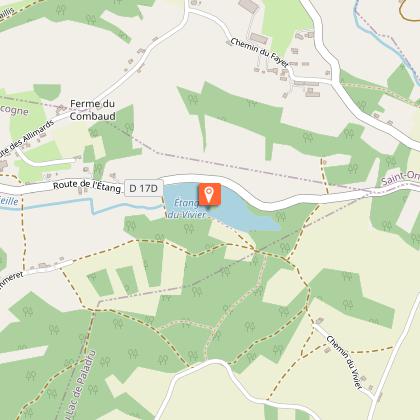
Alert

Alerts

To see around
See more
Open
Close
Show
Show
Show
Show
Show
Show
Show
Show
Show
Show
Show

Oups... It would appear that Cirkwi does not have permission to use your location.

Presentation
Description
Map
Points of interest
Ratings and reviews
See around

Vivier’s pond

1 alert on this circuit

LE LAC DE PALADRU:

Alerte visiteurs

Le lac de Paladru est sujet à de fortes affluences durant la période estivale avec un pic de fréquentation les week-ends de beaux temps et jours fériés.
Préférez plutôt la semaine pour venir en toute tranquillité ! N'hésitez pas à passer voir les conseillères en séjour à l'office de tourisme pour des suggestions alternatives à proximité.

Vivier’s pond
Vivier’s pond_Valencogne

Description

A pretty circuit on Valencogne's plains and its heights which will allow you to have a view on Vivier's pond and Paladru's town.

ROUTE

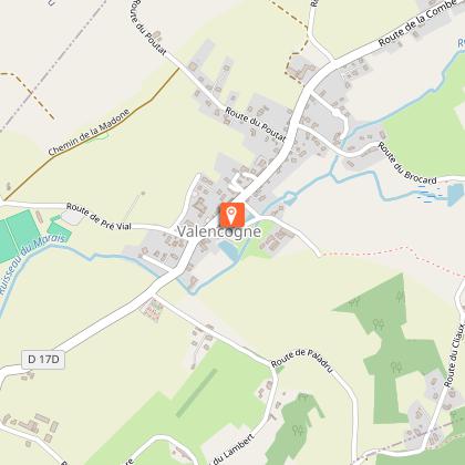
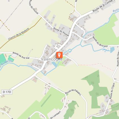
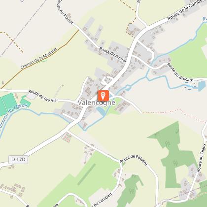
Starting point at Valencogne's town. Parking below the church. Go up towards the church to le chemin du lavoir.

From Valencogne to Gréhaut, this tour follows the GR 65, also called « chemin de Saint-Jacques de Compostelle (Way of Santiago de Compostela)», wlaked by several thousand pilgrims. This journey will lead you then in front of Vivier’s pond, then on the heights of Paladru before returning via the Way of Santiago.


WAYMARKING AND SIGNPOSTING

Follow the yellow marked path and the crossroads:
VALENCOGNE > Chemin du Lavoir > Le Gréhaut > Bois Reyer > Ferme du Mont > Montfrelet > les Allimards > Jalinières > le Brocard > Chemin du Lavoir > VALENCOGNE

An optional 1.4km round trip takes you to the statue of Notre-Dame des Vignes and its lovely panorama of the Bugey peaks.

Technical Information

Walking
Difficulty
Easy
Duration
2h45mn
Dist.
10 km
Show more

Altimetric profile

Starting point

Parking D17d en contrebas de l'église 61 Montée du village , 38730   Valencogne
Lat : 45.498859Lng : 5.539443

Points of interest

1 alert
image du object

Lake Paladru

5km long, 1km wide and 392 ha in surface area, it is the 5th largest natural glacial lake in France. Did you know that, in addition to giving the lake its beautiful turquoise color, the lake chalk that covers its bottom is good for the skin?Shaped during the Ice Age, its banks were home to one of the Isère's 1st human communities in 2700 BC (the Neolithic village of Les Baigneurs). Later, knights from the An Mil period settled on the Colletière site. The remains unearthed during numerous archaeological digs are now on display in the new Musée archéologique du lac de Paladru ( MALP ) in Paladru. The site is also remarkable for its 7 protected natural areas, including the Grands Roseaux to the north of the lake, an ideal nesting ground for birds (mallards, swans, coots and great crested grebes) and spawning grounds for fish (carp, tench, etc.); these reed beds remain inaccessible. To discover the flora and fauna, take the greenway to join the marsh path, which has 4 discovery stations. At a depth of 36 m, its temperature rises to 25° in summer. It is fed by two tributaries, the ruisseau de Courbon and the ruisseau du Pin. At its southern end, the overflow is evacuated via an outfall that forms the La Fure spring. Water is released via surface sluice gates, combined with a weir when the lake's "zero" level is exceeded, and via a deep-water draw-off device (siphon at -30 m), which discharges into the Fure 5 m downstream of the sluice gates. The lake is accessible via 4 municipal beaches: 3 are fee-paying (plages du Pin, Paladru and Montferrat) and 1 is free (plage de Chararvines). SWIMMING is permitted ONLY on these supervised beaches. Animals are not allowed on the beaches. 2 recreation areas, Le Bois d'Amour in Charavines and La Verronière in Montferrat, are freely accessible for picnics by the lake. Please note: barbecues are prohibited in all Tour du Lac areas. The "Blue" lake is not only unique in its color, it's also a private lake that promotes tranquility and family activities. It is also open to fishing and boating. For more information on boating, fishing, swimming and other water sports, visit www.lacpaladru.com/reglement or ask one of our Tourist Office advisors... Whether you're a keen hiker, mountain biker or cyclist, you'll be able to tour the lake and discover all its facets. There's something for everyone, depending on the route you take! And if you'd like to see all the marked trails, the hiking map is available for €5, while the mountain bike map is available free of charge from our reception desks.

- Office de Tourisme du Pays Voironnais -
Consulter

Additional information

Updated by

Office de Tourisme des Vals du Dauphiné - 01/12/2025
www.tourisme-valsdudauphine.fr/
Report a problem

Open period

All year round daily.

Type of land

Ground
Hard coating (tar, cement, flooring)
Grit

Data author

25 Place de la République 38480 Pont de Beauvoisin France

Ratings and reviews

To see around
See more
Open
Close
Show
Show
Show
Show
Show
Show
Show
Show
Show
Show
Show
Caution!
We have no information on the difficulty of this circuit. You may encounter some surprises along the way. Before you go, please feel free to inquire more and take all necessary precautions. Have a good trip! 🌳🥾