Alert
Alerts
GR 65 - Way of Saint James in Isère from Romagnieu to Valencogne
Description
The Via Gebenensis [Way of Geneva] comes from Geneva and joins Le Puy en Velay and the Way of Saint James, 1700km (Spain). After Savoie, the route gets smoother when you reach the Dauphiné's hills, inviting walkers to take this thousand-year-old challenging and spiritual route.
Four historical routes led to Santiago, merging into one in Puenta la Reina, Spain. The Via Tolosana started from Arles, the Via Podiensis from Puy-en-Velay, the Via Lemovicencis from Vézelay and the Via Turomencis from Tours.
If many pilgrims go to Compostela from these four places, a certain number began upstream their solitary walk. Among these itineraries attached to a main route, the "Via Gebennensis", from the Latin name of the departure city Geneva, allows German and Swiss pilgrims to join the Via Podiensis or route du Puy since 1998. Every year, 3500 pilgrims walk this 350 kilometers section also called GR65.
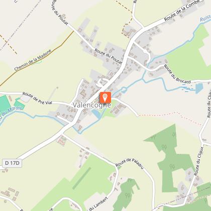
After the mountains of Savoie, the way of St James enters in Isère by the municipalities of Aoste/ Romagnieu/ Les Abrets en Dauphiné / Saint Ondras and Valencogne for a soft stage on the Vals du Dauphiné's hills. In, 1998, the pilgrims road of St James was included in the UNESCO World Heritage List.
The paths are marked and safe. The 21st century pilgrims, often well equipped, have very diverse motivations and go to Santiago on foot but also by bike or on horseback.
Pilgrims accomodations (Accueils jacquaires) are installed in the area. They welcome you on presentation of the "credential".
You can find their contact details in the "Guide Jaune Genève- Le Puy en Velay" of the Amis de St Jacques de Compostelle Rhône Alpes on sale at the association or in the tourist offices (10€).
Technical Information
Altimetric profile
Starting point
Points of interest


Additional information
Updated by
Office de Tourisme des Vals du Dauphiné - 15/04/2026
www.tourisme-valsdudauphine.fr/
Report a problem
Environments
In the country
Open period
All year round daily.
Contact
Phone : 04 76 32 11 24
Email : tourisme@valsdudauphine.fr
Website :
http://www.amis-st-jacques.org/page_daccueil.php
http://www.tourisme-valsdudauphine.fr/
Facebook : https://www.facebook.com/valsdudauphinetourisme/
Type of land
Stone
Ground
Hard coating (tar, cement, flooring)
Topo guides and map references
Topo guides references :
The yellow guide for the Way of Saint James from Geneva to Puy-en-Velay via the GR65 and the Vals du Dauphiné trail map are available for purchase in the tourist offices of Pont de Beauvoisin or La Tour du Pin.
Animals
Yes
Data author
