Alert
Alerts
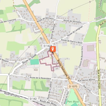
Mountain bike trail - Malseroud marsh and pond

Description
An easy loop to discover the wealth of biological species (fauna, flora) in the river, pond and wet meadows.
ROUTE :
Via a small country road in the forest and then a wide track with more open countryside, you reach the marshes where you follow the river, the Bourbre, on your left. The track is often shaded at this point. The only difficulty is that halfway along the route, there is a 200m climb just before the Ayes farm. The path is quite stony at this point.
At ‘Château de Donat’, take the path on the right and turn left to see the beautiful brick tower, the last remaining trace of the house built around 1870.
Continue as far as the Malseroud pond, classified as a Sensitive Natural Area. This wetland area is ideal for observing birds (coots, grebes, herons), dragonflies, frogs and more. You can walk around the pond. An educational booklet is available from the Tourist Office and at www.tourisme-valsdududauphine.fr. Dogs must be kept on a lead around the pond to preserve the tranquillity of the species.
On the way back, the paths and small country roads wind through cultivated fields and small copses to take you back to ‘Les Bruniaux’. Then cross the village to return to the start.
Be careful, this trail is very pleasant in summer, but the paths through the marshes are often muddy in the wet season (November - April).
SIGNS AND MARKINGS :
Follow the yellow markings and signs:
FITILIEU > Château de Donat > les Bruniaux > FITILIEU
Technical Information
Altimetric profile
Starting point
Points of interest
Additional information
Updated by
Office de Tourisme des Vals du Dauphiné - 14/04/2026
www.tourisme-valsdudauphine.fr/
Report a problem
Environments
Lakeside or by stretch of water
Waterside
In the country
Less than 10 minutes from a train station by bike
Village -2 km away
Open period
All year round daily.
Contact
Phone : 04 76 32 11 24
Email : tourisme@valsdudauphine.fr
Website : http://www.tourisme-valsdudauphine.fr/
Facebook : https://www.facebook.com/valsdudauphinetourisme/
Type of land
Ground
Hard coating (tar, cement, flooring)
Grit
Tricky passages
The wild ponds, like Malseroud’s one, are breeding grounds for many aquatic birds. Therefore, our presence can frighten them. Consequently, please, respect the tranquility of these areas, do not approach the banks of the ponds, especially in spring and dogs must be kept on a leash.
Animals
Yes
Data author
