Alert
Alerts
Between valleys and countryside

Description
Come and walk a portion of the route to Santiago de Compostela o Valencogne heights offering beautiful views of the Chartreuse massif. Calmness and resourcefulness guaranteed!
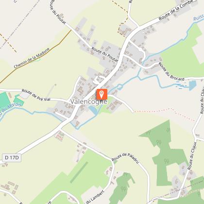
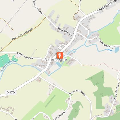
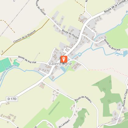
ROUTE
From the church in Valencogne, follow in the footsteps of the Pilgrim's Way to Santiago de Compostela. Note the small statue at the ‘Chemin du Lavoir’ signpost. The path quickly climbs to the heights until ‘Gréhaut’. The route then has a little elevation gain and offers many woodland sections as far as ‘Côte Simandre’. After a nice descent, you reach the hamlet of Brézin.
Turn right immediately to take a very pleasant path through the valley, lined with hedges and cow meadows. In front of you, you can see the village of Valencogne and, in the distance, the mountains of the Savoyard foreland.
The path joins the départementale 17C road, which is not very busy and which you follow for 100m. Once on the other side of the road, the path climbs steeply for 350m. You return to Valencogne via the stadium, then climb one last hill towards the curious statue at the top. It is the Madonna of Notre-Dame des Vignes. Enjoy the panoramic view of the Bugey peaks on your left and the church of Valencogne on your right. This is a very pleasant spot for a picnic (there is a table in the sun). Finally, continue along the path and then the road back to the village.
WAYMARKING AND SIGNPOSTING
From the Valencogne parking lot, follow the yellow markers and the following crossroads:
VALENCOGNE (start) > Chemin du lavoir > Le Gréhaut > Sourilloud > Lambert > Côte Simandre > Chemin de la vie > Les routes > Croix du Jubilé > Le Brocard > Chemin du lavoir > VALENCOGNE (finish)
Technical Information
Altimetric profile
Starting point
Points of interest
Additional information
Environments
Close to GR footpath
Panoramic view
In the country
Lake -5km away
Updated by
Office de Tourisme des Vals du Dauphiné - 21/07/2026
www.tourisme-valsdudauphine.fr/
Report a problem
Open period
All year round daily.
Contact
Phone : 04 76 32 11 24
Email : tourisme@valsdudauphine.fr
Website : http://www.tourisme-valsdudauphine.fr/
Facebook : https://www.facebook.com/valsdudauphinetourisme/
Type of land
Stone
Ground
Hard coating (tar, cement, flooring)
Animals
Yes
Data author
