Tours
Activities
Places of interest
Where to eat
Where to sleep
Explore Saint-prejet-armandon, Auvergne's hidden gem
Are you in charge of the destination?Nestled in the heart of Haute-Loire, Saint-prejet-armandon, Auvergne, is a perfect destination for nature lovers and history enthusiasts. Venture into its pristine natural surroundings, where enchanting hiking trails lead you through picturesque landscapes. Be captivated by the beauty of dormant volcanoes and lush forests. Listen closely to the stories told by the ancient stones of the medieval ch...See more
Walking around Saint-prejet-armandon
See more suggestionsFamily walks around Saint-prejet-armandon.
See more suggestions


What to do in Saint-prejet-armandon
See more suggestionsBook your activities in Saint-prejet-armandon now and get ready for adventure.
See more suggestions


IGN cards

2634SB - BRIOUDE PAULHAGUET
Editor : IGN
Collection : TOP 25 ET SÉRIE BLEUE
Scale : 1:25 000
13.90€
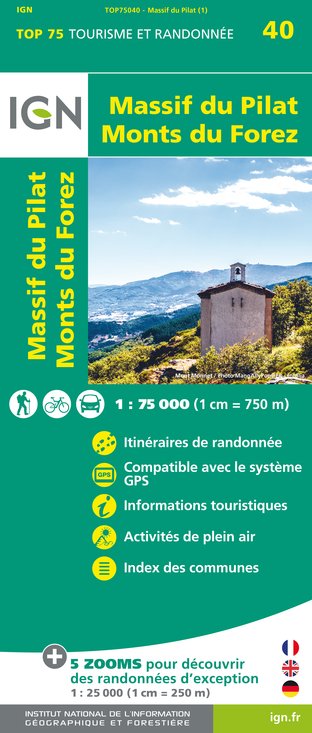
TOP75040 - MASSIF DU PILAT MONTS DU FOREZ
Editor : IGN
Collection : TOP 75
Scale : 1:75 000
9.80€

TOP100D43 - HAUTE-LOIRE LE PUY-EN-VELAY BRIOUDE GORGES DE L'ALLIER
Editor : IGN
Collection : TOP 100
Scale : 1:100 000
8.40€

D03-63 ALLIER PUY-DE-DÔME
Editor : IGN
Collection : CARTES DÉPARTEMENTALES IGN
Scale : 1:150 000
5.90€

D42-43 LOIRE HAUTE-LOIRE
Editor : IGN
Collection : CARTES DÉPARTEMENTALES IGN
Scale : 1:150 000
5.90€

EUROPE
Editor : IGN
Collection : DÉCOUVERTE DES PAYS DU MONDE IGN
Scale : 1:2 500 000
7.00€
What to visit in Saint-prejet-armandon
See more suggestionsEngage in outdoor activities in Saint-prejet-armandon.
See more suggestions


Where to eat in Saint-prejet-armandon
See more suggestionsThe restaurants of Saint-prejet-armandon await you.
See more suggestions


Where to sleep in Saint-prejet-armandon
See more suggestionsBook a pleasant stay in Saint-prejet-armandon.
See more suggestions


