Tours
Activities
Places of interest
Where to eat
Where to sleep
Fleur des Alpes : unforgettable getaway in La brigue
Are you the owner?In winter, nearby ski resorts such as Limone Piemonte offer slopes for all levels. For a quieter pause, why not stroll through the picturesque streets of La brigue, amidst its ancient houses and medieval architecture? Whatever your interests, La brigue and its surroundings promise a multitude of enriching activities.">Nestled in the heart of the Alpes-Maritimes, La brigue is a gem to discover during your stay at the Fleur des Alpes hotel. Begin your exploration with a visit to the Notre-Dame des Fontaines sanctuary, often referred to as the "Sistine Chapel of the Alps" for its stunning frescoes. Nature lovers will revel in the surrounding mountain trails, such as the one leading to the summit of Mount Saccarel,...See more
Walking around FLEUR DES ALPES
See more suggestionsStroll through the walking routes of FLEUR DES ALPES.
See more suggestions


What to do in FLEUR DES ALPES
See more suggestionsExplore the bookable activity options in FLEUR DES ALPES for all tastes and ages.
See more suggestions


IGN cards
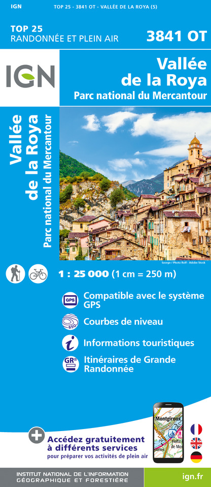
3841OT - VALLÉE DE LA ROYA PARC NATIONAL DU MERCANTOUR
Editor : IGN
Collection : TOP 25 ET SÉRIE BLEUE
Scale : 1:25 000
13.90€

TOP100D06 - ALPES-MARITIMES NICE CÔTE D'AZUR PARC NATIONAL DU MERCANTOUR PNR DES PRÉALPES D'AZUR
Editor : IGN
Collection : TOP 100
Scale : 1:100 000
8.40€

D06 ALPES-MARITIMES
Editor : IGN
Collection : CARTES DÉPARTEMENTALES IGN
Scale : 1:150 000
5.90€

NR16 PROVENCE-ALPES-CÔTE D'AZUR
Editor : IGN
Collection : CARTES RÉGIONALES IGN
Scale : 1:250 000
6.80€

EUROPE
Editor : IGN
Collection : DÉCOUVERTE DES PAYS DU MONDE IGN
Scale : 1:2 500 000
7.00€
What to visit in FLEUR DES ALPES
See more suggestionsLearn the history of FLEUR DES ALPES through its museums.
See more suggestions


Where to eat in FLEUR DES ALPES
See more suggestionsEstablishments in FLEUR DES ALPES offer dishes for all tastes.
See more suggestions


Where to sleep in FLEUR DES ALPES
See more suggestionsExplore lodging possibilities in FLEUR DES ALPES.
See more suggestions


")
")

