Tours
Activities
Places of interest
Where to eat
Where to sleep
Nature escape at Flower Camping Le Martinet in Villard-saint-sauveur
Are you the owner?Located in the heart of the Jura region at Villard-saint-sauveur, Flower Camping Le Martinet serves as the perfect gateway to explore this captivating area. Hiking enthusiasts will enjoy the numerous marked trails that weave through lush and rolling landscapes. Don’t miss the Hérisson Waterfalls, a series of stunning cascades that will delight nature lovers. Culture buffs can visit the Toy Museum ...See more
Walking around FLOWER CAMPING LE MARTINET
See more suggestionsHiking routes in FLOWER CAMPING LE MARTINET.
See more suggestions


What to do in FLOWER CAMPING LE MARTINET
See more suggestionsActivities for all tastes await you in FLOWER CAMPING LE MARTINET, book them today.
See more suggestions


IGN cards
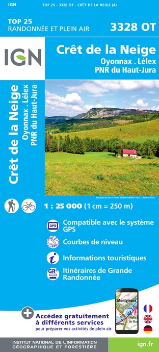
3328OT - CRÊT DE LA NEIGE OYONNAX LÉLEX PNR DU HAUT-JURA
Editor : IGN
Collection : TOP 25 ET SÉRIE BLEUE
Scale : 1:25 000
13.90€

TOP75012 - HAUT-JURA
Editor : IGN
Collection : TOP 75
Scale : 1:75 000
9.80€

TOP100D01 - AIN BOURG-EN-BRESSE AMBÉRIEU-EN-BUGEY PAYS DE GEX
Editor : IGN
Collection : TOP 100
Scale : 1:100 000
8.40€

TOP100D39 - JURA PAYS DE DOLE ET VAL D'AMOUR CHAMPAGNOLE LES ROUSSES PNR DU HAUT-JURA
Editor : IGN
Collection : TOP 100
Scale : 1:100 000
8.40€

TOP100D74 - HAUTE-SAVOIE ANNECY THONON-LES-BAINS MASSIF DU MONT BLANC CHAÎNE DES ARAVIS
Editor : IGN
Collection : TOP 100
Scale : 1:100 000
8.40€

202 JURA ALPES DU NORD
Editor : IGN
Collection : TOP 200
Scale : 1:200 000
6.80€

89026 - GRANDES TRAVERSÉES DU JURA - GTJ
Editor : IGN
Collection : DECOUVERTE DES CHEMINS
Scale : 1:105 000
9.10€

D01-69 AIN RHÔNE
Editor : IGN
Collection : CARTES DÉPARTEMENTALES IGN
Scale : 1:150 000
5.90€

D25-39 DOUBS JURA
Editor : IGN
Collection : CARTES DÉPARTEMENTALES IGN
Scale : 1:150 000
5.90€

NR15 AUVERGNE-RHÔNE-ALPES RECTO/VERSO MASSIF ALPIN
Editor : IGN
Collection : CARTES RÉGIONALES IGN
Scale : 1:250 000
6.80€

NR09 BOURGOGNE FRANCHE-COMTÉ
Editor : IGN
Collection : CARTES RÉGIONALES IGN
Scale : 1:250 000
6.80€

NR14 AUVERGNE-RHÔNE-ALPES RECTO/VERSO MASSIF CENTRAL
Editor : IGN
Collection : CARTES RÉGIONALES IGN
Scale : 1:250 000
6.80€

EUROPE
Editor : IGN
Collection : DÉCOUVERTE DES PAYS DU MONDE IGN
Scale : 1:2 500 000
7.00€
What to visit in FLOWER CAMPING LE MARTINET
See more suggestionsRelax in the parks of FLOWER CAMPING LE MARTINET.
See more suggestions


")


Where to eat in FLOWER CAMPING LE MARTINET
See more suggestionsRestaurants in FLOWER CAMPING LE MARTINET are ready to welcome you.
See more suggestions


Where to sleep in FLOWER CAMPING LE MARTINET
See more suggestionsDiscover the best lodging options in FLOWER CAMPING LE MARTINET.
See more suggestions


