Tours
Activities
Places of interest
Where to eat
Where to sleep

Uncover the treasures of Bevons, Alpes-de-Haute-Provence

Are you in charge of the destination?
Nestled in the heart of the stunning Provence-Alpes-Côte d'Azur region, Bevons, Alpes-de-Haute-Provence offers a wealth of activities and attractions for eager explorers and nature lovers alike. Situated between the picturesque charm of Provençal villages and the grandeur of mountain landscapes, this destination is perfect for those looking to connect with nature while discovering rich local cultu...See more

Walking around Bevons

See more suggestions
Stroll through the walking routes of Bevons.
See more suggestions
Tour du Bois de Bûche
4.9 km

Tour du Bois de Bûche

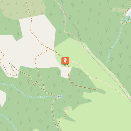
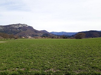
In the spring, this route is a riot of colors, with the blue of the crocuses, the green of the oak trees, and the yellow of the broom flowers. From the ridges of Montagne du Molard—a natural boundary between two valleys—the descent into the Jabron Valley through the Bois de la Bûche offers the finest scents and landscapes of Haute-Provence. Behind the police station, take the nature trail that climbs into the Molard woods. At the antenna, ignore the trail that descends and take the trail that climbs up to the orientation table. From the orientation table, continue straight ahead on the trail through the oak grove toward the Col de la Mairie. At Le Molard, continue toward Col de la Mairie, alternating between open ridges and oak forests. At Rocher du Turc, turn left toward Chantemerle, following the yellow trail markers. The trail descends steeply toward the Jabron Valley, then joins a track that passes near two farms, continuing the descent toward the valley. Continue on the track, then, at a bend after a few houses, leave the track to rejoin a trail. Cross a stream and continue on the trail. Immediately, turn sharply left onto the trail that climbs through the marl. Continue on the path that winds past century-old oak trees and ancient crumbling walls. At the field, following the trail markers, take the clearly visible path through the scrubland of Spanish broom. Turn left into the broom to rejoin the trail that runs along the edge of the orchards. The track gives way to a paved road, flanked by fields that are sometimes cultivated, sometimes fallow. At the hamlet of “Chantemerle,” continue along the road to Sisteron.

5 h
11 km
Easy
Show
Botanical Trail of the Molard
5 km

Botanical Trail of the Molard

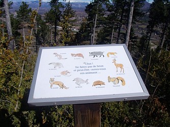
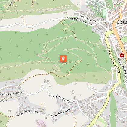
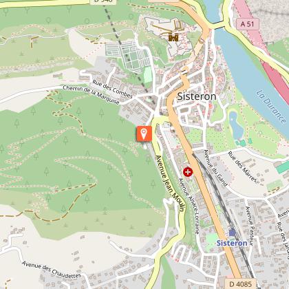
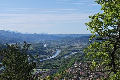
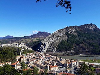
This hike will make you discover the Massif of the Molard and its rich fauna and flora. Known as the « green lung » of Sisteron, the Molard has however lived hard time through centuries due to a lack of forestation. This hike begins just behind the police station (“gendarmerie”), not too far from the road sign « Montée du Molard ». Few meters after the beginning of the path, you’ll pass by a playground. Follow the path which will lead you to the botanical trail. The trail meanders up for about one kilometer (with a net climb? of 200 meters). All along the footpath, take time to watch and read the descriptive signs about the different tree species. After 35 minutes walk, you’ll arrive to an intersection with a high communication antenna. Two options are possible : Or you continue to the « Plateau de Thor ». Or you could go on walking towards the orientation table. After a 10 minutes walk, you’ll pass by the forest cabin and arrive to the Molard’s orientation table, which shows you the different surrounding summits. From this platform, you could admire a 360° panoramic view over the Sisteronais Valley, the villages of Laragne-Montéglin and Ribiers and also over the Durance Canal, which flows gently to the South. This promontory would be a perfect place for a picnic time with several tables and trashbins. After this break, continue your hike by following the trail. Along the path, panels will describe you the living creatures that you could meet during your hike and their place in the forest ecosystem. After a few hundred meters, while the GR 6 continues on the mountain ridge of the Molard, take the footpath on your right at the signpost “Le Molard”. Arriving to a small platform, you have two possibilities : you could go down by the forest track to the « Chemin de la Marquise » and reach the city center, after a 500 meters walk. The other way would be to walk back the trail to go back to your departure point.

3 h
3.8 km
Very easy
Show
Tour de Fontbelle from Sisteron by bike
5 km

Tour de Fontbelle from Sisteron by bike

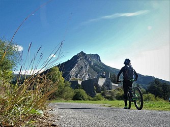
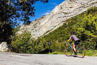
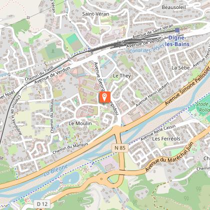
One of the most beautiful bike loops in the department! The Fontbelle loop has everything you need for an unforgettable ride: a challenging mountain pass climb, the enchanting landscapes of the UNESCO Haute-Provence Geopark, and breathtaking views! From the Pont de la Baume (left bank), take the D4 toward Volonne. Cross the N85 carefully and take the small road running parallel to it across the plain. Return to the N85 and follow it to the right until you reach Malijai. In Malijai (426 m), leave the N85 and turn right into the village. Cross the bridge. At the roundabout, take the second exit and turn left onto the D12. Leave it shortly after and turn left onto the D8 toward Le Chaffaut. At the D 8/D 12 intersection (490 m), continue straight on the D 12. Pass through the village of Le Chaffaut and, at the roundabout by the lake, continue straight toward downtown Digne-les-Bains. Cross the bridge over the Bléone and turn right at the roundabout onto Avenue de Verdun. Continue straight ahead, passing through the shopping area until you reach the roundabout on Route de Champtercier. At the intersection of Route Napoléon and the D 3 (560 m), turn right onto the D 3. Climb to Champtercier, cross the Pas de Bonnet (886 m), then descend on its northern slope. At the intersection with the D 17, turn right toward Thoard. Drive through the village, then rejoin the D 3 on the right. After the intersection of the D 3 and D 117 (753 m), at the next junction with the D 117, keep left on the D 3 and begin the climb up the Col de Fontbelle. Cross the pass (1,304 m) and descend to the villages of Authon and then Saint-Geniez. The route then follows the D 3 downhill to Sisteron. At the intersection of the D 3 and D 951 (450 m), turn left onto the D 951 and return to the starting point (Pont de la Baume). Source: www.rando-alpes-haute-provence.fr

24 h
102 km
Easy
Show
De la Baume à Entrepierres by E-mountain bike
5 km

De la Baume à Entrepierres by E-mountain bike

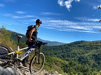
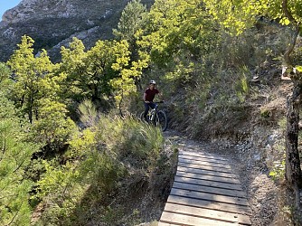
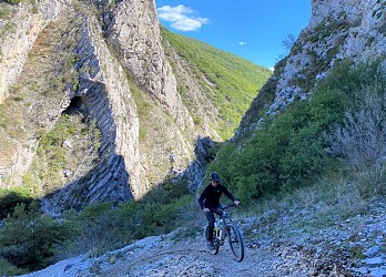
This route, suitable for e-MTBs, runs along the base of the Rocher de la Baume and offers stunning views of the Sisteron region and the surrounding mountains. Around Vilhosc, the marl formations provide a beautiful setting where the vegetation struggles to thrive in the arid conditions. The route also winds through beautiful lavender fields.The main technical challenge is at the narrows and during the descent from the Baume. Starting from the Sisteron Tourist Office, follow the Chemins du Soleil route through the town and past the lake. The route crosses the Durance Bridge, passes at the foot of the Rocher de la Baume, and follows Napoleon’s historic road (offering a beautiful view of the town and the valley). A climb up a trail leads to Entrepierres. In Entrepierres, the route passes by the boules court rest area. Join the road leading to the Crypte du Prieuré. A trail and a road gradually lead to Vilhosc. The route continues along a path through rolling marl hills. Mountain bikers are already treated to a few scenic views along the forest edge. It’s time to take advantage of the undulating marl terrain, which lets you pick up speed and do a few jumps. Head to the hamlet of Les Pignets, where the route heads toward the Pied du Bois trail. At the next intersection, turn right onto the short climb along a rolling, shaded trail. A final descent brings you back to the road. This road runs alongside lavender fields and the crypt of the Priory before rejoining the starting route.  Back in the village of Entrepierres, turn left toward Old Entrepierres and continue on a single-track trail called “Le Détroit” (you can also stay on the small road, which is easier). Ride on to the Col de Mézien (814 m). Finish on the north-facing slope of La Baume with a lovely trail that leads back to Sisteron, mostly along the Way of St. James (be careful on the descent; hikers use this route).

3 h
26 km
Easy
Show

What to do in Bevons

See more suggestions
Find the best activities in Bevons and book easily online.
See more suggestions
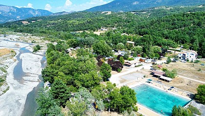
Camping du Moulin de Thoard
21 km

Camping du Moulin de Thoard

Fabrice and Marie receive you in their campsite in the heart of Provence. Located 900 m away from the hilltop village of Thoard, the Moulin de Thoard campsite is a haven of peace surrounded by nature. Come enjoy the benefits of the Duyes valley. For one night or for longer stays, you will find peace and quiet in our magnificent human-size campsite located in the heart of Provence. In this fast-paced society, it is increasingly difficult to find real time for yourself. When taking over the Moulin de Thoard campsite, we wanted to put forward values that are precious to us, such as benevolence, solidarity and authenticity. It is through our exchanges that we wish to share moments of well-being with you. Here, you will find a calm and restful place in the middle of a natural setting. The valley of Thoard is set back from the main tourist routes, which allows it to keep its authenticity. We buy from local producers, breeders and shops, to offer you quality products in our campsite. This way, we favour short supply chain, limiting our environmental impact as much as possible. We are also very concerned about your well-being and the quality of our reception. Your arrival is for us a privileged moment to which we give all our attention. After a few administrative formalities and safety instructions, we will accompany you to your pitch or rental accommodation. We will show you all the facilities of the campsite so that you can fully enjoy it. Our campsite has: 3 huts, 1 chalet, 1 chalet on stilts, 1 perched caravan, 2 mobile homes, 1 tipi, 1 lodge tent, 1 Safari tent. The campsite is also open to motorhomes within the limits of the allocated space. A service area is provided by the village outside the campsite. You will find all the information you need to prepare your stay on our website. Do not hesitate to contact us for further information. Welcome !

8 route Le Planas 04380 Thoard
Book from 1.5 EURBook
Show
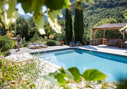
Le Deffends de Redon
34 km

Le Deffends de Redon

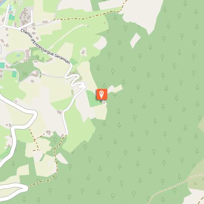
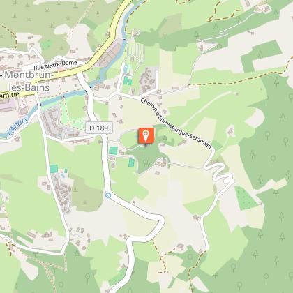
One of the finest views of Drôme Provençale. The Deffends Redon overlooking the valley and allow you to live your provençal dream. On 20 000 m2, this exceptional property, offers a unique view of Mont Ventoux and the famous village of Montbrun. (One of the most beautiful villages in France)! Calm and discretion of this privileged place, surrounded by lavender fields, perched on the edge of the forest, are the major advantages of this location exception. Fully decorated with antiques stuff found in flea markets nearby, you can enjoy both the elegance of the place (renovated in 2012) and the charm of Provence houses. Character house, it features a summer kitchen, a pool at the foot of pines offering a 180 ° panorama of lavender and Mount Ventoux, a petanque court, a Basketball practice. WIFI. Meals. Come share and discover with us this magical place. Parisians, we wanted to find a place full of energy and warmth. When we had the opportunity to install to Monbrun, it was a delight. Village People , the mayor, the head of the tourist office are very friendly. The ease of exchange with all the people we met, reinforced our choice. I will help you prepare your stay: Visit Montbrun, visit the soap factories, lavender fields ... Waiting to meet you. Laurence Panoramic Room: 1 double bedroom + small adjoining room Panoramic view 1 single bed / bathroom and WC Terrace Room: 1 double bed + 1 single bed + private terrace - panoramic view Bathroom + WC Traveller Bedroom: 2 small adjoining rooms with 2 single beds + 1 single bed and bunk bed (sleeps 5) Bathroom + WC.

815 chemin d'entressargue-séramian Le Deffends de Redon 26570 Montbrun-les-Bains
Book from 0 €Book
Show

IGN cards

3339OT - SISTERON LARAGNE-MONTEGLIN   MONTAGNE DE CHABRE
3339OT - SISTERON LARAGNE-MONTEGLIN MONTAGNE DE CHABRE
Editor : IGN
Collection : TOP 25 ET SÉRIE BLEUE
Scale : 1:25 000
13.90€
3341OT - MONTAGNE DE LURE LES MÉES CHÂTEAU-ARNOUX-SAINT-AUBAN
Editor : IGN
Collection : TOP 25 ET SÉRIE BLEUE
Scale : 1:25 000
13.90€
VEL03 - LE VAUCLUSE A VÉLO
Editor : IGN
Collection : DECOUVERTE A VELO
Scale : 1:100 000
9.10€
TOP100D04 - ALPES-DE-HAUTE-PROVENCE DIGNE MANOSQUE PNR DU VERDON LAC DE SERRE-PONÇON
Editor : IGN
Collection : TOP 100
Scale : 1:100 000
8.40€
TOP100D84 - VAUCLUSE AVIGNON CARPENTRAS PARCS NATURELS RÉGIONAUX DU LUBERON ET DU MONT-VENTOUX
Editor : IGN
Collection : TOP 100
Scale : 1:100 000
8.40€
TOP100D05 - HAUTES-ALPES GAP BRIANÇON PARC NATIONAL DES ÉCRINS PARC NATUREL RÉGIONAL DU QUEYRAS
Editor : IGN
Collection : TOP 100
Scale : 1:100 000
8.40€
D06 ALPES-MARITIMES
D06 ALPES-MARITIMES
Editor : IGN
Collection : CARTES DÉPARTEMENTALES IGN
Scale : 1:150 000
5.90€
D04-05 ALPES-DE-HAUTE-PROVENCE HAUTES-ALPES
Editor : IGN
Collection : CARTES DÉPARTEMENTALES IGN
Scale : 1:150 000
5.90€
D13-84 BOUCHES-DU-RHÔNE  VAUCLUSE
D13-84 BOUCHES-DU-RHÔNE VAUCLUSE
Editor : IGN
Collection : CARTES DÉPARTEMENTALES IGN
Scale : 1:150 000
5.90€
D07-26 ARDÈCHE DRÔME
Editor : IGN
Collection : CARTES DÉPARTEMENTALES IGN
Scale : 1:150 000
5.90€
D83 VAR
D83 VAR
Editor : IGN
Collection : CARTES DÉPARTEMENTALES IGN
Scale : 1:150 000
5.90€
NR16 PROVENCE-ALPES-CÔTE D'AZUR
Editor : IGN
Collection : CARTES RÉGIONALES IGN
Scale : 1:250 000
6.80€
NR14 AUVERGNE-RHÔNE-ALPES RECTO/VERSO MASSIF CENTRAL
Editor : IGN
Collection : CARTES RÉGIONALES IGN
Scale : 1:250 000
6.80€
NR15 AUVERGNE-RHÔNE-ALPES RECTO/VERSO MASSIF ALPIN
Editor : IGN
Collection : CARTES RÉGIONALES IGN
Scale : 1:250 000
6.80€
EUROPE
EUROPE
Editor : IGN
Collection : DÉCOUVERTE DES PAYS DU MONDE IGN
Scale : 1:2 500 000
7.00€

What to visit in Bevons

See more suggestions
Discover the nightlife of Bevons.
See more suggestions
Where to eat in Bevons

See more suggestions
Establishments in Bevons offer dishes for all tastes.
See more suggestions
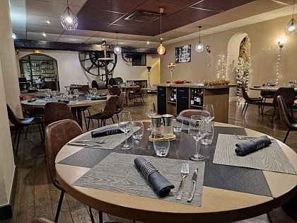
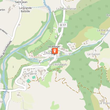
Where to sleep in Bevons

See more suggestions
Discover popular accommodations in Bevons.
See more suggestions
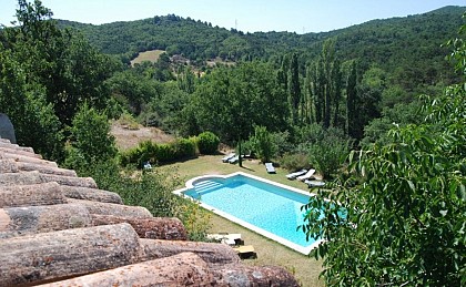
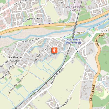
Camping du Moulin de Thoard
21 km

Camping du Moulin de Thoard

Fabrice and Marie receive you in their campsite in the heart of Provence. Located 900 m away from the hilltop village of Thoard, the Moulin de Thoard campsite is a haven of peace surrounded by nature. Come enjoy the benefits of the Duyes valley. For one night or for longer stays, you will find peace and quiet in our magnificent human-size campsite located in the heart of Provence. In this fast-paced society, it is increasingly difficult to find real time for yourself. When taking over the Moulin de Thoard campsite, we wanted to put forward values that are precious to us, such as benevolence, solidarity and authenticity. It is through our exchanges that we wish to share moments of well-being with you. Here, you will find a calm and restful place in the middle of a natural setting. The valley of Thoard is set back from the main tourist routes, which allows it to keep its authenticity. We buy from local producers, breeders and shops, to offer you quality products in our campsite. This way, we favour short supply chain, limiting our environmental impact as much as possible. We are also very concerned about your well-being and the quality of our reception. Your arrival is for us a privileged moment to which we give all our attention. After a few administrative formalities and safety instructions, we will accompany you to your pitch or rental accommodation. We will show you all the facilities of the campsite so that you can fully enjoy it. Our campsite has: 3 huts, 1 chalet, 1 chalet on stilts, 1 perched caravan, 2 mobile homes, 1 tipi, 1 lodge tent, 1 Safari tent. The campsite is also open to motorhomes within the limits of the allocated space. A service area is provided by the village outside the campsite. You will find all the information you need to prepare your stay on our website. Do not hesitate to contact us for further information. Welcome !

8 route Le Planas 04380 Thoard
Book from 1.5 EURBook
Show
Caution!
We have no information on the difficulty of this circuit. You may encounter some surprises along the way. Before you go, please feel free to inquire more and take all necessary precautions. Have a good trip! 🌳🥾