Alert

Alerts

To see around
See more
Open
Close
Show
Show
Show
Show
Show
Show
Show
Show
Show
Show
Show

Oups... It would appear that Cirkwi does not have permission to use your location.

Presentation
Description
Map
Ratings and reviews
See around

Tour de Saint-Domnin

Sur le plateau du Thor
Chapelle de Saint-Domnin
Sur le tour de Saint-Domnin
Credit : CCSB

IGN cards

3340ET - DIGNE-LES-BAINS SISTERON LES MÉES
Editor : IGN
Collection : TOP 25 ET SÉRIE BLEUE
Scale : 1:25 000
13.90€
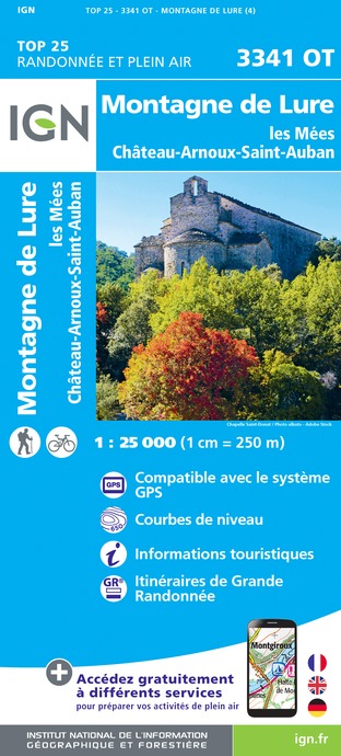
3341OT - MONTAGNE DE LURE LES MÉES CHÂTEAU-ARNOUX-SAINT-AUBAN
Editor : IGN
Collection : TOP 25 ET SÉRIE BLEUE
Scale : 1:25 000
13.90€
3339OT - SISTERON LARAGNE-MONTEGLIN MONTAGNE DE CHABRE
Editor : IGN
Collection : TOP 25 ET SÉRIE BLEUE
Scale : 1:25 000
13.90€
VEL03 - LE VAUCLUSE A VÉLO
Editor : IGN
Collection : DECOUVERTE A VELO
Scale : 1:100 000
9.10€
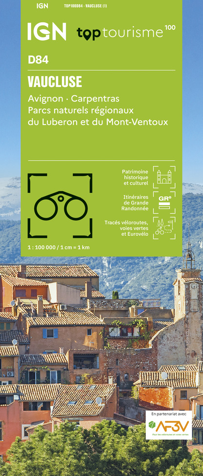
TOP100D84 - VAUCLUSE AVIGNON CARPENTRAS PARCS NATURELS RÉGIONAUX DU LUBERON ET DU MONT-VENTOUX
Editor : IGN
Collection : TOP 100
Scale : 1:100 000
8.40€
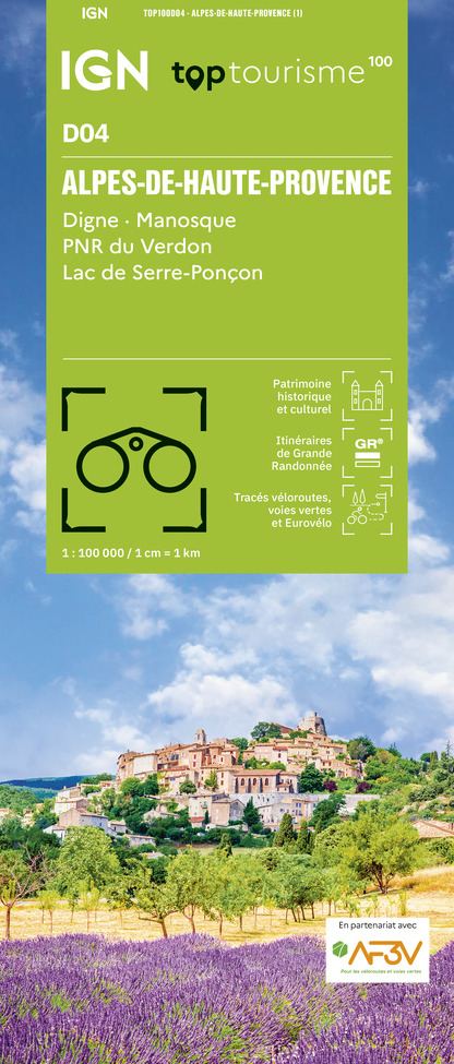
TOP100D04 - ALPES-DE-HAUTE-PROVENCE DIGNE MANOSQUE PNR DU VERDON LAC DE SERRE-PONÇON
Editor : IGN
Collection : TOP 100
Scale : 1:100 000
8.40€
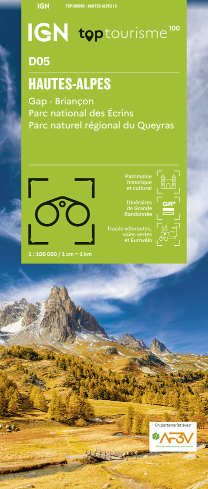
TOP100D05 - HAUTES-ALPES GAP BRIANÇON PARC NATIONAL DES ÉCRINS PARC NATUREL RÉGIONAL DU QUEYRAS
Editor : IGN
Collection : TOP 100
Scale : 1:100 000
8.40€
D83 VAR
Editor : IGN
Collection : CARTES DÉPARTEMENTALES IGN
Scale : 1:150 000
5.90€
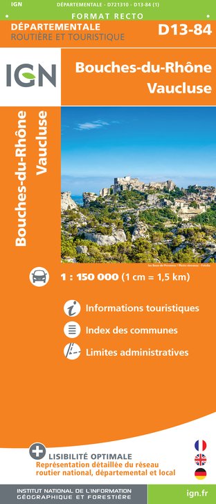
D13-84 BOUCHES-DU-RHÔNE VAUCLUSE
Editor : IGN
Collection : CARTES DÉPARTEMENTALES IGN
Scale : 1:150 000
5.90€
D04-05 ALPES-DE-HAUTE-PROVENCE HAUTES-ALPES
Editor : IGN
Collection : CARTES DÉPARTEMENTALES IGN
Scale : 1:150 000
5.90€
D06 ALPES-MARITIMES
Editor : IGN
Collection : CARTES DÉPARTEMENTALES IGN
Scale : 1:150 000
5.90€
NR14 AUVERGNE-RHÔNE-ALPES RECTO/VERSO MASSIF CENTRAL
Editor : IGN
Collection : CARTES RÉGIONALES IGN
Scale : 1:250 000
6.80€
NR16 PROVENCE-ALPES-CÔTE D'AZUR
Editor : IGN
Collection : CARTES RÉGIONALES IGN
Scale : 1:250 000
6.80€
NR15 AUVERGNE-RHÔNE-ALPES RECTO/VERSO MASSIF ALPIN
Editor : IGN
Collection : CARTES RÉGIONALES IGN
Scale : 1:250 000
6.80€
EUROPE
Editor : IGN
Collection : DÉCOUVERTE DES PAYS DU MONDE IGN
Scale : 1:2 500 000
7.00€

Description

Following the GR part (St-Jacques de Compostelle way) this quite easy trail will makes you brisk into the Jabron valley before returning to the departure point and the St Domnin chapel.


From the chapel, take path on your right (GR markings). Go down the valley until the junction with the road at the Gournias bridge. Turn right on the road and follow the yellow markings alternating between a track and a tarred road.
Once Chantemerle reached, go up on the rocky track on your right and reach the road again a few meters further. Follow the departmental road D 53 for 1 km. At Thor neighbourhood, weave while following the markings heading to the departure point.

Technical Information

Walking
Difficulty
Very easy
Duration
1h30mn
Dist.
4.4 km
Show more

Altimetric profile

Starting point

Lat : 44.1779572Lng : 5.9376795

Additional information

Public transport

Limitons les déplacements en voiture, pensons aux transports en commun et au covoiturage :  zou.maregionsud.fr

Advised parking

Saint-Domnin chapel’s parking lot – Thor plateau – in Sisteron

Access

From Gap (50 km) follow the national road N 85 and take the motorway A 12 from la Saulce to Sisteron. The departure neighbourhood (le Thor) is located at the south-west of the town.

Arrival

Chapelle Saint-Domnin, plateau du Thor, Sisteron

Departure

Chapelle Saint-Domnin, plateau du Thor, Sisteron

Data author

Ratings and reviews

To see around
See more
Open
Close
Show
Show
Show
Show
Show
Show
Show
Show
Show
Show
Show
Caution!
We have no information on the difficulty of this circuit. You may encounter some surprises along the way. Before you go, please feel free to inquire more and take all necessary precautions. Have a good trip! 🌳🥾