Tours
Activities
Places of interest
Where to eat
Where to sleep
Nature and relaxation in Oulles, Isère, Rhône-Alpes
Are you in charge of the destination?Nestled in the heart of the Rhône-Alpes region, the charming town of Oulles, Isère, offers a little piece of paradise for nature and tranquility lovers. Visitors here discover a rich array of outdoor activities and breathtaking Alpine landscapes. In the summer, the village is an ideal starting point for hikes through the majestic mountains of the Oisans, with trails winding through lush valleys an...See more


")


")

")

What to do in Oulles
See more suggestionsDiscover surprising activities in Oulles and book the ones you like.
See more suggestions


IGN cards
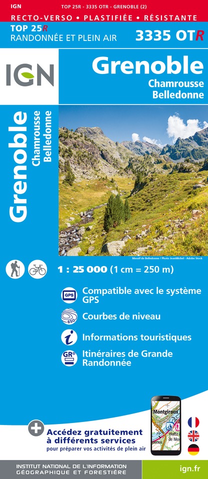
3335OTR - GRENOBLE RESISTANTE CHAMROUSSE BELLEDONNE
Editor : IGN
Collection : TOP 25 RÉSISTANTE
Scale : 1:25 000
17.20€

3335ETR - LE BOURG-D'OISANS L'ALPE D'HUEZ RESISTANTE GRANDES ROUSSES SEPT LAUX
Editor : IGN
Collection : TOP 25 RÉSISTANTE
Scale : 1:25 000
17.20€
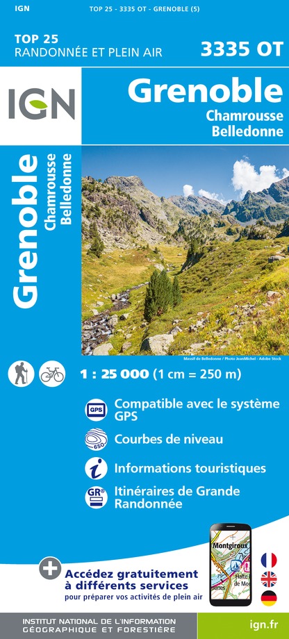
3335OT - GRENOBLE
Editor : IGN
Collection : TOP 25 ET SÉRIE BLEUE
Scale : 1:25 000
13.90€

3335ET - LE BOURG-D'OISANS L'ALPE D'HUEZ GRANDES ROUSSES SEPT LAUX
Editor : IGN
Collection : TOP 25 ET SÉRIE BLEUE
Scale : 1:25 000
13.90€

TOP75006 - MASSIF DES ECRINS OISANS CHAMPSAUR
Editor : IGN
Collection : TOP 75
Scale : 1:75 000
9.80€

TOP100D73 - SAVOIE CHAMBÉRY ALBERTVILLE PARC NATIONAL DE LA VANOISE PNR DU MASSIF DES BAUGES
Editor : IGN
Collection : TOP 100
Scale : 1:100 000
8.40€

202 JURA ALPES DU NORD
Editor : IGN
Collection : TOP 200
Scale : 1:200 000
6.80€

D04-05 ALPES-DE-HAUTE-PROVENCE HAUTES-ALPES
Editor : IGN
Collection : CARTES DÉPARTEMENTALES IGN
Scale : 1:150 000
5.90€

D38 ISÈRE
Editor : IGN
Collection : CARTES DÉPARTEMENTALES IGN
Scale : 1:150 000
5.90€

NR16 PROVENCE-ALPES-CÔTE D'AZUR
Editor : IGN
Collection : CARTES RÉGIONALES IGN
Scale : 1:250 000
6.80€

NR14 AUVERGNE-RHÔNE-ALPES RECTO/VERSO MASSIF CENTRAL
Editor : IGN
Collection : CARTES RÉGIONALES IGN
Scale : 1:250 000
6.80€

NR15 AUVERGNE-RHÔNE-ALPES RECTO/VERSO MASSIF ALPIN
Editor : IGN
Collection : CARTES RÉGIONALES IGN
Scale : 1:250 000
6.80€

EUROPE
Editor : IGN
Collection : DÉCOUVERTE DES PAYS DU MONDE IGN
Scale : 1:2 500 000
7.00€
What to visit in Oulles
See more suggestionsStroll through the historic districts of Oulles.
See more suggestions


Where to eat in Oulles
See more suggestionsRestaurants in Oulles offer a variety of cuisines.
See more suggestions


Where to sleep in Oulles
See more suggestionsDiscover popular accommodations in Oulles.
See more suggestions


")


