Alert
Alerts
Type of practice
Walking
Easy
2h30mn
Presentation
Description
Map
Steps
Ratings and reviews
See around
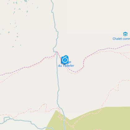
Taillefer Refuge (by Oulles)


Credit : Laurianne Mahé - Oisans Tourisme
Description
From Oulles take the road to the Pouillard hamlet and then the track for about 750 m, here the path starts on the right. It's a steep path with a wonderful view over Oulles and the Oisans mountains. It leads out into the alpine grazing, passes close to the chalet du Carrelt and carries on to the Taillefer mountain hut.
OBP map (l'Oisans au Bout des Pieds), available in Oisans, number 1 path n° 636.
Practical informations :
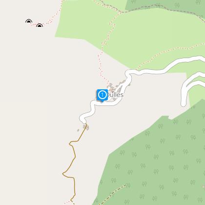
Start : Car park in Oulles
Height gain : 700 m
Time : 2h30 (1h45 return trip)
Technical Information
Walking
Difficulty
Easy
Duration
2h30mn
(1d)
Dist.
3.9 km
Type of practice
Walking
Easy
2h30mn
Show more
Altimetric profile
Starting point
38520
Oulles
Lat : 45.07343Lng : 5.98139
Data author

proposed by
Oisans Tourisme
1 bis rue Humbert 38529 Le Bourg-d'oisans France
Ratings and reviews
To see around